2012.13.1.6.159
·
Item
·
[1980?]
Part of J. Kent Sedgwick fonds
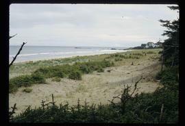
Image depicts the Barkerville Cemetery.