Showing 21791 results
Archival description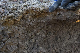
2016.7.3.45.16
2016.7.3.45.19
2016.7.3.45.22
2016.7.3.45.27
2016.7.3.45.28
2016.7.3.45.32
2016.7.3.45.44
2016.7.3.45.47
2016.7.3.45.51
2016.7.3.45.53
2016.7.3.45.56
2016.7.3.45.65
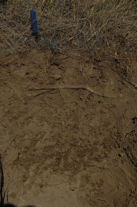
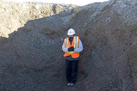
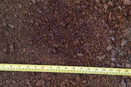
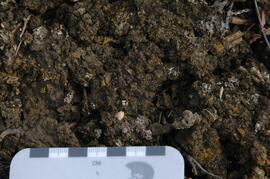
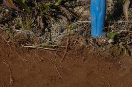
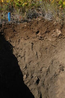
Stikine River valley soil at site BC08-06
![City of Prince George - Schedule C of the Official Community Plan - Long Range Land Use Map [May 2008 Amendment]](/uploads/r/northern-bc-archives-special-collections-1/4/3/a/43a9e75941f1542735d999de340307d163e79dffdadbf4546bb9346b63f7e734/2023.5.1.41_-_2008_May_-_City_of_Prince_George_Long_Range_Land_Use_Map_JPG85_tb_142.jpg)
City of Prince George - Schedule C of the Official Community Plan - Long Range Land Use Map [May 2008 Amendment]
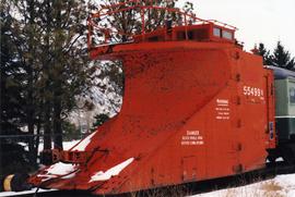
CNR heavy duty snow plow
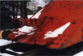
CNR heavy duty snow plow
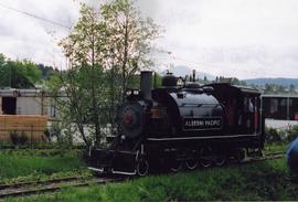
Alberni Pacific Railway train
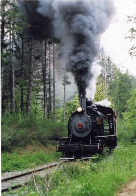
Alberni Pacific Railway train
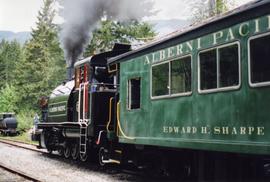
Alberni Pacific Railway train
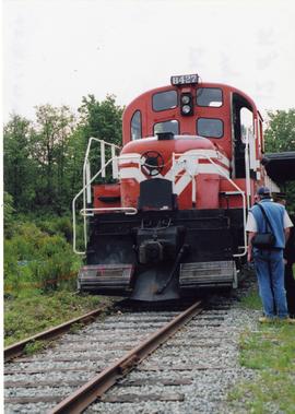
Switching locomotive
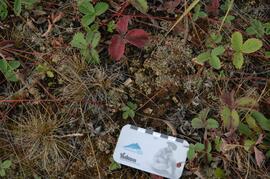
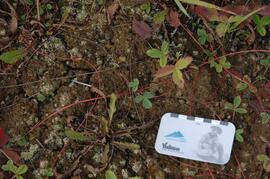
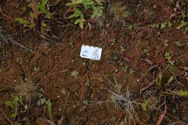
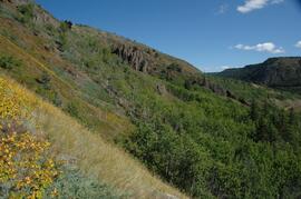
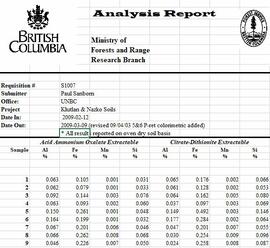
Grassland soils in the Boreal Cordillera Ecozone
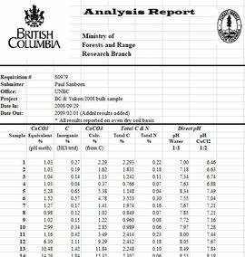
Grassland soils in the Boreal Cordillera Ecozone study data

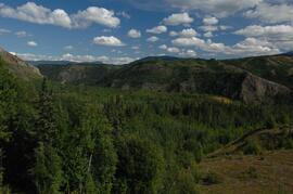
Lower Tuya River, facing downstream ~5 km above the Stikine River confluence
Untitled

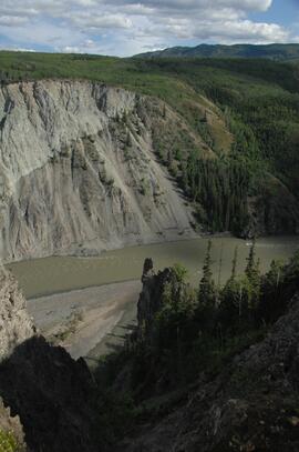
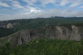
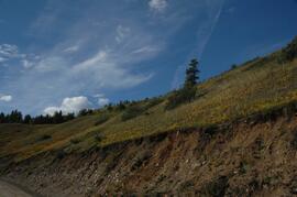
Basalt flows, north side of Stikine River along Telegraph Creek Road
Untitled
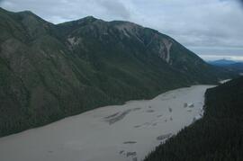
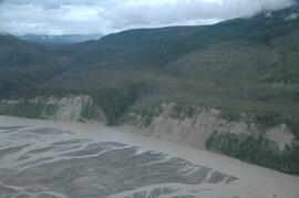
Stikine River, facing upstream ~8 km northeast of the Tuya River confluence
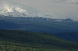
View west to Mt Edziza
Tuya River, facing downstream ~10 km above the Stikine River confluence

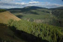
Forest-grassland mosaic, southeast side of Kluane Lake (north of Christmas Bay)

Forest-grassland mosaic, southeast side of Kluane Lake (north of Christmas Bay)
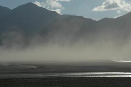
Dust storm over Slims River, upstream of Alaska Highway
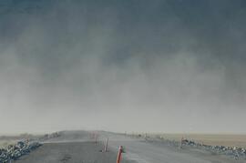
Dust storm over Slims River, obscuring Alaska Highway

Beetle-killed spruce forest, southeast side of Kluane Lake

Beetle-killed spruce forest and adjacent grassland, southeast side of Kluane Lake

South facing grasslands, ~1 km on Mt Nansen Road
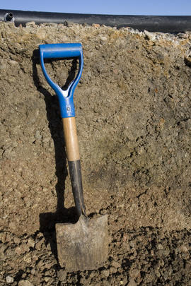
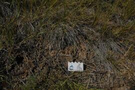
Tuya River valley soil crust at site BC07-01
Tuya River valley soil crust at site BC07-03
Tuya River valley soil crust at site BC07-03
Tuya River valley soil crust at site BC07-03
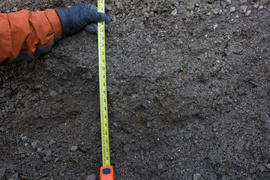
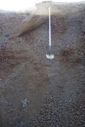
Tuya River valley soil at site BC07-03
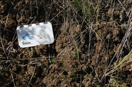
Stikine River valley soil crust at site BC07-04
Stikine River valley soil crust at site BC07-04
Stikine River valley site BC07-04
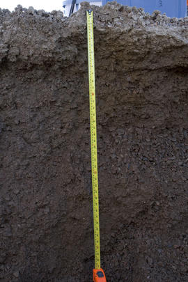
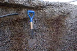
Stikine River valley soil at site BC07-04
Stikine River valley site BC07-05
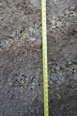
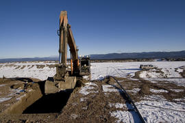
Klutlan Glacier soils study data
White River, facing north downstream
White River, west bank ~10 km above highway bridge

West side of Generc River, with thick tephra cover over glacial deposits