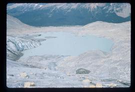
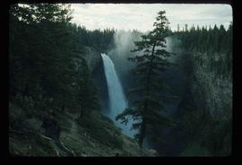
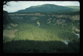
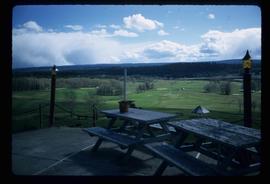
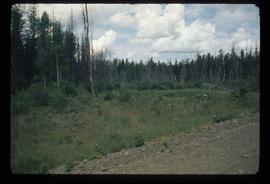
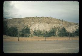
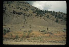
Showing 2097 results

Archival description
Near Williams Lake
2012.13.1.50.032 · Item · 1974
Part of J. Kent Sedgwick fonds

Image depicts an aerial view of some scenery near Williams Lake, B.C. The highway and BCR tracks are visible among the trees.

Cariboo Road
2012.13.1.6.031 · Item · June 1974
Part of J. Kent Sedgwick fonds

Image depicts the Cariboo Road at Hat Creek Ranch, near Highway 99 on the way to Lillooet.

Dawson Creek
2012.13.1.91.01 · Item · Sep. 1974
Part of J. Kent Sedgwick fonds

Image depicts a road with a guardrail and open fields somewhere near Dawson Creek, B.C.

W.A.C. Bennett Dam
2012.13.1.91.02 · Item · Sep. 1974
Part of J. Kent Sedgwick fonds

Image depicts a section of the Peace River blocked off by the W.A.C. Bennett Dam. The dam itself is not visible in the image.

Barriere
2012.13.1.74.01 · Item · Aug. 1974
Part of J. Kent Sedgwick fonds

Image depicts a section of river located somewhere near Barriere, B.C.