2012.13.2.17.19.03
·
Item
·
Oct. 2005
Part of J. Kent Sedgwick fonds
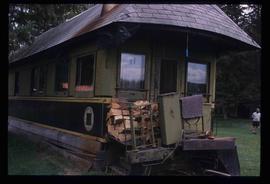
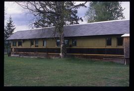
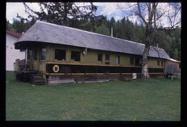
The item is a photograph depicting an old, rundown stable at Salmon Valley Ranch. The structure is wooden with a sheet metal roof.