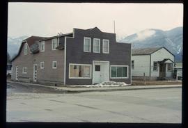
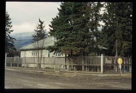
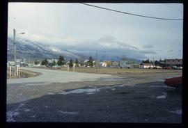
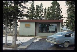
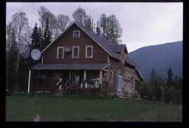
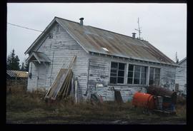
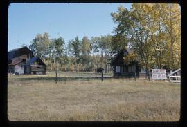
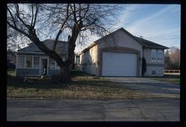
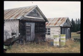
Image depicts an old house somewhere in McBride, B.C.
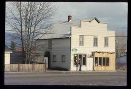
Image depicts a machine shop somewhere in McBride, B.C. The sign above the door reads "McBride Air Cooled Engine Services Ltd."
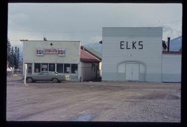
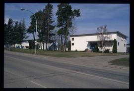
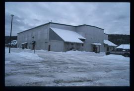
Image depicts the Elks Hall in McBride, B.C.
File contains slides depicting places along the east line of the BC Railway.
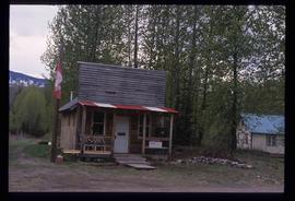
Image depicts the post office in Penny, B.C.
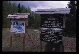
Image depicts two signs for hiking trails in Penny, B.C. One reads: "Hiking trail to Red Mt. Lake (Grizzly Bear Mt.) expect to meet wild animals."
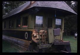
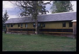
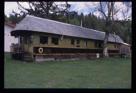
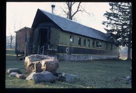
Image depicts a house made from a rail car in an uncertain location. It could be in Hixon, Red Rock, or Woodpecker, B.C.
The item is a photograph that depicts three veteran houses on Burden Street. Houses include beige siding, beige stucco and a white siding house.
The item is a photograph that depicts the back of veteran housing at 510 Douglas Street. House is on the south east corner. Beige stucco house with brown roof.
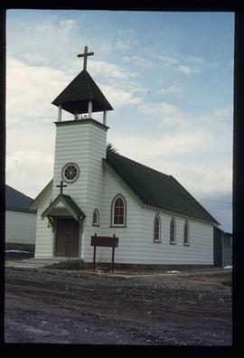
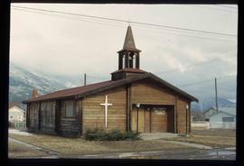
Image depicts a church somewhere in McBride, B.C. The sign in front possibly reads "St. Patrick's Church."
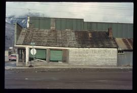
Image depicts an abandoned building on the corner of a street in McBride, B.C. The faded letters on the side read: "McBride Trading Co. Mens Wear, Drugs, Equipment."
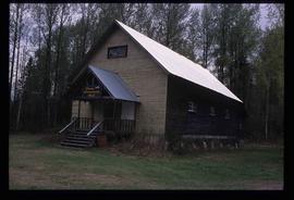
Image depicts the community hall in Penny, B.C.
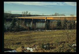
Image depicts the new Hansard Bridge. Map coordinates 54°04'57.9"N 121°51'10.1"W
Image depicts the new Hansard Bridge. Map coordinates 54°04'57.9"N 121°51'10.1"W
File contains slides depicting images of places in or around Red Rock, Hixon, and Woodpecker, B.C.
Image depicts a house made from a rail car in an uncertain location. It could be in Hixon, Red Rock, or Woodpecker, B.C.
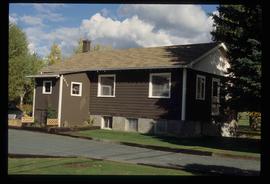
Image depicts a house somewhere in McBride, B.C.
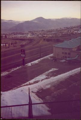
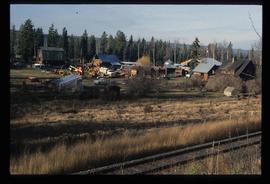
Image depicts McBride, B.C.
Image depicts the McBride District Centennial Library.
Image depicts a house with torn-up siding. The slide is labelled: "Mellos house relocated from Penny." The location is uncertain.
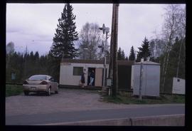
Image depicts two unidentified individuals speaking to each other in the doorway of what appears to be a mobile home. The location is uncertain.
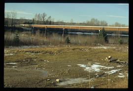
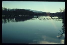
Image depicts the Hansard railroad bridge taken from the new Hansard vehicle bridge. Map coordinates 54°04'58.1"N 121°50'58.0"W
Image depicts a house made from a rail car in an uncertain location. It could be in Hixon, Red Rock, or Woodpecker, B.C.
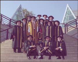
Photograph taken in front of the 'icebergs' at the University of Northern British Columbia in Prince George, B.C. Campagnolo stands in middle row, third from right.
Card accompanying photograph reads: “UNBC’s 10th Anniversary, 08/17/04, With the compliments of Charles J. Jago, President and Vice-Chancellor”.
File consists of clippings, notes, and reproductions relating to City Hall in Prince George. Includes various clipped articles from the Prince George Citizen newspaper; "Prince George City Hall through the years" promotional card (1992); and "Heritage plaques" typescript letter to George Paul, City Manager from Kent Sedgwick ( 13 June 1990). Also includes photographs depicting City Hall in Prince George (1980-2002).
The item is a photograph that depicts the front of veteran housing at 510 Douglas Street. House is on the south east corner. Beige stucco house with brown roof.
The item is a photograph that depicts the side of veteran housing at 510 Douglas Street. House is on the south east corner. Beige stucco house with brown roof.
The item is a photograph that depicts three veteran houses on Burden Street. Houses include beige siding, beige stucco and a white siding house.
File contains slides depicting places in and between McBride and the Yellowhead Pass via the Yellowhead Highway.
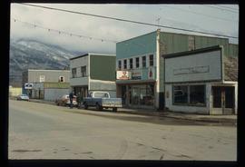
Image depicts a street in McBride, B.C. One of the store signs reads "Allied Hardware."
Image depicts the All Saints Anglican Church in McBride, B.C. The slide labels it as having "moved to PG."
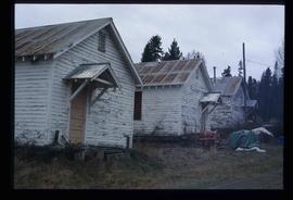
Image depicts a building in Red Rock.
Image depicts a building in Red Rock.
Image depicts Studio 2880 Arts Complex in Prince George, B.C. Map coordinates 53°54'36.9"N 122°46'30.3"W
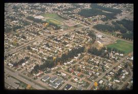
Image depicts a Lakewood view of Spruceland in Prince George, B.C.
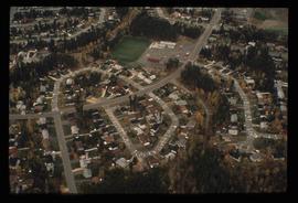
Image depicts College Heights, particularly along Gladstone Drive, in Prince George, B.C.
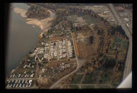
Image depicts a trailer park by either the Fraser or Nechako River in Prince George, B.C.
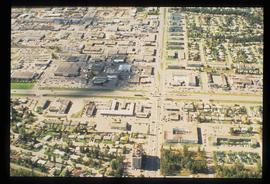
Image depicts the intersection of 15th Ave and Highway 97 in Prince George, B.C.
Image depicts a house somewhere in the South Fort George subdivision of Prince George, B.C.
Image depicts the Exhibition Sports Centre, which used to be a drill hall army base, on Keller Street in Prince George, B.C.
Image depicts a house made from a rail car in an uncertain location. It could be in Hixon, Red Rock, or Woodpecker, B.C.
Image depicts a farm likely in Woodpecker, B.C.
Image depicts a house, most likely on Thompson Drive in Prince George, B.C.
Image depicts the old Myatovic schools.
Image depicts the old Myatovic schools.
The item is a photograph depicting a plaque where the Kinney house was located at 2249 Queensway Street, South Fort George. The plaque contains a photograph of Fannie Kinney and her house as well as a write up describing the house's history.
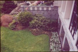
Photograph taken at terrace gardens, Government House in Victoria, B.C.
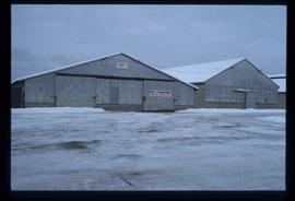
Image depicts a few storage sheds somewhere in Prince George, B.C.
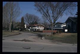
Image depicts a street of houses somewhere in Prince George, B.C.
