2012.13.3.1.55.5
·
Pièce
·
10 May 2006
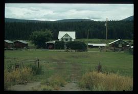
Fait partie de J. Kent Sedgwick fonds
The item is a photograph depicting the exterior of old damaged house on the Moffat farmland. There is a broken fence at the rear of the house, broken windows and a collapsed roof.