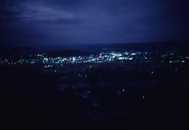
Image depicts Prince George at night from the cutbanks.
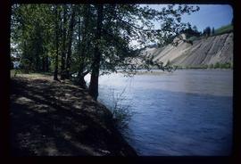
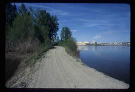
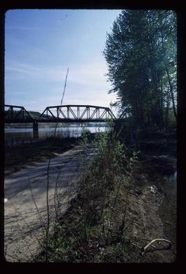
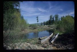
Image depicts the Nechako River on Cottonwood Island.
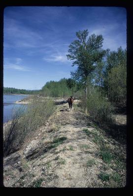
Image depicts a horse on Cottonwood Island.
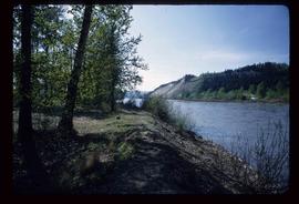
Image depicts the Nechako River from Cottonwood Island.
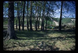
Image depicts a green car among some trees on Cottonwood Island.
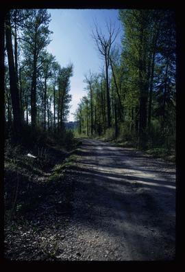
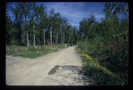
Image depicts a nature trail on Cottonwood Island.
Image depicts a nature trail on Cottonwood Island.
Image depicts a nature trail on Cottonwood Island.
Image depicts a nature trail on Cottonwood Island.
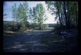
Image depicts Cottonwood Island.
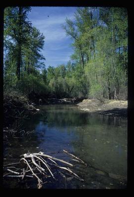
Image depicts a small stream somewhere on Cottonwood Island.
Image depicts a nature trail on Cottonwood Island.
Map depicts the proposed electoral districts of British Columbia, including: Burnaby, Capilano, Cariboo-Chilcotin, Comox-Powell River, Cowichan-Malahat-The Islands, Esquimalt-Saanich, Fort Nelson-Peace River, Fraser Valley East, Fraser Valley West, Kamloops-Shuswap, Kootenay East, Kootenay West, Mission-Port Moody, Nanaimo-Alberni, New Westminster-Coquitlam, North Vancouver-Burnaby, Okanagan North, Okanagan-Similkameen, Prince George-Bulkley Valley, Richmond-South Delta, Skeena, Surrey-White Rock-North Delta, Vancouver Centre, Vancouver East, Vancouver Kingsway, Vancouver Quadra, Vancouver South, and Victoria.
Map depicts the City of Prince George in 1976, including the Fraser River, Nechacko River, Cariboo Highway, Carney St., and Patricia Blvd. where the electoral district boundary was proposed along for the two districts of Fort Nelson-Peace River and Prince George-Bulkley Valley.
Promotional map of Prince George includes an annotated line drawn down the Nechako River, along Central st., 5th Avenue, Carney St., 15th Avenue, and Highway 16, which can be assumed to be the electoral district line. Annotations in pen note the electoral districts of "Fort Nelson-Peace River" and "Prince George-Bulkley Valley".
Map depicts British Columbia in its entirety as-well as smaller subsequent maps of Vancouver, Victoria and Vicinity, Prince George, Kamloops, Nelson, and Vancouver Island.
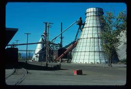
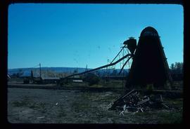
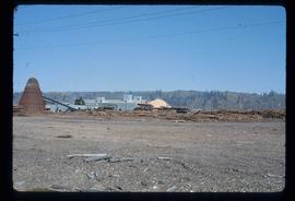
Image depicts a Beehive Burner along the Nechako on River Road. Map coordinates 53°55'34.1"N 122°44'58.0"W
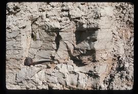
Image depicts an example of varves, an annual layer of sediment or rock, with a pipe used for reference size. It is possibly located at the airport in Prince George, B.C.
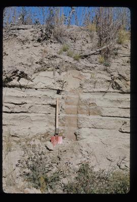
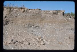
Image depicts sand beds with a shovel present for size reference. The slide places it at the "BCR site," possibly in Prince George, B.C.
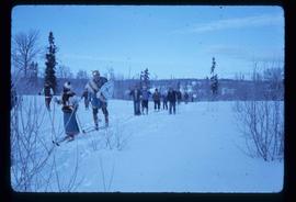
Image depicts numerous skiers on the Birchleg Ski route on Tabor Mountain in Prince George, B.C.
Image depicts numerous skiers cross-country skiing on a trail through trees on the Birchleg Ski route on Tabor Mountain in Prince George, B.C.
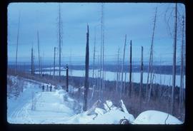
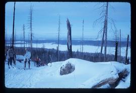
Image depicts a view of the area around Tabor Mountain in Prince George, B.C.
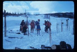
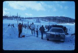
Image depicts numerous skiers and skis that are standing upright in in the snow on Tabor Mountain in Prince George, B.C.
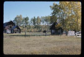
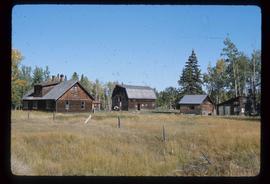
Image depicts the Pearson Homestead.
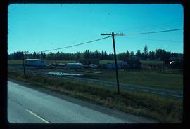
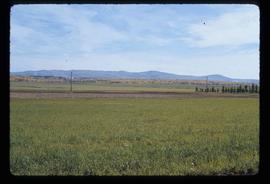
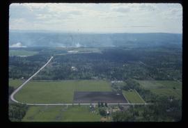
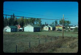
Image depicts a rural setting, most likely near the airport in Prince George, B.C.
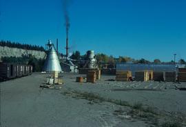
Image depicts a bee-hive burner beside a rail-road track at an unidentified mill somewhere in Prince George, B.C.
Large-format map depicts Northwood Pulp & Timber operating areas in 1975.
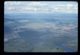
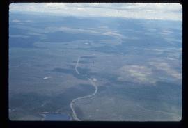
Image depicts an aerial view of areas that have been used for logging around Prince George, B.C.
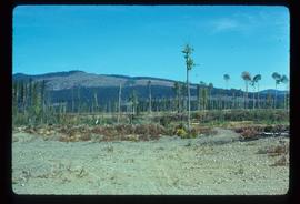
Image depicts a highway, and a section of mountain in the background which is bare due to clear-cut logging. It is possibly somewhere near Prince George, B.C.
Image depicts a logging area, and a section of mountain in the background which is bare due to clear-cut logging. The slide is also labelled "logging show." It is possibly somewhere near Prince George, B.C.
Image depicts a saw mill, possibly Lakeland Mills, with a beehive burner and numerous piles of logs in the foreground, in Prince George, B.C.
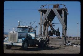
Image depicts a trailer for a logging truck suspended off the ground by a wooden structure. This is used to load the trailer onto the back of the truck. The name on the truck says "Rormarniewich Trucking Ltd."
Image depicts Tabor Mountain in the distance, located in Prince George, B.C.
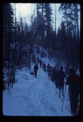
Image depicts a long line of people cross country skiing somewhere on Tabor Mountain in Prince George, B.C.
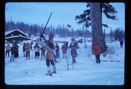
Image depicts a skier in a costume with a fake sword, somewhere on the Birchleg Ski route on Tabor Mountain in Prince George, B.C.
Image depicts the Pearson Homestead.
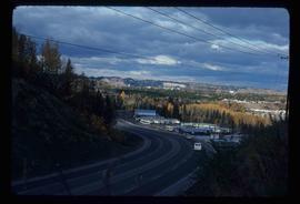
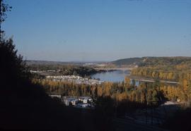
Image depicts a view of Peden Hill in Prince George, B.C.
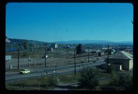
Image depicts the Canadian National Railway Yards in Prince George, B.C.
Image depicts Prince George from the view of Peden Hill.
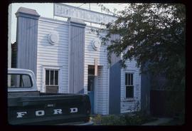
Image depicts an old building with a sign labelled "Northern Rooms" in an uncertain location somewhere in Prince George, B.C.
Image depicts Prince George near the Airport Road.
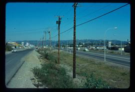
Image depicts Highway 97 at 15th Ave. looking north. Map coordinates 53°54'36.0"N 122°46'55.5"W
Image depicts the Canadian National Railway Yards in Prince George, B.C.
Image depicts a few houses, most likely near the airport in Prince George, B.C.
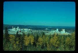
Image depicts two mills; the Intercontinental Pulpmill is on the left side of the tracks in the image and the Prince George Pulp and Paper Mill is located on the right side in Prince George, B.C. The Northwood Pulp Mill can be seen in the distance.
Image depicts an aerial view of the Ahbau area somewhere near Prince George, B.C.
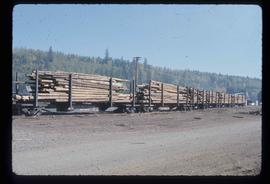
Image depicts a train carrying logs somewhere in Prince George, B.c.
Image depicts layers of gravel at the BCR site in Prince George, B.C.
Image depicts a view of the area around Tabor Mountain in Prince George, B.C.
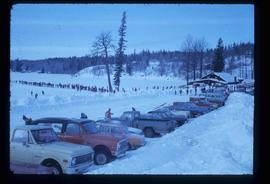
Image depicts a vehicle and a large group of skiers somewhere on Tabor Mountain in Prince George, B.C.
