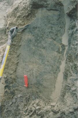
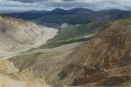
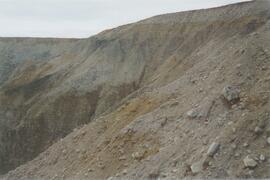
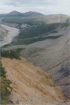
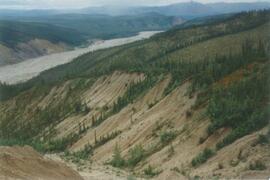
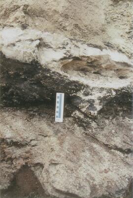
This file contains the following photographs in both print photograph and negative format:
Y04-31 (EW)
Date: July 23, 2004
Location Coordinates: 61º 3’ 9.2” N, 138º 21’ 30.3’ W, 837.2 m asl (± 6.4 m)
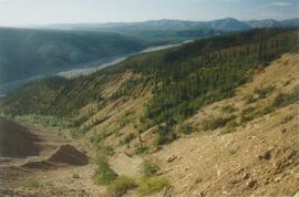
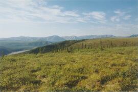
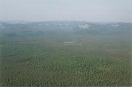
Site Description: crest of N-S esker ridge
Sample Depths & Descriptions: Y04-31-01: 0-10 cm
Print roll 13, #1-3
Corresponding slides: Slide roll 7, #12-11
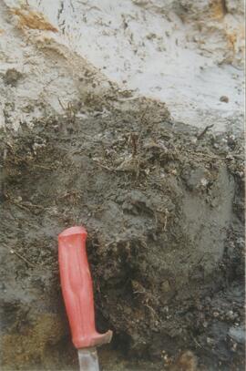
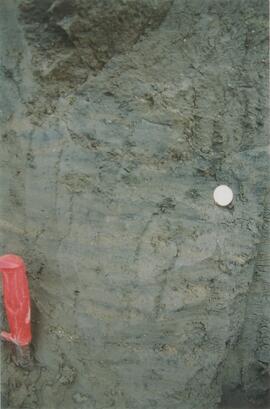
Y04-32
Date: July 23, 2004
Location Coordinates: 61º 3’ 7.4” N, 138º 21’ 27.7’ W, 823.7 m asl (± 13.7 m)
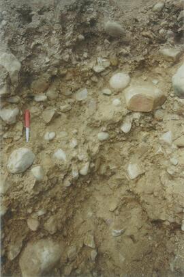
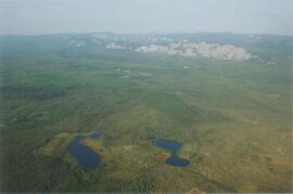
Site Description: toeslope on NE side of same ridge as for Y04-31; 20° slope, NE aspect; Cryosol with permafrost at 34 cm; 30 cm of forest floor organic horizons; abundant charred wood fragments at top of mineral soil & in lowest part of organic horizon.
Print roll 13, #4-5
Corresponding slides: Slide roll 7, #10-9
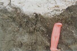
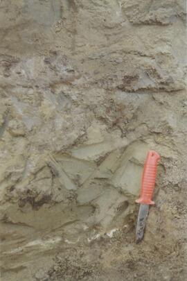
Y04-34
Date: July 23, 2004
Location Coordinates: 61º 3’ 47.7” N, 138º 21’ 2.5’ W, 838 m asl
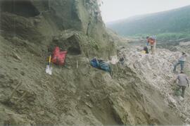
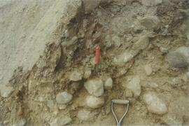
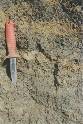
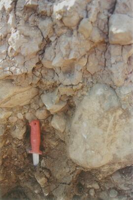
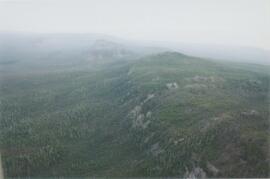
Site Description: Toe of 30º, W-facing grassland slope. Colluviated loess with White River tephra at 8-9 cm, brownish paleosol (9-35 cm), overlying sandy glaciofluvial at 35-70 cm+.
Sample Depths & Descriptions: Y04-34-01: charcoal at 34 cm
Print roll 13, #6-7
Corresponding slides: Slide roll 7, #8-7
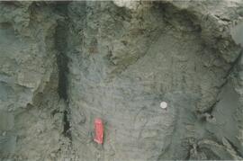
Y04-35 (EW)
Date: July 23, 2004
Location Coordinates: 61º 3’ 49.9” N, 138º 21’ 1.1” W, 854.4 m asl (± 6.3 m)
Sample Depths & Descriptions: Y04-35-01: 0 – 10 cm
Print roll 13, #8-10 (Location not recorded: Print roll 13, #11-12)
Corresponding slides: Slide roll 7, #6-5
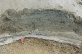
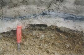
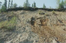
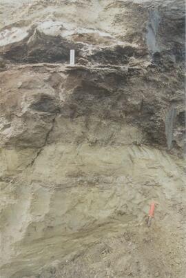
Y04-36
Date: July 23, 2004
Location Coordinates: 61º 8’ 11.5” N, 138º 25’ 50.8” W, 825.6 m asl (± 14.5 m)
Site Description:
- 10-0 cm - LF
- 0-15 cm - Bmk1 (7.5YR 4/6 m)
- 15-28 cm - Bmk2 (2.5Y 4/3 m)
- 28-48 cm - Ck
- 48-55 cm+ - IICk (sandy gravelly glaciofluvial)
- No charcoal visible in mineral horizons
Print roll 13, #13-14
Corresponding slides: Slide roll 7, #4-3
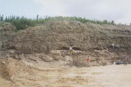
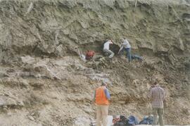
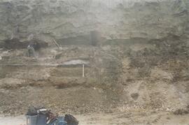
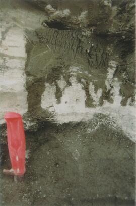
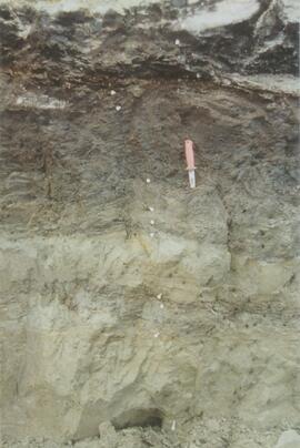
Y04-37
Date: July 23, 2004
Location Coordinates: (roadcut adjacent to Y04-36)
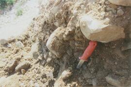
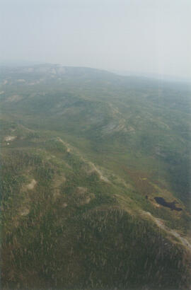
Site Description: multiple colour bands in Slims soil; some charcoal blobs (not sampled) which are right size to have been roots.
Print roll 13, #15-19
Corresponding slides: Slide roll 7, # 2-1