Mostrando 1164 resultados
Archival description
"Lake Babine Nation Community Health Issues and the Noranda-Bell Mine Closure"
"Lake Babine Nation Community Health Issues and the Noranda-Bell Mine Closure"
"Williston Reservoir Dust Control Feasibility Study Interim Report"
"Williston Reservoir Dust Control Feasibility Study Interim Report"
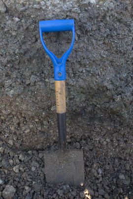
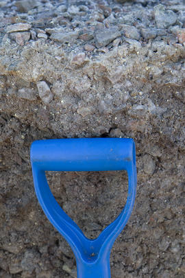
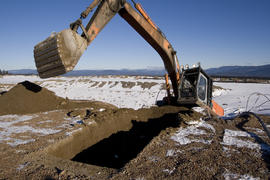
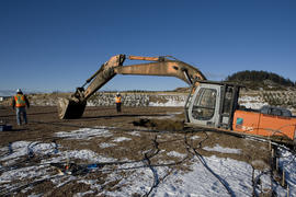
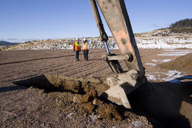
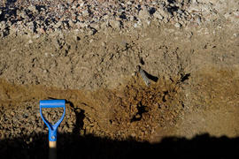
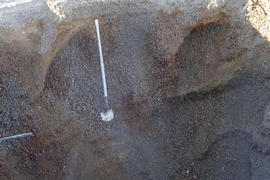
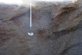
Sampling locations at Williston Reservoir
Sampling locations at Williston Reservoir
Research records in electronic format
Research records in electronic format

Research Electronic Records - Part 1
"Annual Reclamation Report for 2010: Thompson Creek Mining Ltd., Endako Mines, Reclamation Permit M-4"
"Annual Reclamation Report for 2010: Thompson Creek Mining Ltd., Endako Mines, Reclamation Permit M-4"
Aleza Lake, Klinka, Prince George, McGregor, UNBC, Prince Rupert, Great Bear
Aleza Lake, Klinka, Prince George, McGregor, UNBC, Prince Rupert, Great Bear
SBS research
SBS research
FSTY 205 in 1996
FSTY 205 in 1996
Williston Lake and Lake Babine
Williston Lake and Lake Babine
Giscome, Smithers, Purden, and LTSP
Giscome, Smithers, Purden, and LTSP
ESSF 96, SBS 95
ESSF 96, SBS 95
FSTY 205 in 1997
FSTY 205 in 1997
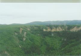
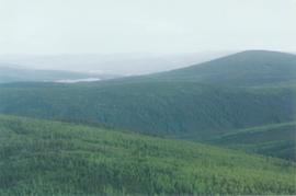
15 Mile R site aerial view - 01
15 Mile R site aerial view - 02
15 Mile R site aerial view - 08
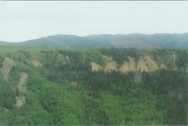
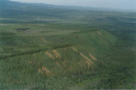
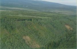
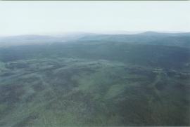
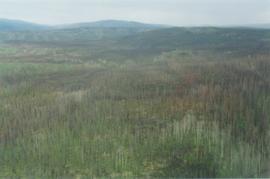
Aerial views (E 15 Mile to Rock Ck) - 05
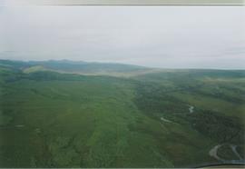
Aerial views (E 15 Mile to Rock Ck) - 10
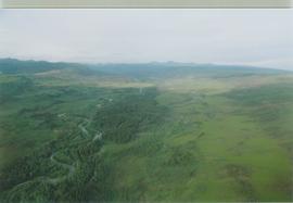
Aerial views (E 15 Mile to Rock Ck) - 11
2016.7.3.45.14
2016.7.3.45.21
2016.7.3.45.33
2016.7.3.45.34
2016.7.3.45.37

2016.7.3.45.38
2016.7.3.45.42
2016.7.3.45.45
2016.7.3.45.49
2016.7.3.45.50
2016.7.3.45.52
2016.7.3.45.63
2016.7.3.45.66
Posthumous Records
Posthumous Records
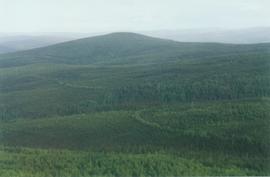
Aerial views (E 15 Mile to Rock Ck) - 14
Aerial views (E 15 Mile to Rock Ck) - 19
Aerial views (Rock Ck to Dawson) - 03
Aerial views (Rock Ck to Dawson) - 04
Aerial views (Rock Ck to Dawson) - 05
Alder clumps, limestone ridge, N Ogilvie Mts. - 02
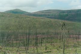
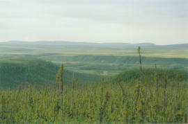
Burn N of Fox L - 04
Burn N of Fox L - 05
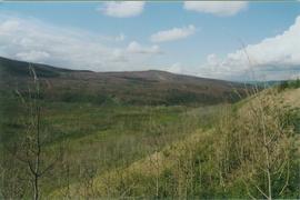
Burn N of Fox L - 07
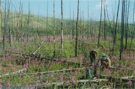
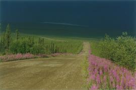
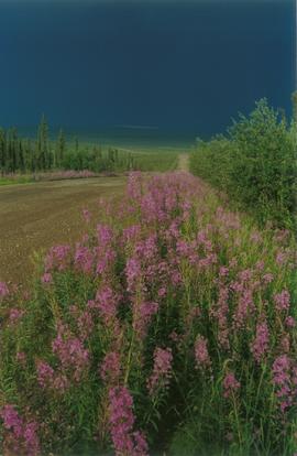
Burn near 15 Mile R
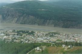
Dawson aerial view - 02
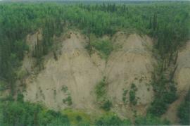
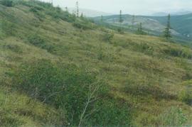
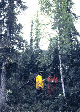
E 15 Mile site - ground level view - 03
Eagle Plains landscape, Dempster Hwy - 01
Eagle Plains landscape, Dempster Hwy - 02
Eagle Plains, Dempster Hwy km 365 - 02
Eagle R & Richardson Mts, Dempster Hwy - 01
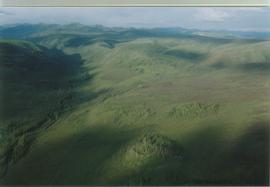
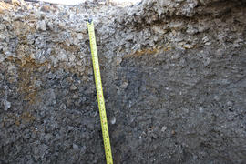
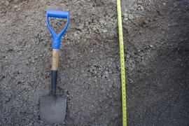
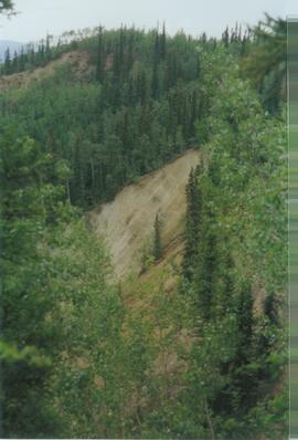
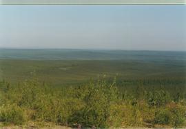
Intact forest above thaw slump