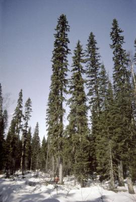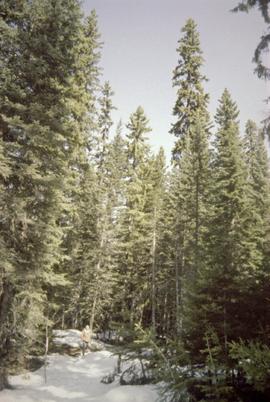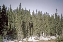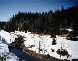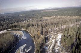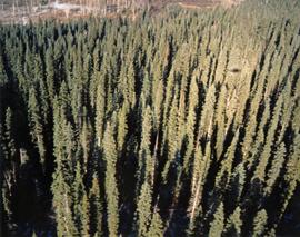
2007.1.30.2.084
·
Item
·
[July 1968]
Part of Aleza Lake Research Forest fonds
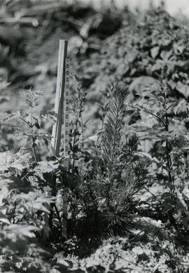
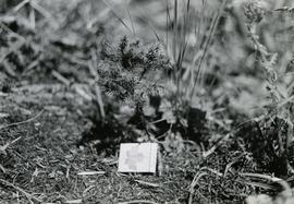
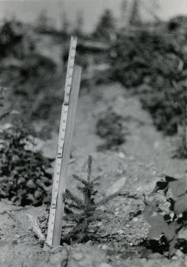
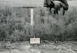
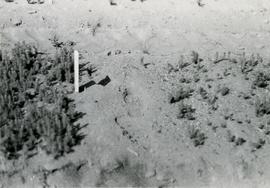
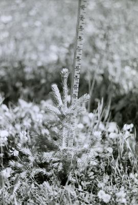
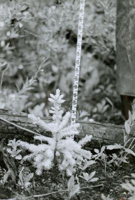
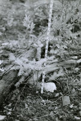
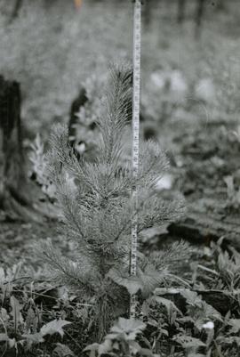
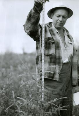
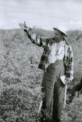
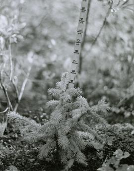
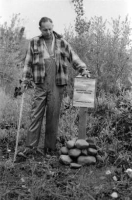
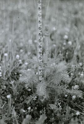
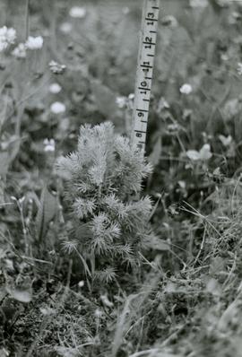
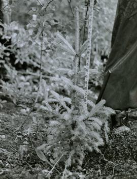
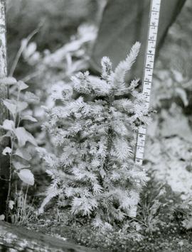
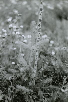
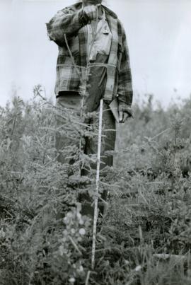
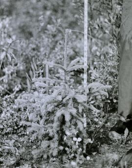
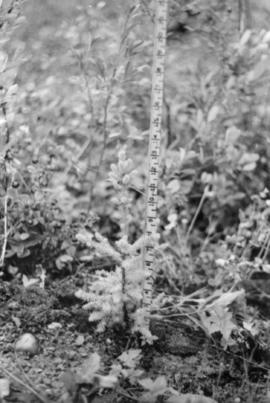
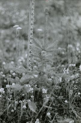
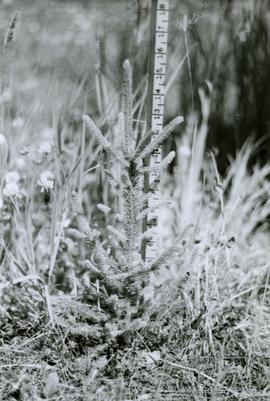
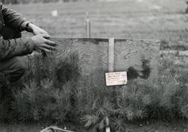
Caption describing photograph: "Top Pruning of 1 1/2 + 1 1/2 Lodgepole Pine at Red Rock Nursery. Block No. 3. Pruned to 8". Control."