2007.1.45.38
·
Bestanddeel
·
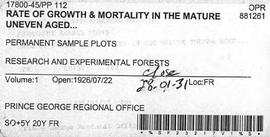
1926-1928
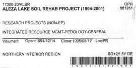
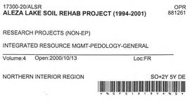
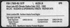
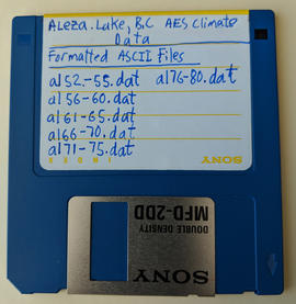
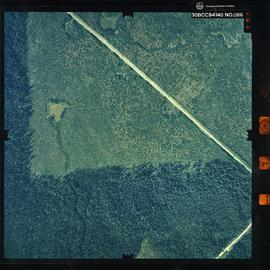
Part of Aleza Lake Research Forest fonds
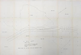
File contains photocopies of original study, loose handwritten ledger notes, and measurement charts relating to Plots 112 and 113.