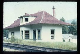
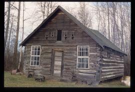
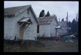
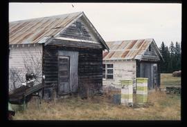
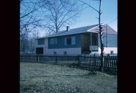
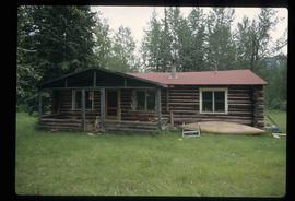
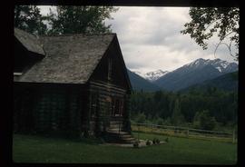
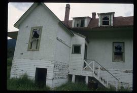
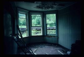
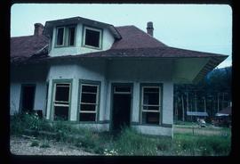
Image depicts City Hall in Prince George, B.C.
Image depicts an old Swedish style house somewhere in the Pineview subdivision in Prince George, B.C.
Image depicts a house somewhere in the South Fort George subdivision of Prince George, B.C.
Image depicts the Exhibition Sports Centre, which used to be a drill hall army base, on Keller Street in Prince George, B.C.
Image depicts the old Dunster Station in Dunster, B.C.
Image depicts the interior of the old Dunster Station in Dunster, B.C.
Image depicts the old Dunster Station in Dunster, B.C.
Image depicts a cabin at an unknown location.
Image depicts a fence, perhaps somewhere in the Chilcotin region.
Image depicts a swimming pool filled with debris in the interior of the Ginter House in Prince George, B.C.
Image depicts a Prince George residential area from the viewpoint of the Ginter Property.
Image depicts the Ginter Property in Prince George, B.C.
Image depicts what appears to be a part of a fence on the Ginter Property in Prince George, B.C.
Image depicts trains at the Grand Trunk Pacific railway roundhouse in Prince George, B.C.
Image depicts the Grand Trunk Pacific railway roundhouse in Prince George, B.C.
Image depicts the interior of the GTP roundhouse in Prince George, B.C.
Image depicts the old community hall in Woodpecker, B.C.
Image depicts St. Mark's Anglican Church in Woodpecker, B.C.
Image depicts the St. Mark's Anglican Church and a small house in Woodpecker, B.C.
Image depicts a house made from a rail car in an uncertain location. It could be in Hixon, Red Rock, or Woodpecker, B.C.
Image depicts a farm likely in Woodpecker, B.C.
Image depicts a house made from a rail car in an uncertain location. It could be in Hixon, Red Rock, or Woodpecker, B.C.
Image depicts an old, collapsing cabin at an uncertain location; possibly Woodpecker B.C.
Image depicts a house, most likely on Thompson Drive in Prince George, B.C.
Image depicts the old Myatovic schools.
Image depicts the rubble of a demolished house at Island Cache, with several other buildings in the background.
Image depicts a junk pile of bottles, cans and bags, as well as the gutted frame of an old car, at Island Cache.
Image depicts an area of cut trees at Island Cache.
Image depicts numerous houses, and an unknown child standing in a street at Island Cache.
Image depicts a house at Island Cache.
Image depicts a street in Island Cache.
Image depicts a few houses in Island Cache.
Image depicts a street in Island Cache.
Image depicts a wood pile in Island Cache.
Image depicts 1425 Taylor Drive in Prince George, B.C.
Image depicts houses on Dogwood Street in the Millar Addition neighbourhood of Prince George, B.C. On the left is 1610 Dogwood Street and 1630 Dogwood Street is the middle house; 1650 Dogwood Street is the blue house on the right.
Image depicts 411 Patricia Boulevard in Prince George, B.C.
Image depicts 1566 Ingledew Street in Prince George, B.C.
Image depicts Ash Street and Patricia Boulevard in Prince George, B.C.
File contains slides depicting the Mount Robson Ranch.
Image depicts the Mount Robson Ranch.