2012.13.1.6.245
·
Pièce
·
Oct. 1983
Fait partie de J. Kent Sedgwick fonds
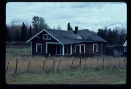
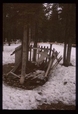
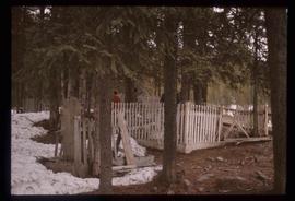
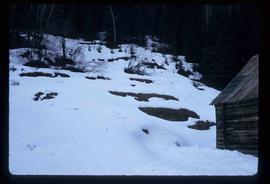
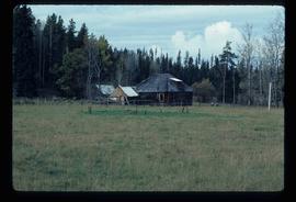
Image depicts an old log cabin in Salmon Valley.