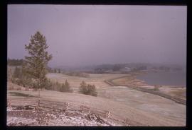
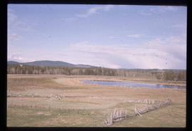
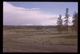
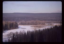
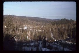
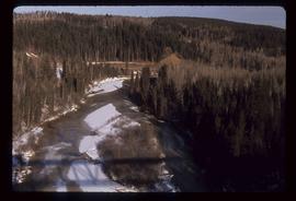
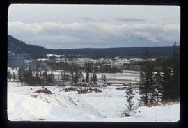
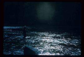
Showing 2440 results

Archival description
2097 results with digital objects Show results with digital objects
Soda Creek
2012.13.1.50.083 · Item · [1978?]
Part of J. Kent Sedgwick fonds

Image depicts a bridge at Soda Creek, B.C. There are numerous unknown individuals present.

Mine Site Equipment
2012.13.1.50.092 · Item · [1978?]
Part of J. Kent Sedgwick fonds

Image depicts what appears to be a junkyard for old mining equipment at an uncertain location, though possibly near Gibraltar.

Open Pit
2012.13.1.50.093 · Item · [1978?]
Part of J. Kent Sedgwick fonds

Image depicts an open mining pit at an uncertain location; it is possibly Gibraltar.

Farm?
2012.13.1.50.111 · Item · 1980
Part of J. Kent Sedgwick fonds

Image depicts what appears to be a farm at an uncertain location.

Slump?
2012.13.1.50.116 · Item · 1980
Part of J. Kent Sedgwick fonds

Image depicts an unknown individual standing near what is most likely a slump slide at an uncertain location.

Disturbed Ground
2012.13.1.50.117 · Item · 1980
Part of J. Kent Sedgwick fonds

Image depicts an area of disturbed ground, most likely due to a landslide, at an unknown location.

Slump?
2012.13.1.50.118 · Item · 1980
Part of J. Kent Sedgwick fonds

Image depicts two unknown individuals standing near what is most likely a slump slide at an uncertain location.

Disturbed Ground
2012.13.1.50.119 · Item · 1980
Part of J. Kent Sedgwick fonds

Image depicts an area of disturbed ground, most likely due to a landslide, at an unknown location.

Chasm Wall
2012.13.1.50.127 · Item · 1981
Part of J. Kent Sedgwick fonds

Image depicts the wall of a chasm full of trees at an unknown location.

Chasm
2012.13.1.50.128 · Item · 1981
Part of J. Kent Sedgwick fonds

Image depicts a chasm full of trees at an unknown location.

Dunlevy Creek?
2012.13.1.50.137 · Item · 2006
Part of J. Kent Sedgwick fonds

Image depicts the Dunlevy Creek area somewhere near Dawson Creek, B.C. The slide is simply labelled "Dunlevy irrigation" for uncertain reasons.

Dunlevy Creek?
2012.13.1.50.138 · Item · 2006
Part of J. Kent Sedgwick fonds

Image depicts the Dunlevy Creek area somewhere near Dawson Creek, B.C. The slide is simply labelled "Dunlevy irrigation" for uncertain reasons.

Soda Creek
2012.13.1.50.139 · Item · 2006
Part of J. Kent Sedgwick fonds

Image depicts rail road tracks through a forest, as well as a river; located in Soda Creek, B.C.

Old Mill?
2012.13.1.50.157 · Item · [1982?]
Part of J. Kent Sedgwick fonds

Image depicts what appears to be an old mill at an unknown location.