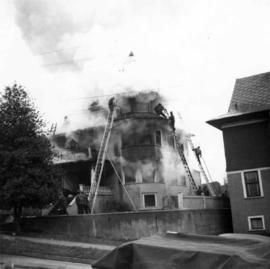
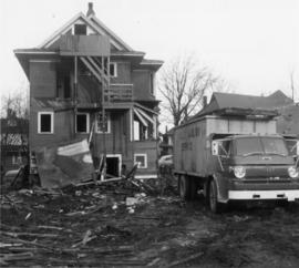
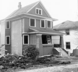
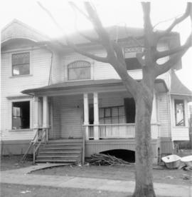
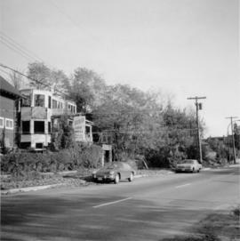
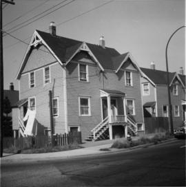
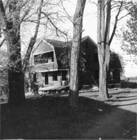
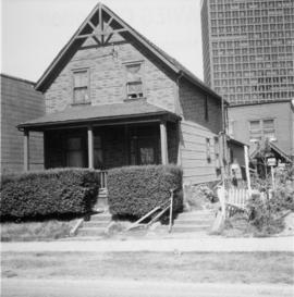
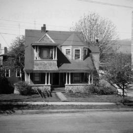
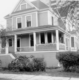
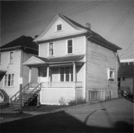
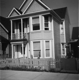
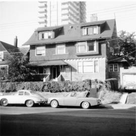
Photograph depicts a house fire on 1000 Beach Block and Thurlow St. on December 18, 1964. A wrecking gang accidently set fire to the house and it took one hour to get the fire under control.
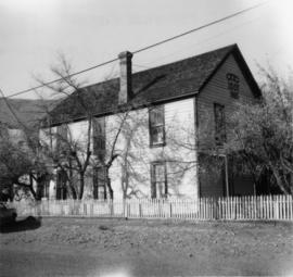
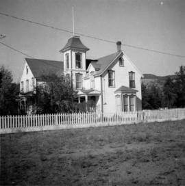
Photograph depicts an Independent Order of Foresters 1895 house.
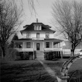
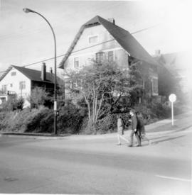
Photograph depicts a house on Ladner Trunk Rd. in Delta, B.C. It is in the northeast corner of an intersection with the road leading to the Canadian Army Signal Station.
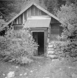
Photograph depicts the Moha "ghost" vilage, 20 miles west of Lillooet, at the fork of Bridge and Yalako Rivers. It used to be a gold mining village. About 8 houses/cabins were left standing, but none were occupied. Displayed is one that had 2 ft. thick walss to waist height, as shown.
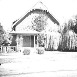
Photograph depicts the house opposite an 1876 church in Nicola village, 7 miles northeast of Merritt. It may be the manse.
Photograph depicts a house on 10th Ave., Vancouver.
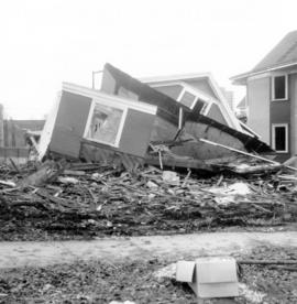
Photograph depicts a house that had been pushed on its side by a bulldozer.
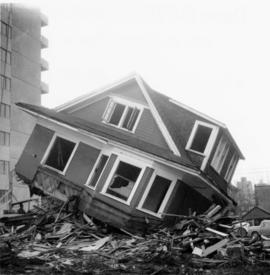
Photograph depicts a house that at the moment was being pushed up on its side by a bulldozer.
Photograph depicts one of the four houses on the corner of Barclay and Nicola. It was being demolished to make way for high rise apartments.
Photograph depicts a house being gutted, prior to demolition.
Photograph depicts one of four houses that were being gutted and demolished to make way for a concrete high rise apartment block. Built circa 1905.
Photograph depicts a house that had a "sold" notice on it and was partly demolished. Up to the date the photograph was captured, this block on Beach Ave. was the sole remaining one to have only houses on it, as opposed to a mixture of houses and apartment blocks, or blocks only.
Photograph depicts a house on the southern edge of Chinatown.
Photograph depicts a house that was probably built in 1890-1900. It had just been demolished.
Photograph depicts one of the few remaining inhabioted and well kept houses that still survived in the very heart of downtown Vancouver.
Photograph depicts a house on Nicola St. at the southwest corner of the intersection of Nicola and Robson St., in Vancouver, B.C.
Photograph depicts a well cared for house that was empty and being stripped along with 3 other house on Barclay to make way for a high rise apartment block. Built circa 1905.
Photograph depicts a house on the east side of Ontario Street, Vancouver.
Photograph depicts a house that had just been repainted on the north side of Pender Street.
Photograph depicts a house that provided an example of the few surviving homes left on Beach Ave.
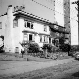
Photograph taken looking northwest at a corner house and another home to its left. They were 2 of 9 houses in this Beach Block, the last block of houses on Beach Ave.
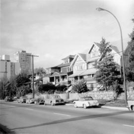
Photograph depicts a few houses on Beach Ave., Vancouve. They were examples of about a dozen surviving homes on Beach Ave.
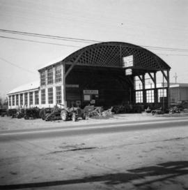
Photograph depicts an implement shed at Cloverdale in the Fraser Valley on the Pacific Highway.
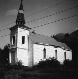
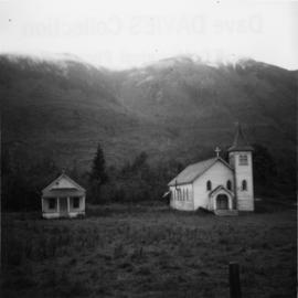
Photograph depicts an Indian Roman Catholic church at the mouth of Anderson Lake. No services were held anymore. It was externally restored in 1968 by the white people of the village, while the Natives did the interior. Unfortunatley, there was no work done on the interior as of the date the photograph was captured.
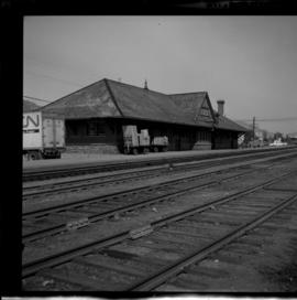
Photograph depicts the joint CPR and CN depot at Vernon. The depot office had three employees working inside. Vernon is at mile 46.2 from Sicamous, on the Okanagan Subdivision of the CPR. It has daily way freight.
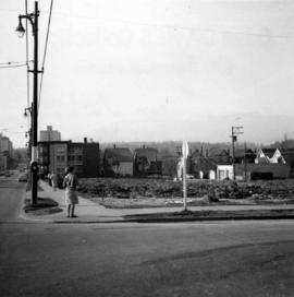
Photograph depicts the junction of Robson and Cordero St. in west end Vancouver, B.C. The photo is looking northwest on the newly demolished block, except for some houses at far end. View is looking down Robson St., with Cordero St. intersecting the photo.
Photograph depicts Kach Indian church.
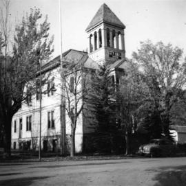
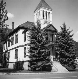
Photograph depicts the Kaslo city hall built in 1898.
Photograph depicts the Kaslo City Hall, built in 1898. The first floor contained a library while the second floor held a coutroom with original furnishings in mild disarray.
Photograph depicts Koksilah depot of the Esquimalt and Nanaimo Railway on Vancouver Island. It is 2 miles south of Duncan and the view is looking north.
Photograph depicts a large house that was actually the Sunset Beach Lodge. The western end of the block was being demolished. Image captured the last complete block of houses on Beach Ave.
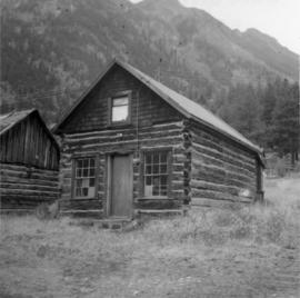
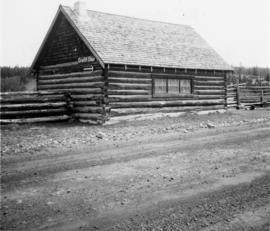
Photograph depicts a log cabin that was inhabited by an older aboriginal man who is visible in the window. The cabin was perhaps 100 years old.
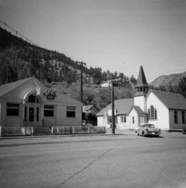
Photograph depicts a liquor store and church on Main St. in Lillooet, B.C.
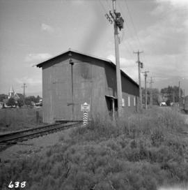
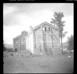
Photograph depicts a locomotive shed at Chilliwack. Note the electric conductor wire guard at the point where the doors meet at their tops.
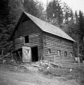
Photograph depicts a log barn at Lookout Lodge beside Shuswap Lake, between Sorrento and Squilex.
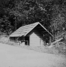
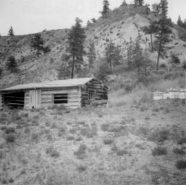
Photograph depicts a derelict but genuine log cabin beside the lower Arrow Lake near Fauquier, B.C.
Photograph depicts a log cabin in the KlinaKlina Valley.
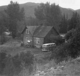
Photograph depicts a two story log house located on Fiva Creek, beside east Kettle River.
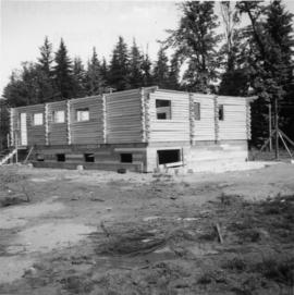
Photograph depicts a new log house that was under construction.
Photograph depicts a log cabin with a sod roof that was used as a cow shelter on Dot Ranch. The ranch was probably built by pioneers pior to 1900.
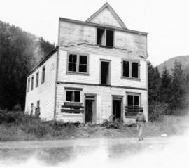
Photograph taken in the ghost town of Ferguson. About 8 deserted buildings remained, of which two appeared to be used as summer cabins. This building was the Lardeau Hotel.
Photograph depicts all that remained of Lumberton Spruce Mills Ltd, circa 1912-1939.
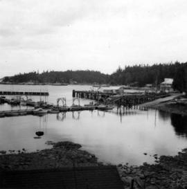
Photograph depicts Lund Harbour, looking north, 12 miles north of Powell River. It is the most northerly point on the mainland accessible by car, on this part of the coast. Lund is 92 car miles north of the ferry terminal at Langdale.
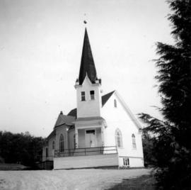
Photograph depicts a Lutheran Church on River Rd. in north Surrey, opposite from Annacis Island.
Photograph depicts Mainland St. in Vancouver, B.C. , looking northeast with Helmken St. intersecting.
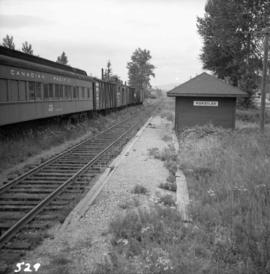
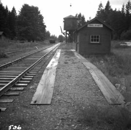
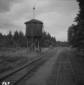
Photograph depicts the Malahat station on the Esquimalt and Nanaimo Railway line, 20 miles north of Victoria on Vancouver Island. The view is looking south and there are no houses anywhere in the vicinity.
Photograph depicts the Malahat Station on the Esquimalt and Nanaimo Railway on Vancouver Island. The view is looking south towards Victoria.
Photograph depicts the McCulloch CPR depot located at mile 76.7 on the Carmi Subdivision, which is about 27 miles northeast of Penticton. The rear building is the passenger depot, which was painted blue inside. The view is looking north.
Photograph depicts the McCulloch CPR depot located at mile 76.7 on the Carmi Subdivision, which is about 27 miles northeast of Penticton. The building on the right is the passenger depot, which was last officially used in January 1964. The view is looking south on the downgrade.
Photograph depicts the McCulloch CPR depot at mile 76.6 on the Carmi Subdivision. The depot was painted blue inside. The last passenger train was seen 17 January 1964 and the last freight train on the 19 May 1973.
