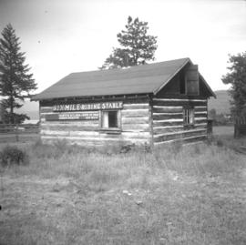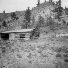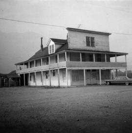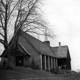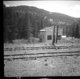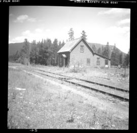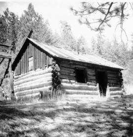
2013.6.36.1.078.11
·
Pièce
·
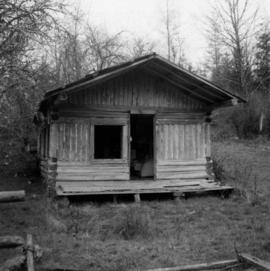
Aug. 1969
Fait partie de David Davies Railway Collection
Photograph depicts a deserted cabin on the Indian Reserve above the PGE track at the northwest corner of Seton Lake. It probably had been occupied up until the last 5 years.