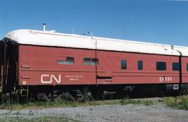
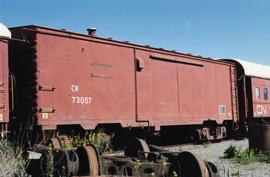
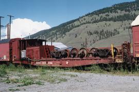
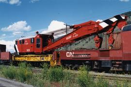
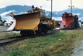
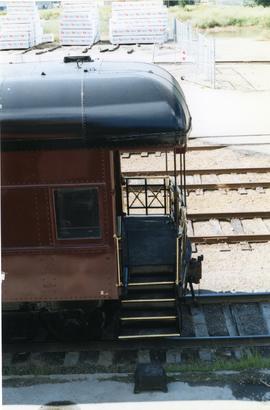
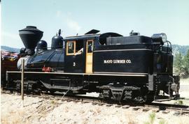
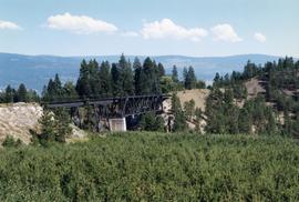
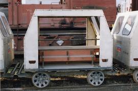
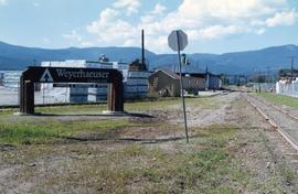
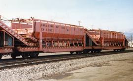
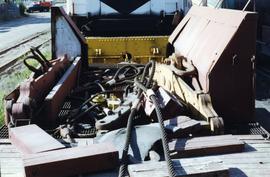
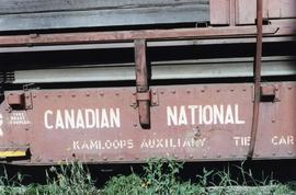
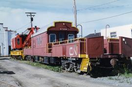
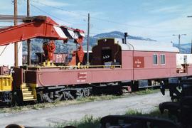
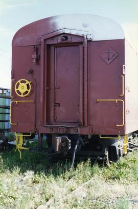
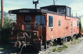
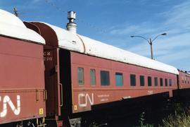
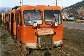
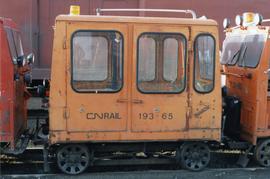
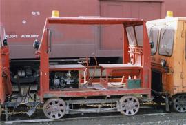
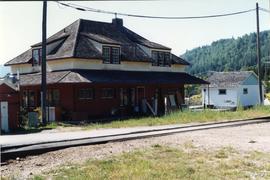
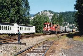
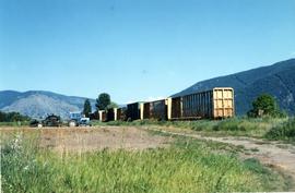
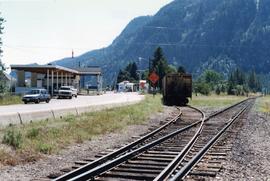
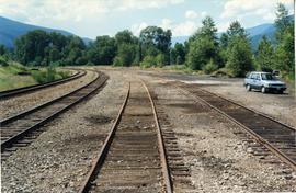
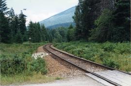
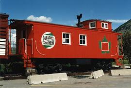
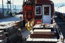
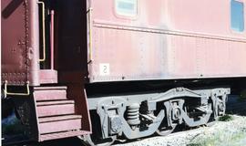
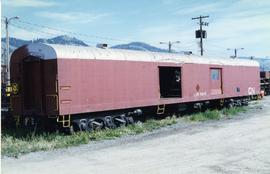
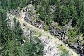
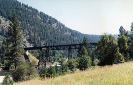
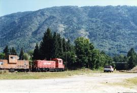
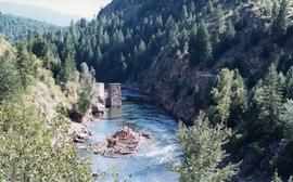
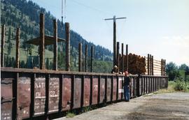
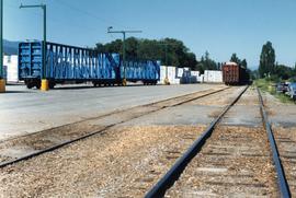
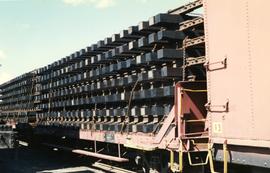
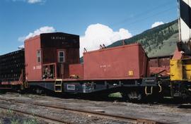
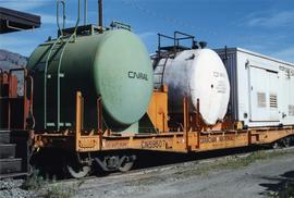
Photograph depicts CN module cars carrying cargo.
Photograph depicts a "Kamloops Auxiliary Dining Car."
Photograph depicts CN car #73057.
Photograph depicts CN car #59350.
Photograph depicts CN crane #5039.
Photograph depicts CPR snow equipment.
Photograph depicts the rear end of the car labelled "Mount Stephen."
Photograph depicts a locomotive belonging to the Kettle Valley Railway Heritage Society in Summerland.
Photograph depicts Trout Creek Bridge of the KVR.
Photograph depicts a CN rail car for disposal. It was one of about 40 track repair vehicles uo for sale. Able to carry 6 men and was pulled by a motor track trolley. Made by Rail Car Canada.
Photograph taken on the CPR branch from Vernon to Lumby. Depicts loading poles at Gorman Bros Ltd.
Photograph taken on the CPR branch from Vernon to Lumby. Depicts a small Weyerhaeuser sawmill. Looking west at Lumby. The end of the track was another 1/3 of a mile behind the camera.
Photograph taken on the CPR branch from Vernon to Lumby. Depicts a mill just west of Lumby (Possibly Lavington Planer Mills or Riverside Forest Mill). Daily way freights by CN and CP.
Photograph depicts part of a ballast removal and cleaning special train at the CN Kamloops Junction.
Photograph taken at the Paulson Highway Bridge.
Photograph depicts the switcher in Grand Forks. When CPR abandoned this city on KYR, there was a need for local switching to BN branch line, so a private company was created. 10 of these switchers were built in 1950/51 for the CPR. This particular locomotive retured in 1989 and was sold to GFR in 1993.
Photograph depicts a Canadian Pacific caboose in Fort Steele.
Photograph depicts deck details of an idle car. A small cabin was behind the camera. Side bins appeared to be tender remnants.
Photograph depicts sample lettering that read "Canadian National Kamloops Auxiliary."
Photograph depicts a spare crane and an idler car.
Photograph depicts the end view of a cable/hose car.
Photograph depicts CN caboose #77018.
Photograph depicts a CN bunk car labelled "Kamloops Auxiliary Capmens Bunk."
Photograph depicts a CN car carrying logs.
Photograph depicts a CN Kamloops Auxiliary car carrying logs.
Photograph depicts one of the two snow plows that had arrived in January from the northbend and stayed until May. CPR # 401035 built in 1952. It was the 6th last snow plow built for the CPR (majority were built in 1920's).
Photograph taken at the temporary upper terminus at the Prairie Valley station (near the Rodeo Grounds). The tourist train originally started with 4 kilometers of track, but in September 1996, it increased to 10 kilometers by continuing past Summerland to the Rodeo Grounds. Turn-around siding was also installed beyond the new terminus. The first train went over the new track on August 22, 1996. Summerland was down grade to the right of the photo.
Photograph depicts a CN track speeder for "advance of train" patrol to detect rock falls/snow slides or for inspection trips by supervisors.
Photograph depicts a CN track trolley for disposal. Made by Fairmont Railway Motors Inc/Ltd.
Photograph depicts a CN rail car made by Fairmont Ralway Motor Inc/Ltd. It appeared to be a winter version of an earlier design.
Photograph depicts a CN track trolley that carried a 4 man crew or section gang. Made by Fairmont Railway Motors Inc/ Ltd and was for sale.
Photograph depicts the former CPR depot in Castlegar that was now a museum. Depot rebuilt in 1907.
Photograph depicts switcher #8106 that served the 3 mile branch to a pulp mill. The switcher pulled with heavy string of loaded cars from the mill. The trip was a caboose run. Locomotive built in 1958 as part of a batch of 31. 17 of them remained in 1997.
Photograph depicts a car standing on what was once the Carson spur of the CPR (pre-1919 it was GNR). Car was switched by G.F. Railroad Co. locomotive #6703.
Photograph depicts the border crossing point, 12 miles east of Grand Forks. Taken on the Canadian side. Visible grain car lettered "BN." This branch line fromed a bi "U" with the bottom of it running for 15 miles in Canada, in the Grand Forks area. The line began east of Kettle Falls (hence Spokane) and concluded in the west at Republic.
Photograph depicts the CPR Nelson Subdivision in Procter. Passing siding rail dated 1954 as well as 1923. All Algoma Steel. The two spurs to the right usually only held work trains and ore rail of 1898-1914 vintage.
Photograph taken 20 miles east of Nelson at the Nelson Subdivision (Cranbrook to Nelson). The white substance near the track was a crude fill of some kind. Location was somewhere between Procter and Harrop.
Photograph depicts a Canadian Nrothern caboose on display at an Esso Kamloops
Photograph depicts deck details, looking towards the cabin. Taken from the crane deck.
Photograph depicts sample lettering that read "CN Kamloops Auxiliary Dining Car."
Photograph depicts a cable/hose car (work car) that was not part of the Kamloops Auxiliary.
Photograph depicts Kamloops Auxiliary car #3. CN #54960 visible on the repair track after its roof renovation was completed.
Photograph depicts a CN bunk car.
Photograph depicts a 3 car train that was ridden by the President of the CPR. Nelson was celebrating its centennial as a municipality and had invited him as an honoured guest. The 3 car train consisted of a sleeper-"Killanney," built in 1916, a Diner-"Assiniboine," built in 1929, and a parlor/observation car-"Mount Stephen," built in 1926.
Photograph taken at the Paulson Highway Bridge. KVR track visible on a former Boundary Subdivision between Castlgar and Grand Forks.
Photograph taken at the Kettle River Bridge on the former Boundary Subdivision about 12 miles due east of Grand Forks. Visible is a deck truss and dock plate girder spans that were believed to have originally a covered bridge.
Photograph depicts a caboose that was formerly part of KVR and was on its way to Grand Forks. It now only went 3 miles to the Canadian Cellulose pulp mill in Kraft.
Photograph taken in Grand Forks. Between 1900 and 1919, the Granby copper smelter operated on the northern outskirts of the city. Ore was brought to it by CPR and GN lines. Originally had wood coverd deck trusses, but they were later upgraded to steel. All was removed in the 1920's.
Photograph depicts a road widening that exposed a concrete rail over/road under a bridge that was originally part of an embankment. Portals were dated 1912 (this side) and 1913 (other side). It was believed that the gap was originally spanned by a wood trestle and then upgraded for an opening of the KVR to the west.