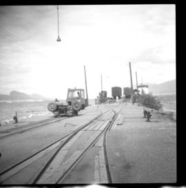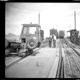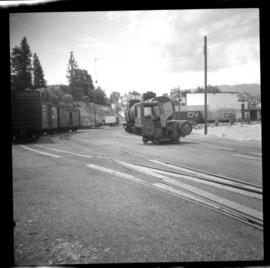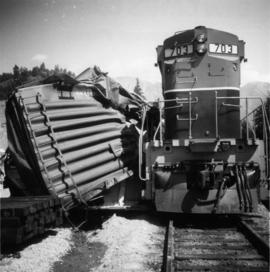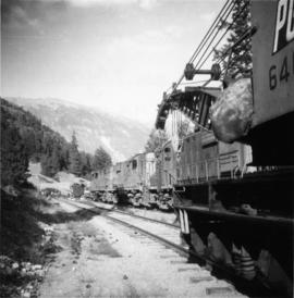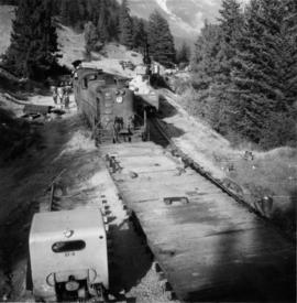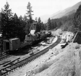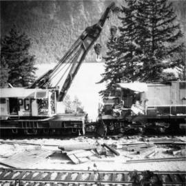
2013.6.36.1.022.02
·
Item
·
[22 July 1968]
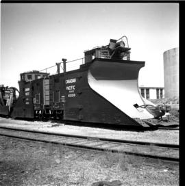
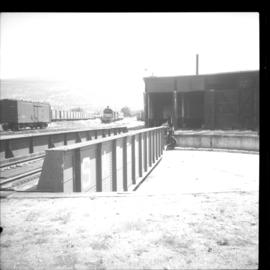
Part of David Davies Railway Collection
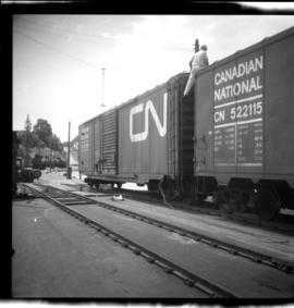
Photograph depicts a CNR slip in Penticton on Okanagan Lake. The first two cars are being removed from a barge. There is a gas driven winch on the after port of the barge. A cable is taken around a pulley (white in the middle ground) and then attached to the frame of the 1st car- as shown in this photo. This gets the cars moving and gravity plus the brakes does the rest.