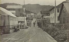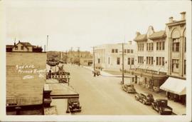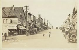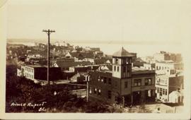
2011.3.3.102
·
Item
·
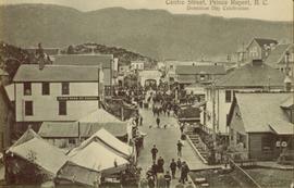
[ca. 1909-1930]
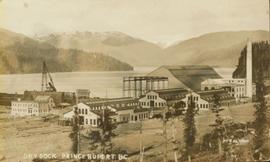
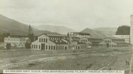
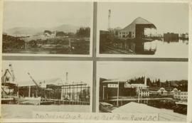
Part of North Coast & Central BC Postcard Collection
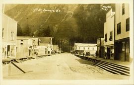
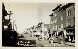
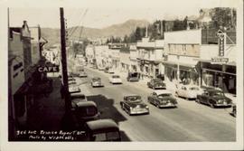
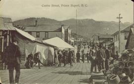
Street view of a crowd of men milling around on Centre Street in Prince Rupert, BC. Printed annotation on recto reads: "Centre Street, Prince Rupert, B.C."