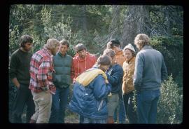
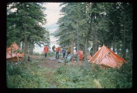
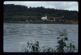
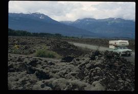
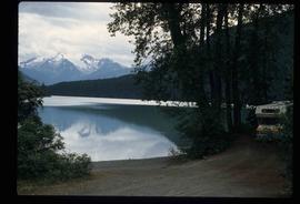
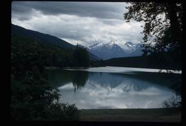
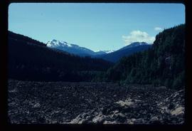
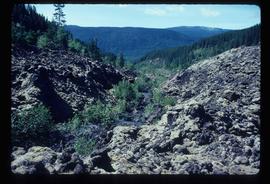
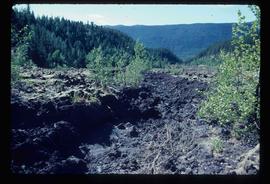
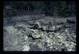
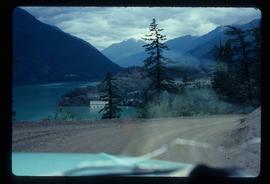
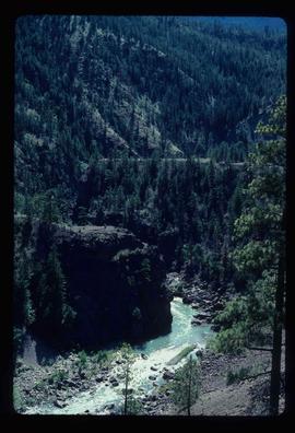
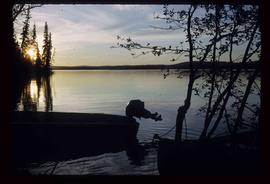
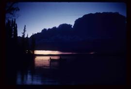
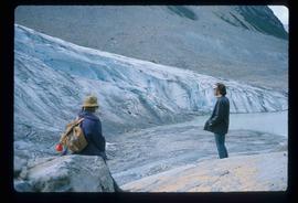
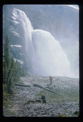
Image depicts two unknown individuals standing near a waterfall somewhere near Mt. Robson.
Image depicts a group of people standing on the foot of a glacier, possibly the Robson Glacier.
Image depicts a group of people hiking on a glacier, possibly the Robson Glacier.
Image depicts three unknown individuals at a campsite.
Image depicts a campsite somewhere near Berg Lake.
Image depicts an unknown individual crouching by a lake somewhere near Mt. Robson.
Image depicts a view of Mt. Robson Provincial Park.
Image depicts Kent Sedgwick smoking a pipe at camp, with two other unknown individuals nearby.
Image depicts Kent Sedgwick pointing out what is possibly the Robson Glacier in the background. Another, unknown individual is also present in the image.
Image depicts a group of hikers hiking up a slope.
Image depicts an unknown individual climbing the side of a large boulder.
Image depicts a group of hikers somewhere in Mt. Robson Provincial Park.
Image depicts two unknown individuals standing by a glacier somewhere in Mt. Robson Provincial Park.
Image depicts group of people at a camp somewhere in Mt. Robson Provincial Park.
Image depicts a view of Old Aiyansh.
Image depicts the Tseax Lava Flow.
Image depicts what is possibly Melita Lake. The mountain in the background is possibly Tseax Cone, the volcano responsible for the existence of the Tseax lava flow.
Image depicts the Tseax Lava Flow.
Image depicts the Tseax Lava Flow, with mountains in the distance.
Image depicts the Tseax Lava Flow.
Image depicts the north aspect of Oscar Peak overlooking Lava Lake in the Nass Valley.
Image depicts a stream running through the Tseax lava flow.
Image depicts numerous individuals standing near the Ranch house and McLean Cabin on the historic Hat Creek Ranch site north of Ashcroft, B.C.
Image depicts several individuals sitting on the front porch of the Ranch house on the historic Hat Creek Ranch site north of Ashcroft, B.C.
Image depicts the road leading to the historic Hat Creek Ranch site north of Ashcroft, B.C. Several individuals are sitting on the front porch of the Ranch house.
Image depicts a river on the left of the image and a range of mountains in the distance, located somewhere near Bralorne, B.C.
Image depicts a camper parked on the side of a narrow road along a cliff as another car approaches; located somewhere near Bralorne, B.C.
Image depicts a creek somewhere near Bralorne, B.C.
Image depicts a hotel in what appears to be a small community, possibly an outlying area of Bralorne, B.C.
Image depicts a row of houses in Bralorne, B.C.
Image depicts a green canoe sitting in the water on the shore of Carp Lake.
Image depicts two boats on the shore of Carp Lake.
Image depicts a low rain cloud over Carp Lake, and a man on a boat on the lake.
Image depicts Carp Lake at dusk.
Image depicts light from an unidentified light-source shining on a long, vertical object of an uncertain nature, though it is possibly a tree. The rest of the image is too dark to make out.
Image depicts a woman on a boat, possibly on War Lake.
Image depicts a boat launch; it is possibly at War Lake in Carp Lake Provincial Park.
Image depicts a mountain range "east of Driftwood," possibly meaning the Driftwood Canyon Provincial Park east of Smithers, B.C.
Image depicts a lake viewed "south-east from lodge;" it is possibly Takla Lake.
Image depicts a view of Takla Lake, "looking south-east."
Image depicts a west-looking view of Trembleur Lake.
Image depicts Middle River by Trembleur Lake.
Image depicts a mountain and Takla Lake.
Image depicts a man standing in front of a helicopter; a waterfall is visible on the cliffs in the background. The slide itself is labelled "BC Parks Tour."
Image depicts a view of James Creek Valley.
Image depicts a view of the Herrick River in what is possibly McGregor Canyon; the slide is simply labelled "McG Canyon."
Image depicts a view of the Herrick River in what is possibly McGregor Canyon; the slide is simply labelled "McG above Canyon."