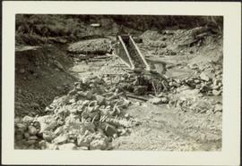
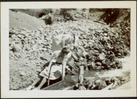
2000.1.1.3.15.02
·
Stuk
·
1954
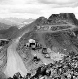
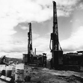
Part of Cassiar Asbestos Corporation Ltd. fonds
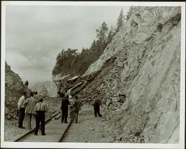
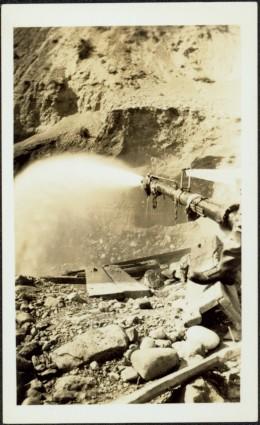
Photograph depicts a man and woman standing on what is believed to be an early mining bench. Two men with air track drill can be seen in background, one man father down on left, mountain range in background. Image slightly distorted due to poor quality of negative.