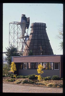
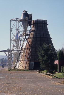
Image depicts a Beehive Burner along the Nechako on River Road. Map coordinates 53°55'34.1"N 122°44'58.0"W
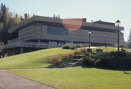
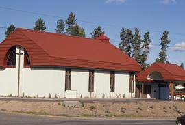
Image depicts the Prince George Public Library (Bob Harkins Branch). Map coordinates 53°54'44.6"N 122°45'01.7"W
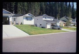
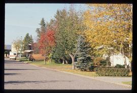
Image depicts a neighbourhood on North Meadows Road in Prince George, B.C.
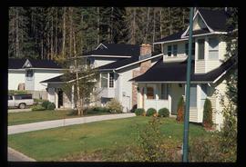
Image depicts a neighbourhood on North Meadows Road in Prince George, B.C.
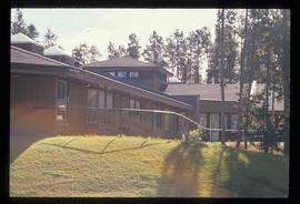
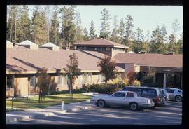
Image depicts Parkside Intermediate Care Home on Ospika Boulevard in Prince George. Map coordinates 53°55'02.6"N 122°47'41.6"W
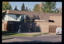
Image depicts the Fort George Regional Museum in Prince George, B.C. Map coordinates 53°54'18.6"N 122°44'09.8"W
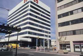
Image depicts 3rd Ave at Victoria St. Map coordinates 53°55'03.9"N 122°44'54.8"W
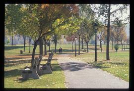
Image depicts the Fort George Par, which was renamed Lheidli T'enneh Memorial Park in 2015. Map coordinates 53°54'30.2"N 122°43'57.4"W
Image depicts the Salvation Army on Ospika Boulevard in Prince George, B.C. Map coordinates 53°55'02.6"N 122°47'41.6"W
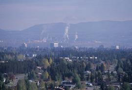
Image depicts a view of Prince George.
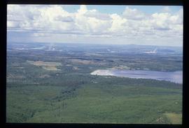
Image depicts a view of Tabor Lake.
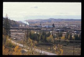
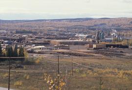
Image depicts the Lakeland Sawmill in Prince George, B.C, identified by the beehive burners; the one with white smoke belonged to Pas Lumber Co. which was bought out by Lakeland in 1987.
Image depicts the Lakeland Sawmill in Prince George, B.C.
File consists of newspaper clippings, notes, and reproductions relating to the history of various newspapers in Prince George. Also includes "Prince George This Week" newspaper article "New weekly makes debut" (13 Sept. 1989) and the 70 year anniversary edition of the Prince George Citizen newspaper (16 May 1986).
The item is a photograph depicting a crowd of people and reporters at the unveiling of the Arrival of Steel monument at 772 1st Avenue, Prince George.
The item is a photograph depicting the unveiling of the Arrival of Steel monument at 772 1st Avenue, Prince George. The focus is on the crowd surrounding the monument. The photograph is taken from across the street. Tilden Truck Rentals can be seen in the background.
The item is a photograph depicting the plaque on the Arrival of Steel monument at 772 1st Avenue, Prince George.
The item is a photograph depicting a snowy hill and trees in Prince George.
File contains slides depicting various places in the USA.
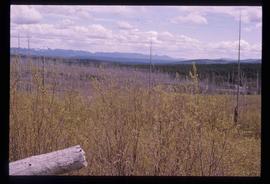
Image depicts a forest of dead trees on the slopes of Tabor Mountain in Prince George, B.C.
File consists of notes, reproductions, and letters relating to the street names in Prince George. Includes: "Canadian Permanent Committee on Geographical Names" typescript document; email from Ramona Rose to Kent Sedgwick (8 Dec. 2000); "Future entrance sign on Tyner Boulevard" typescript letter to Mr. Hamer from Ruth Iversen (10 Jan. 1995); "South Fort George gardens plan of subdivision" reproduced map depicting subdivision lots along the Fraser River in Prince George (2011); and "Porter Creek" letter from the Province of British Columbia to Kent Sedgwick (16 May 1989).
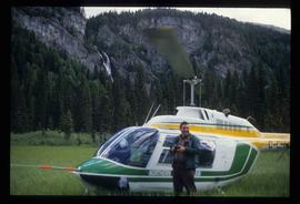
Image depicts a man standing in front of a helicopter; a waterfall is visible on the cliffs in the background. The slide itself is labelled "BC Parks Tour."
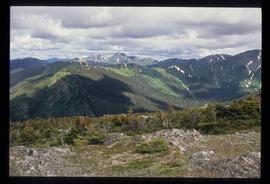
Image depicts a view of James Creek Valley.
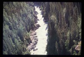
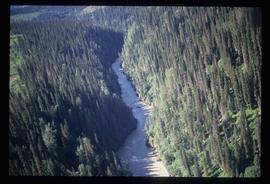
Image depicts a view of the Herrick River in what is possibly McGregor Canyon; the slide is simply labelled "McG Canyon."
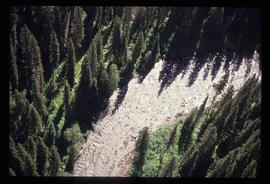
Image depicts a view of the Herrick River in what is possibly McGregor Canyon; the slide is simply labelled "McG above Canyon."
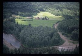
Image depicts an aerial view of what appears to be a small farm, possibly in the McGregor Canyon.
Image depicts a Beehive Burner along the Nechako on River Road. Map coordinates 53°55'34.1"N 122°44'58.0"W.
Image depicts the cutbanks on the other side of the Nechako, taken from the nature trail at Island Cache. Map coordinates 53°55'34.6"N 122°45'52.4"W
Image depicts Parkside Intermediate Care Home on Ospika Boulevard in Prince George. Map coordinates 53°55'02.6"N 122°47'41.6"W
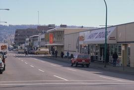
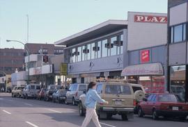
Image depicts 4th Ave at Brunswick St. and the following businesses: Hart Drugs, The Yarn Barn, and Saveco. Map coordinates 53°54'59.9"N 122°44'52.9"W
Image depicts 4th Ave at Quebec St, showing the following businesses: The Yarn Barn, Golden Chalice Jewellers, Dandy Lines, Ultrasport, and Saveco. Map coordinates 53°54'58.6"N 122°44'47.5"W
Image depicts the Northwood pulpmill in Prince George B.C.
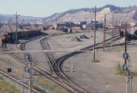
Image depicts a number of trains in the CNR train yard taken from River Road in Prince George, B.C. Map coordinates 53°54'51.5"N 122°43'29.6"W
Image depicts a view of Blackburn Schools, possibly taken from Tabor Mountain.
Image depicts Prince George, possibly with the Northwood Pulpmill in the background.
Image depicts the Nechako Subdivision in Prince George, B.C.
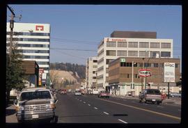
Image depicts downtown Prince George, B.C.
Image depicts a bridge in Prince George, B.C.
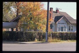
Image depicts a house on the corner of 7th Ave and Vancouver Street in Prince George, B.C.
Item is an original 1989 map depicting Bella Coola in British Columbia, published by the Department of Energy Mines and Resources in Ottawa, Canada. The map also includes Kent Sedgwick's travels in the Bella Coola area highlighted in red.
File consists of notes, clippings, and reproductions relating to the Lheidli T'enneh First Nation. Includes: "Prince George Native Friendship Centre 40th Anniversary" special edition of the Prince George Citizen newspaper (12 June 2009); "Lheit-Lit'en Nation: Treaty Making with the Government of Canada and the Province of British Columbia" booklet issued by Lheit-Lit'en Nation Treaty Office (1996); "Cooperative Management of the Herrick Valley Old Growth Forest and Aquatic Resources: An Opportunity Under the Federal Government's Initiatives on Developing a 'Model Forest'" proposal from Lheit-Lit'en Nation to the Forest Canada's Model Forest (25 Feb. 1992); and various clipped articles from the Prince George Citizen (2003-2009).
The item is a photograph depicting the unveiling of the Arrival of Steel monument at 772 1st Avenue, Prince George. Bruce Anderson and Mayor John Backhouse are in front of the monument. A crowd is standing around the monument watching the unveiling. Tilden Truck Rentals can be seen in the background.
The item is a photograph depicting the unveiling of the Arrival of Steel monument at 772 1st Avenue, Prince George. The focus is on the crowd surrounding the monument.
The item is a photograph depicting the unveiling of the Arrival of Steel monument at 772 1st Avenue, Prince George. Ted Williams, Bryan Gardiner, Bruce Strachan and John Backhouse are standing in front of the monument with another woman.
The item is a photograph depicting the unveiling of the Arrival of Steel monument at 772 1st Avenue, Prince George. Ted Williams, Bryan Gardiner, Bruce Strachan and John Backhouse are standing in front of the monument with another woman. Annotation on the reverse side of the photograph states, "Ted Williams Bryan Gardiner MP Bruce Strachan MLA assistant? John Backhouse Mayor CN Rail."
The item is a photograph depicting the unveiling of the Arrival of Steel monument at 772 1st Avenue, Prince George. Ted Williams and a woman are photographed looking at the plaque on the monument.
The item is a photograph depicting the unveiling of the Arrival of Steel monument at 772 1st Avenue, Prince George. Ted Williams and a woman are photographed looking at the plaque on the monument.
Image depicts a view of the Herrick River in what is possibly McGregor Canyon; the slide is simply labelled "McG Canyon - above Herrick."
File consists of notes and reproductions relating to the survey of Prince George. Includes material on survey plans, lots in Prince George, original town planning, subdivision plans, and Kent Sedgwick's handwritten notes on surveying and town planning in Prince George. File primarily includes photopied maps depicting town lots and planning in Prince George. Includes: "RE: Title Search for Fairgrounds" typescript letter from Kent Sedgwick to Dr. Dick Rowe (26 Apr. 1990) and "Map showing South Fort George, Fort George (Central) and the additions surveyed in 1910 or later" reproduced map from the Fort George Tribune newspaper.
File consists of maps and town surveys of early Prince George. Includes various reproduced 1915 maps and surveys depicting Prince George, Central Fort George, and Fort George: "Subdivision of part of Indian Reserve no. 1 lot 343 Cariboo District BC"; "Parcel Z map 1268"; "Plan of Subdivision lot 933"; "First addition to townsite of Central Fort George"; "Subdivision of lot 1511 Cariboo District BC"; "Townsite of Fort George" map originally made by R.H. Holland; "Plan of Subdivision of lot 1426 Fort George Collins Addition"; "Plan of subdivision of lot 932 Cariboo District"; and "Plan of subdivision of part of lot 2507."
