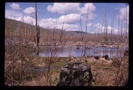
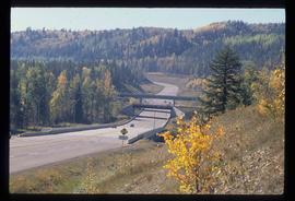
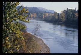
Image depicts the cutbanks on the other side of the Nechako, taken from the nature trail at Island Cache. Map coordinates 53°55'34.6"N 122°45'52.4"W
Image depicts the cutbanks on the other side of the Nechako, taken from the nature trail at Island Cache. Map coordinates 53°55'34.6"N 122°45'52.4"W
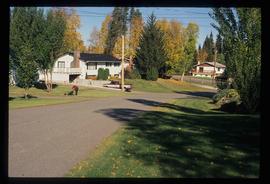
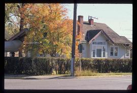
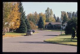
Image depicts a neighbourhood on the Hart Highway in Prince George, B.C.
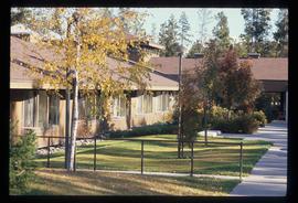
Image depicts Parkside Intermediate Care Home on Ospika Boulevard in Prince George. Map coordinates 53°55'02.6"N 122°47'41.6"W
Image depicts 3rd Ave at Victoria St. Map coordinates 53°55'03.9"N 122°44'54.8"W
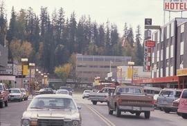
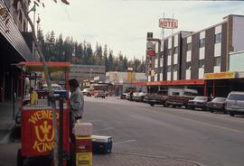
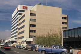
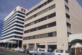
Image depicts George St in downtown Prince George with City Hall in the background. Also visible are the Prince George Hotel and a movie theatre. Map coordinates 53°54'55.0"N 122°44'36.1"W
Image depicts George St in downtown Prince George with City Hall in the background. Also visible are the Prince George Hotel, Ming's Inn Chinese Restaurant, Fraser Stationers Ltd., Weiner King food cart, and a movie theatre. Map coordinates 53°54'55.0"N 122°44'36.1"W
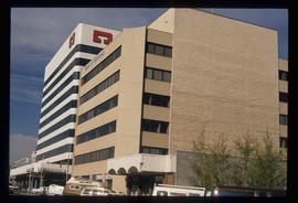
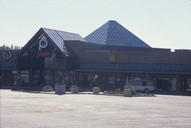
Image depicts Pine Centre Mall in Prince George, B. C. Map coordinates 53°53'53.2"N 122°46'36.4"W
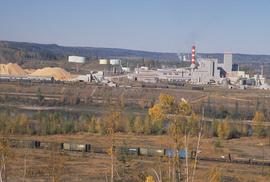
Image depicts the Northwood pulpmill in Prince George B.C.
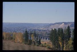
Image depicts the Yellowhead Bridge across the Fraser River. Map coordinates 53°54'45.2"N 122°43'27.9"W
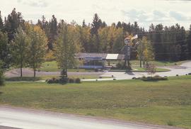
Image depicts Mr. P.G. and the Tourism Information site at the intersection of Highway 16 and 97. Map coordinates 53°53'46.5"N 122°46'00.7"W
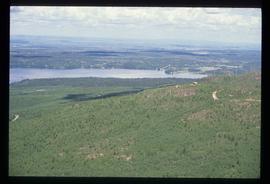
Image depicts a view over Tabor Mountain.
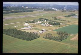
Image depicts a view of an experimental farm, possibly taken from Tabor Mountain.
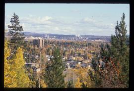
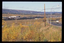
Image depicts Prince George, possibly with the Northwood Pulpmill in the background.
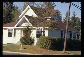
Image depicts a house on the corner of 7th Ave and Vancouver Street in Prince George, B.C.
Image depicts a house on the corner of 12th Ave and Vancouver Street in Prince George, B.C.
Item is an original 1989 map depicting Anahim Lake in British Columbia, published by Energy Mines and Resources Canada.
The item is a photograph depicting the unveiling of the Arrival of Steel monument at 772 1st Avenue, Prince George. Bruce Anderson and Mayor John Backhouse are in front of the monument with Backhouse giving a speech.
The item is a photograph depicting the unveiling of the Arrival of Steel monument at 772 1st Avenue, Prince George. Bruce Anderson and Mayor John Backhouse are in front of the monument. A crowd is standing around the monument watching the unveiling. Tilden Truck Rentals can be seen in the background.
The item is a photograph depicting the unveiling of the Arrival of Steel monument at 772 1st Avenue, Prince George. Three men are standing in front of the monument, one holding a child and another holding a sign that reads "Edmonton -> Prince George ?" Annotation on reverse side of the photograph states, "CN employees concerned about layoffs with jobs going to Edmonton."
The item is a photograph depicting the Arrival of Steel monument at 772 1st Avenue, Prince George.
File consists of clippings and reproductions relating to the history of photographers in Prince George, including material on Wally David West, Dave Milne, John Simonson, and Jacob Simonson. Includes clipped article from the Prince George Free Press "Capturing historic firsts" (4 Mar. 2001); "West proves to be very best" (9 May 1999); and "Mysterious photographer left behind a rich legacy" clipped article from Prince George This Week newspaper (23 Feb. 1997).
The item is a photograph depicting the Arrival of Steel monument at 772 1st Avenue, Prince George.
The item is a photograph depicting the Arrival of Steel monument at 772 1st Avenue, Prince George.
The item is a photograph depicting the plaque on the Arrival of Steel monument at 772 1st Avenue, Prince George.
The item is a photograph depicting the plaque on the Arrival of Steel monument at 772 1st Avenue, Prince George.
File contains slides depicting places in Wyoming, USA.
Image depicts a forest of dead trees on the slopes of Tabor Mountain in Prince George, B.C.
File consists of notes, clippings, and reproductions relating to federal government buildings in Prince George. Includes: "Fw: Info - Prince George Former Post Office - 1294 3rd Avenue" printed email from Trelle Morrow to Kent Sedgwick (27 May 2011); "City of Prince George" typescript letter to Noel O'Beirne from Kent Sedgwick (13 Nov. 1991); "Possible users for federal government building 3rd Avenue/Quebec Street" typescript letter to Alderman Becott from Kent Sedgwick (10 Oct. 1989); "City of Prince George" typescript letter to Dr. Colin Campbell, Director of Heritage Conservation Branch from Kent Sedgwick (5 May 1989); "RE: Municipal Heritage Designation of Federal Government Building" typed letter from Ian Whitbread to Kent Sedgwick (28 Mar. 1991); "Bylaw No. 5538" typescript document from the City of Prince George (3 Apr. 1991); "Public Notice 'Heritage Designation Bylaw No. 5538, 1990'" typescript document from B.C. Williams, City Clerk (1990); "Intersect" typed letter to Kent Sedgwick from Kathy Antonyk (14 Mar. 1994); and "Heritage Conservation in your community..". pamphlet from the Heritage Advisory Committee (1994). Also includes a photograph depicting the old Post Office in Prince George (1990).
File consists of notes, clippings, and reproductions relating to Knox United Church at 1448 Fifth Avenue, Prince George. Includes: "Knox United Church earns heritage places award" clipped article from Prince George Citizen newspaper (13 Feb. 2010); "City of Prince George" typescript letter from Kent Sedgwick to Heather Seabrooke (8 May 1989); "Response" typescript letter from Heather Seabrook to Kent Sedgwick (12 Sept. 1989); and "Knox Church" typescript document by Kent Sedgwick (7 Mar. 1991). Also includes photographs depicting the interior and exterior of Knox United Church in Prince George (1991).
File consists of reproductions and typescript documents relating to the "From Trail to Rail" book written by Audrey L'Heureux and promotion of the book at the Alexander Mackenzie Trail Association annual meeting in 1989.
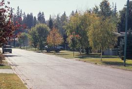
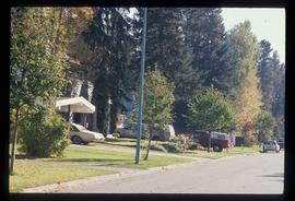
Image depicts a subdivision of Prince George, B.C.
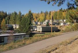
Image depicts trailer homes in Prince George, B.C.
Image depicts 3rd Ave at Victoria St. Map coordinates 53°55'03.9"N 122°44'54.8"W
Image depicts 3rd Ave at Victoria St. Map coordinates 53°55'03.9"N 122°44'54.8"W
Image depicts the Salvation Army on Ospika Boulevard in Prince George, B.C. Map coordinates 53°55'02.6"N 122°47'41.6"W.
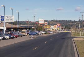
Image depicts Central Street West, parallel to Highway 97 in Prince George, B.C. looking north. Shown: Prince George Motors and other car dealerships, Burger King, Grama's Inn, and the Spruceland Shopping Mall sign. Map coordinates 53°54'42.1"N 122°46'53.1"W
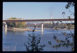
Image depicts the Fraser River and the Yellowhead and Grand Trunk Railway Bridges from LC Gunn Park. Map coordinates 53°54'30.7"N 122°43'27.0"W
Image depicts the Northwood pulpmill in Prince George B.C.
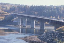
Image depicts the Foothills Bridge over the Nechako river on the Foothills Boulevard in Prince George, B.C. Map coordinates 53°56'52.5"N 122°48'59.9"W
Image depicts a river, possibly the Nechako, in Prince George, B.C. Possibly taken from the Foothills Bridge.
Image depicts the Grand Trunk Railway bridge across the Fraser River. Map coordinates 53°54'29.0"N 122°42'06.5"W
Image depicts Prince George, possibly with the Northwood Pulpmill in the background.
Image depicts the Seymour Subdivision in Prince George, B.C.
Image depicts the Seymour Subdivision in Prince George, B.C.
File contains slides depicting images of and around Divide Lake.
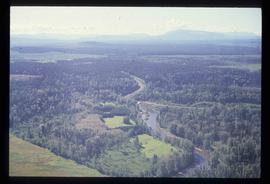
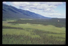
Image depicts an aerial view of a forest somewhere in the area of Divide Lake.
Image depicts an aerial view of a forest somewhere in the area of Divide Lake.
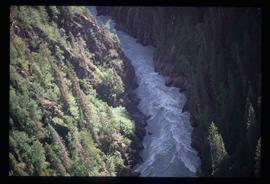
Image depicts a view of the Herrick River in what is possibly McGregor Canyon; the slide is simply labelled "McG Canyon."
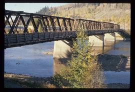
Image depicts a bridge in Prince George, B.C.


