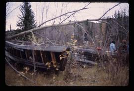
2012.13.1.76.13
·
Pièce
·
Sep. 1979
Fait partie de J. Kent Sedgwick fonds
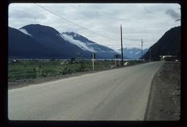
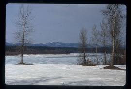
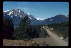
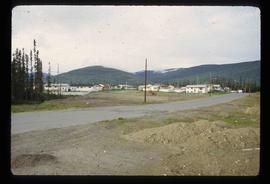
Image depicts the Skeena River, as well as a stretch of highway that appears to be under construction.