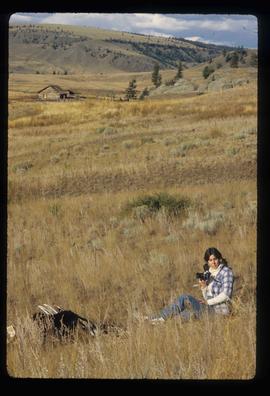
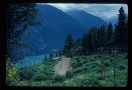
Showing 4951 results

Archival description
3026 results with digital objects Show results with digital objects
Prince George city planning
2012.13.2.02.14 · Bestanddeel · 1975-1980
Part of J. Kent Sedgwick fonds

File consists of clippings, notes, and reproductions relating to city planning in Prince George. Includes "An Epic Drunkard's Beer Parlour and Pub Omnibus Route" reproduced from the CNC Free Press (1980).

Monkman Pass in newspapers
2012.13.2.14.25 · Bestanddeel · [between 1970 and 1980]
Part of J. Kent Sedgwick fonds

File consists of notes, clippings, and reproductions relating to the Monkman Pass mentioned in newspapers.

Penny train station
2012.13.2.15.21.03 · Stuk · [ca. 1980]
Part of J. Kent Sedgwick fonds

The photograph depicts Penny train station next to the train tracks. A girl is sitting in front of the station. Annotation on slide states, "0116 Penny."

"Map of Prince Rupert"
2012.13.2.15.30.1 · Stuk · [before 1980]
Part of J. Kent Sedgwick fonds

The item is a map depicting the Prince Rupert townsite. Map is published by McRae Bros. Ltd. and Collart & Reynolds Real Estate.

Eaglet Lake Creek
2012.13.1.89.095 · Stuk · [1980?]
Part of J. Kent Sedgwick fonds

Image depicts the creek flowing into Eaglet Lake. A grey area of hill on the right side of the image appears to be the Giscome Quarry. Map coordinates 54°04'26.2"N 122°22'04.3"W

"BC5553 No. 237"
2012.13.2.11.04.2 · Stuk · [ca. 1980]
Part of J. Kent Sedgwick fonds

The item is a reproduction of an aerial photograph of Prince George between 1972 to 1975.

Woman with Camera
2012.13.1.52.27 · Stuk · 1980
Part of J. Kent Sedgwick fonds

Image depicts an unknown woman with a camera. Nearby are the skeletal remains of an unknown animal. The location is the upper Fraser Canyon.

Road and Scenery
2012.13.1.52.45 · Stuk · [1980?]
Part of J. Kent Sedgwick fonds

Image depicts a road somewhere in the Upper Fraser Canyon, and a view of the hills and trees.

Cliff Road - Overhang
2012.13.1.59.14 · Stuk · July 1980
Part of J. Kent Sedgwick fonds

Image depicts a camper passing under an overhang as it drives along a narrow road near a cliff; located somewhere near Bralorne, B.C.

Bralorne
2012.13.1.59.39 · Stuk · July 1980
Part of J. Kent Sedgwick fonds

Image depicts an area of Barlone, B.C. surrounded by trees.

Tourists?
2012.13.1.65.66 · Stuk · July 1980
Part of J. Kent Sedgwick fonds

Image depicts a view of the landscape at an unknown location with a group of people, possibly tourists, present. It is possibly near the Fraser River.

Grain Elevator and Dock
2012.13.1.77.35 · Stuk · 1980
Part of J. Kent Sedgwick fonds

Image depicts a large vessel docked at a grain elevator and two smaller boats at a dock in the foreground somewhere in Prince Rupert, B.C.