2012.13.1.057
·
Deelreeks
·
[between 1979 and 1982]
Part of J. Kent Sedgwick fonds
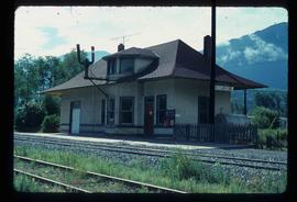
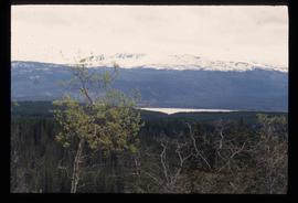
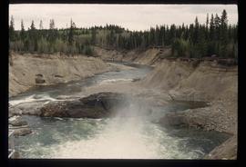
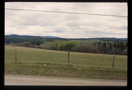
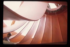
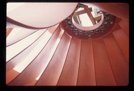
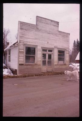
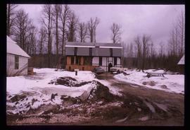
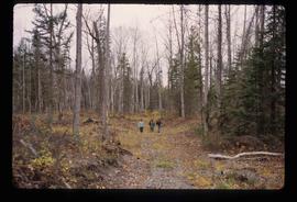
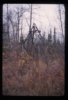
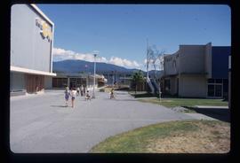
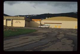
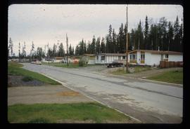
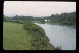
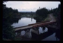
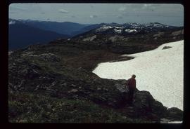
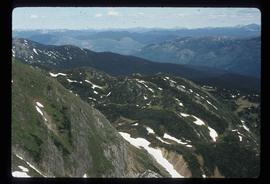
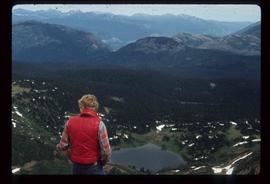
File contains slides depicting New and Old Aiyansh, as well as the Tseax Lava Flow.