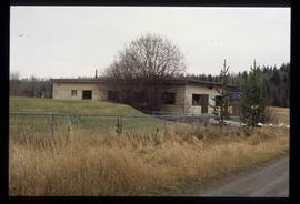
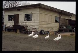
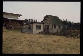
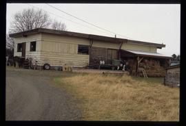
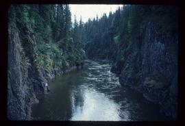
Showing 5065 results

Archival description
3026 results with digital objects Show results with digital objects
Peace River
2012.13.1.91.13 · Stuk · Oct. 1978
Part of J. Kent Sedgwick fonds

Image depicts the Peace River, possibly near Clayhurst or Hudson's Hope, B.C.

Peace River
2012.13.1.91.12 · Stuk · Oct. 1978
Part of J. Kent Sedgwick fonds

Image depicts the Peace River, possibly near Clayhurst or Hudson's Hope, B.C.

Peace River?
2012.13.1.91.06 · Stuk · Oct. 1978
Part of J. Kent Sedgwick fonds

Image depicts what is possibly the Peace River running parallel to a road, possibly Highway 29.

W.A.C. Bennett Dam
2012.13.1.91.02 · Stuk · Sep. 1974
Part of J. Kent Sedgwick fonds

Image depicts a section of the Peace River blocked off by the W.A.C. Bennett Dam. The dam itself is not visible in the image.

Dawson Creek
2012.13.1.91.01 · Stuk · Sep. 1974
Part of J. Kent Sedgwick fonds

Image depicts a road with a guardrail and open fields somewhere near Dawson Creek, B.C.

Two People and a Mobile Home
2012.13.1.89.181 · Stuk · 2004
Part of J. Kent Sedgwick fonds

Image depicts two unidentified individuals speaking to each other in the doorway of what appears to be a mobile home. The location is uncertain.

A Ferry?
2012.13.1.89.180 · Stuk · 2004
Part of J. Kent Sedgwick fonds

Image depicts what appears to be a ferry crossing a river at an uncertain location.

Two Small Sheds
2012.13.1.89.177 · Stuk · 2001
Part of J. Kent Sedgwick fonds

Image depicts two small sheds at an uncertain location. The slide labels them as "Giscome bldgs in Blackburn."

Willow River - Lloyd Edwards
2012.13.1.89.131 · Stuk · 1985
Part of J. Kent Sedgwick fonds

Image depicts a group of people somewhere in Willow River, B.C. The man in the plaid shirt and beige cap is identified on the slide as being Lloyd Edwards.

Bowron Canyon
2012.13.1.89.062 · Stuk · Sep. 1978
Part of J. Kent Sedgwick fonds

Image depicts what is possibly the Bowron River. The slide is simply labelled "Bowron Canyon."

Newlands?
2012.13.1.89.028 · Stuk · Mar. 1975
Part of J. Kent Sedgwick fonds

Image depicts what is possibly the community of Newlands, B.C.

Mellos House
2012.13.1.88.51 · Stuk · 2004
Part of J. Kent Sedgwick fonds

Image depicts a house with torn-up siding. The slide is labelled: "Mellos house relocated from Penny." The location is uncertain.

Penny - Hiking Trail Signs
2012.13.1.88.49 · Stuk · 2004
Part of J. Kent Sedgwick fonds

Image depicts two signs for hiking trails in Penny, B.C. One reads: "Hiking trail to Red Mt. Lake (Grizzly Bear Mt.) expect to meet wild animals."

Kent Sedgwick
2012.13.1.88.35 · Stuk · 1980
Part of J. Kent Sedgwick fonds

Image depicts Kent Sedgwick sitting on the bank of a river. An old beehive burner is visible in the background. Located somewhere in or near Penny, B.C.

Penny - Fraser River?
2012.13.1.88.02 · Stuk · 1975
Part of J. Kent Sedgwick fonds

Image depicts four unidentified individuals standing on the bank of a river, possibly the Fraser, somewhere in or near Penny, B.C.

Cabin
2012.13.1.87.038 · Stuk · [between 1975 and 1995]
Part of J. Kent Sedgwick fonds

Image depicts a cabin at an uncertain location.

Teepee?
2012.13.1.87.037 · Stuk · [between 1975 and 1995]
Part of J. Kent Sedgwick fonds

Image depicts what appears to be a teepee at an uncertain location.

A Saw
2012.13.1.87.036 · Stuk · [between 1975 and 1995]
Part of J. Kent Sedgwick fonds

Image depicts a saw and numerous wooden boards at an uncertain location.