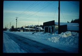
Image depicts a snowy street in Willow River, B.C. There are several buildings, one is an Esso station and another is labelled as "Red & White Food Store."
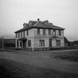
Photograph depicts the Windsor Hotel at Fort Steele, 10 miles northeast of Cranbrook. It was built in 1895 by Robert D. Mather and originally was called Dalgarno House. It is being renovated as a village museum.
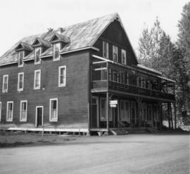
Photograph depicts Windsor Hotel, the only survivor of about 5 hotels that were in the area.
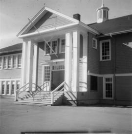
Photograph depicts Windsor School, an elementary school in south Burnaby.
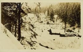
Photograph is a printed postcard depicting a few cabins covered in snow near Stewart B.C.
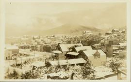
Elevated photograph of downtown Prince Rupert covered in snow. Printed annotation on recto reads: "Winter Scene. Prince Rupert. B.C."
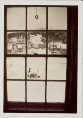
Handwritten annotation in pen on verso reads: “Looking out of our classroom window up the street.” According to the donor, the car stuck in the snow belonged to his colleague, Bob White.
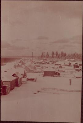
Photograph depicts village buildings along shore.
Handwritten annotation on verso reads: "Massett in Winter dress."
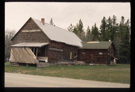
Image depicts the old community hall located somewhere in the Wistaria Provincial Park.
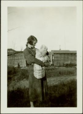
Woman and baby stand in grassy area of what appears to be a farm yard, unidentified buildings in background.
Woman and baby stand on front lawn, unknown man and building in background.
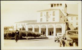
Photograph speculated to depict Sarah Glassey in a warm location such as Los Angeles, California. Large building with tiled roof stands in background, cars in right foreground.
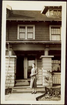
Unidentified woman stands on sidewalk in front of large home with pillared entryway and veranda.
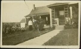
Unidentified woman stands by hedges in front of tall home with covered veranda and pillared entry way. Sidewalk and front lawn in foreground, shed in background.
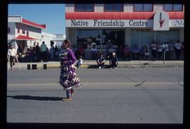
Image depicts a woman, wearing clothes reminiscent of traditional First Nations, who appears to be dancing in the street outside of a Native Friendship Centre in Prince George, B.C. A large crowd is looking on.
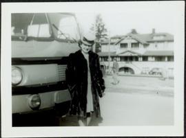
Woman stands wearing hat and fur coat in front of bus. Street, man, woman, and large building visible in background.
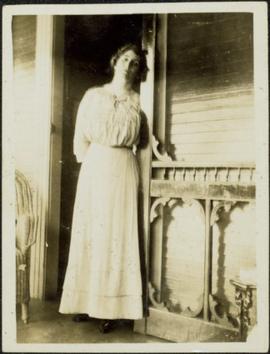
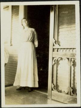
Woman speculated to be mother of H.F. Glassey stands in open doorway of porch, leaning her head against the sill.
Woman speculated to be mother of H.F. Glassey stands in open doorway of porch, leaning her head against the sill.
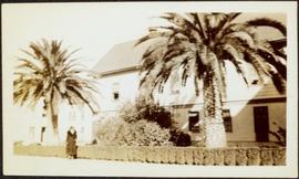
Woman stands in front of trimmed hedges and palm trees, tall buildings in background. Photograph speculated to depict Sarah Glassey in a warm location such as Los Angeles, California.
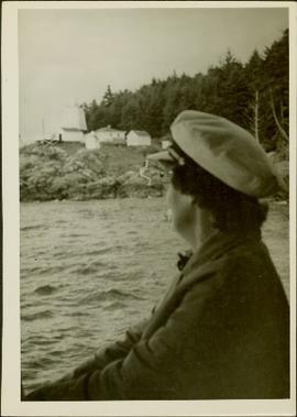
Photograph depicts an unidentified woman (Public Health Nurse?) looking back over the water towards some buildings and a lighthouse on a rocky shore (Pine Island?).
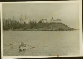
Photograph depicts a woman wearing a Cowichan sweater rowing a boat away from a rocky island with a lighthouse. Handwritten annotation in pencil on verso reads: “Gal in boat wearing Indian sweater knit by my mother Eileen M. Jackson (she also spun the wool) for her brother J.J. Claxton, cook on the Columbia Coast Mission Boat. - S.K. Jackson”
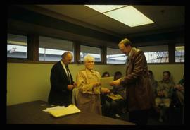
Image depicts a woman holding a sheet of paper in a room with numerous other unidentified individuals. The man standing behind her is possibly Elmer Mercier, a former Mayor of Prince George, B.C.
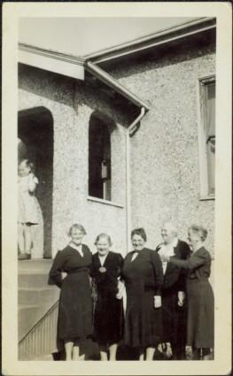
Four elderly women in black dresses stand to right of steps to unknown building. A young girl stands at top of steps in background. Handwritten annotation on recto of photograph: "Audry [Night?], Mrs Fuller, Mrs Peters, Mrs Murphy, Mrs [McMeefrin?] Mrs McKechine".
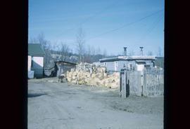
Image depicts a wood pile in Island Cache.
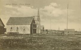
Side view of a wooden church, possibly under construction, and other buildings. Printed annotation on recto reads: "Indian Village- Prince George."
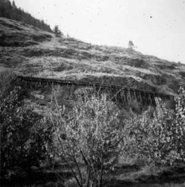
Photograph depicts a wooden irrigation flume on the west side of Oliver in the Osoyoos fruit valley, near #18 Rd.
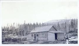
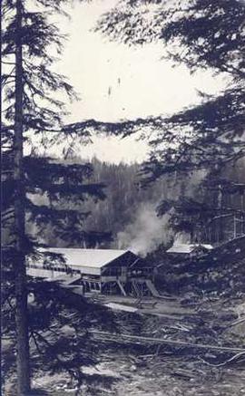
Photograph depicts a wood planked building on pilings under construction in a forest clearing.
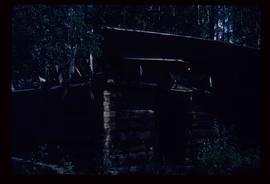
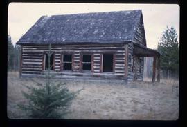
Image depicts the Bachelor's Hall in Woodpecker, B.C.
Image depicts the Bachelor's Hall in Woodpecker, B.C.
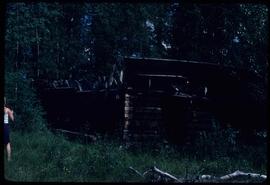
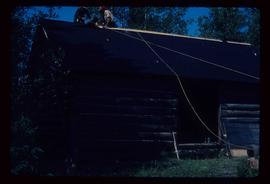
Image depicts a log cabin, with a few unknown individuals working on the roof, in Woodpecker, B.C.
Image depicts a log cabin, with a few unknown individuals working on the roof, in Woodpecker, B.C.
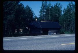
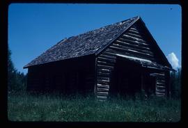
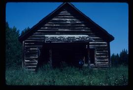
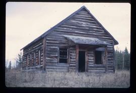
Image depicts the old school in Woodpecker, B.C.
Image depicts the old school in Woodpecker, B.C.
Image depicts the old school in Woodpecker, B.C.
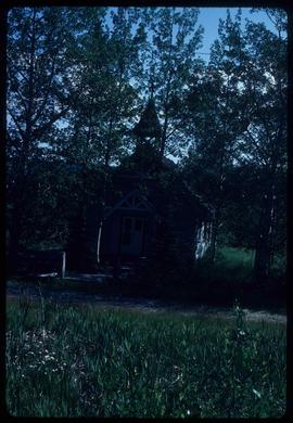
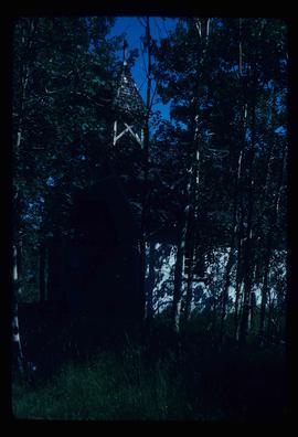
Image depicts a church in Woodpecker, B.C.
Image depicts a church in Woodpecker, B.C.
Image depicts a church in Woodpecker, B.C.
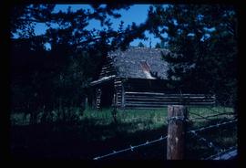
Image depicts the old Woodpecker School.
Image depicts the old Woodpecker School.
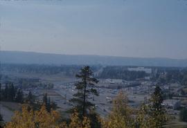
Image depicts Parkwood Place taken from Connaught Hill looking west with the hospital in the background. Map coordinates 53°54'39.9"N 122°45'02.5"W
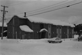
Photograph depicts large building behind power lines, car in right foreground.
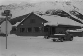
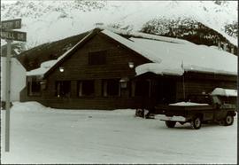
Photograph depicts a building with a truck parked in front on the corner of Connell Drive and Creery Street.
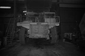
Photograph depicts what appears to be a Euclid ore haulage truck at entrance of building speculated to be the truck dumping station at crusher plant in mine.
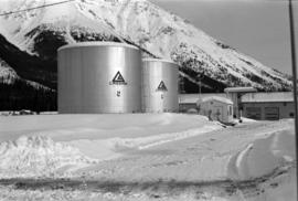
Photograph depicts two large tanks with Cassiar logo on front, labeled "1" and "2". Road in foreground, garage in background. Mountain base also visible in background.
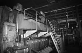
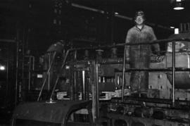
Photograph depicts unidentified man standing on Ruston Hornsby diesel engine which turned the generators in the power house on the Cassiar plant.
Photograph depicts two unidentified men standing on Ruston Hornsby diesel engine which turned the generators in the power house on the Cassiar plant.
Photograph depicts the old company store located at corner of Connell Driver and Creery Street. Retail store was located under company cafeteria "the Cookery", with butcher shop in back. The Cookery was known for serving good food and providing excellent service.
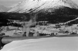
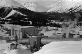
Plant buildings stand in midground. Conveyor believed to be leading to tailings pile can be seen in foreground. Valley and mountains in background.
Mill building in left midground. Conveyor believed to be leading to tailings pile can be seen in foreground. Valley and mountains in background.
