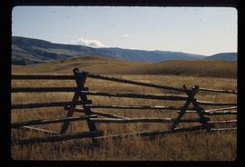
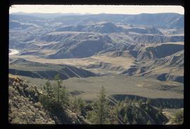
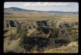
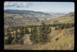
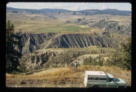
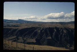
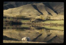
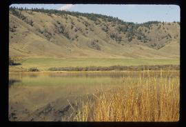
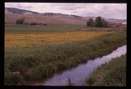
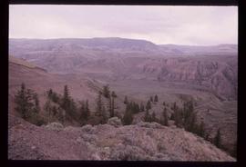
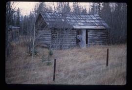
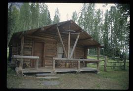
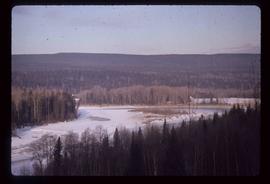
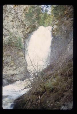
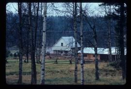
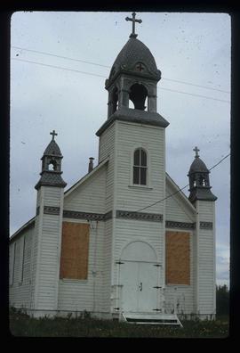
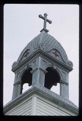
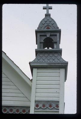
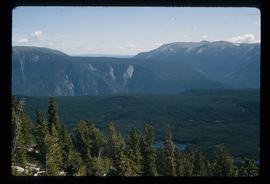
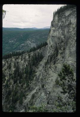
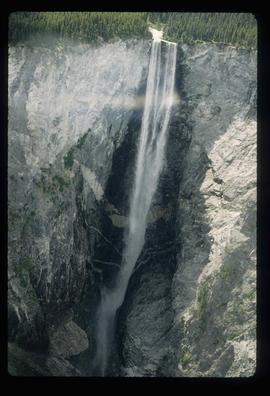
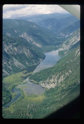
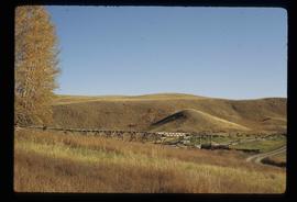
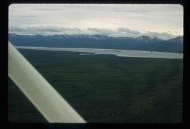
Image depicts an area of hill at Gang Ranch.
Image depicts a fence and the property of the Gang Ranch.
Image depicts a view of the upper Fraser Canyon.
Image depicts a view of the eastern part of the upper Fraser Canyon.
Image depicts a view of the upper Fraser Canyon.
Image depicts a field north of Dog Creek in the upper Fraser Canyon.
Image depicts the grave of W.L. Meason in the upper Fraser Canyon.
Image depicts the Fraser River in the upper Fraser Canyon.
Image depicts the Fraser River, and a sign pointing towards Gang Ranch, in the Upper Fraser Canyon.
Image depicts the Fraser River, and a sign pointing towards Gang Ranch with an unknown individual hugging it, in the Upper Fraser Canyon.
Image depicts Gang Ranch in the Upper Fraser Canyon.
Image depicts the Gang Ranch House in the Upper Fraser Canyon.
Image depicts a stream and field at Gang Ranch in the Upper Fraser Canyon.
Image depicts a view of the Upper Fraser Canyon.
Image depicts the Fraser River near Lillooet, B.C.
Image depicts a train in an uncertain location.
Image depicts the inside of a mine with an unknown individual present. It is possibly the inside of the closed Britannia Mine.
Image depicts a number of old buildings, possibly located at the closed Britannia Mine.
Image depicts an old building, possibly located at the closed Britannia Mine.
Image depicts a view of Nairn Falls Provincial Park.
Image depicts a farm at an uncertain location.
Image depicts St. Mark's Anglican Church in Woodpecker, B.C.
Image depicts a shack in Woodpecker, B.C. The previous slide of the same building is labelled "seed plant" for unknown reasons.
Image depicts the Mount Robson Ranch.
Image depicts an old gas pump at the Mount Robson Ranch.
Image depicts the Mount Robson Ranch.
Image depicts a view of a forested area and a frozen river at an unknown location.
Image depicts a log house at an uncertain location; the slide is simply labelled "Cariboo."
Image depicts a beehive burner, as well as rail road tracks, at an unknown location.
Image depicts an area of disturbed ground, most likely due to a landslide, at an unknown location.
Image depicts the Hixon Falls in Hixon, B.C.
Image depicts the Crosina Store at 153 Mile House.
Image depicts a boarded up church in Shelley, B.C.
Image depicts a section of the boarded up church at Shelley, prior to its restoration.
Image depicts a small section of the boarded up church in Shelley, B.C.
Image depicts a souvenir and gift shop for both Barkerville and Wells, B.C.
Image depicts the abandoned Cariboo Rooms, and a liquor store in Wells, B.C.
Image depicts an aerial view of what is likely Turner Lake in South Tweedsmuir Provincial Park.
Image depicts an aerial view of South Tweedsmuir Provincial Park.
Image depicts an aerial view of a waterfall in South Tweedsmuir Provincial Park.
Image depicts an aerial view of a lake in South Tweedsmuir Provincial Park.
Image depicts an aerial view of South Tweedsmuir Provincial Park.
Image depicts a lake in South Tweedsmuir Provincial Park. There is a canoe present on the shore.
Image depicts a lake in South Tweedsmuir Provincial Park.
Image depicts a lake and mountain somewhere in South Tweedsmuir Provincial Park.