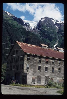
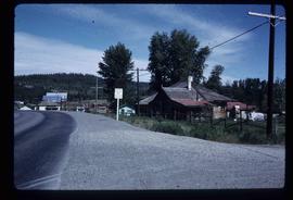
Image depicts an old, boarded up hotel in Stewart, B.C.
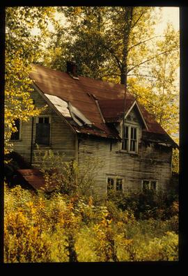
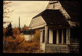
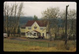
Image depicts an old house with a torn up roof. The location is uncertain.
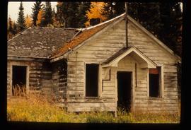
Image depicts an old house missing windows and doors at an uncertain location.
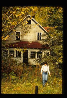
Image depicts an old house in Penny and a woman, possibly Sue Sedgwick, standing in front of it. The location is uncertain.
Image depicts an old house missing windows and doors in the foreground, and a bunkhouse in the background, in Sinclair Mills, B.C. Map coordinates 54°01'17.4"N 121°40'53.0"W
Image depicts what appears to be an old mill at an unknown location.
Image decpicts the old road to the townsite in Giscome, B.C. Map coordinates 54°04'19.7"N 122°22'04.7"W
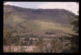
Image depicts an old slump type of landslide. The slide labels it as being near "McAlister."
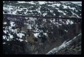
Image depicts an old trestle along the White Pass railway.
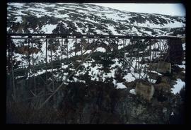
Image depicts an old trestle along the White Pass railway.
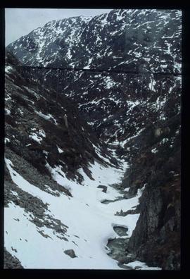
Image depicts an old trestle along the White Pass railway.
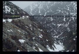
Image depicts an old trestle along the White Pass railway, and the White pass Train on the left of the image.
The item is a photograph of Old West Pawn Shop, Western Union Cashplan financial centre, Tan! and Body Axis Fitness Gear on 3rd Avenue Prince George. There are three men outside the building.
The item is a photograph of Old West Pawn Shop, Western Union Cashplan financial centre, Tan! and Body Axis Fitness Gear on 3rd Avenue Prince George. There are four men outside the building.
File consists of a clipping, printed emails, and reproductions relating to the Omineca region and Sedgwick's research. Includes: "Have you been to Hyder, friendliest ghost town in Alaska" large sticker (199-); and "Historical Museum Stewart B.C". large sticker (199-).
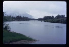
Image depicts a bridge over the Omineca River near Germansen Landing, B.C.
Image depicts two men in the cabin of a boat somewhere near Kitimat, B.C.
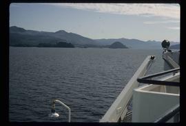
Image depicts Haida Gwaii.
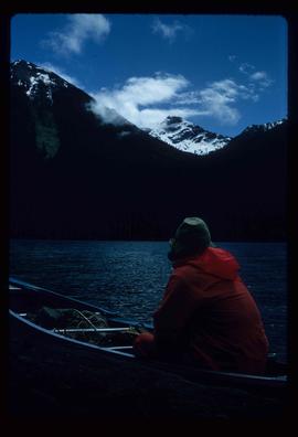
Image depicts an unknown individual in a canoe on Indianpoint Lake.
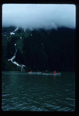
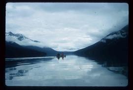
Image depicts four individuals canoeing on Lanezi Lake.
Image depicts four individuals canoeing on Lanezi Lake.
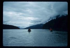
Image depicts two individuals canoeing on Lanezi Lake.
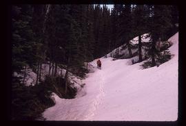
Image depicts several individuals walking on a trail somewhere near Raven Peak.
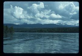
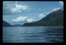
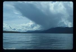
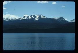
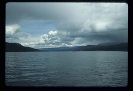
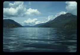
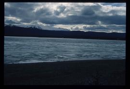
Image depicts a view of Takla Lake.
Image depicts a view of Takla Lake, "looking north-west."
Image depicts a view of Takla Lake, "looking south-east."
Image depicts a mountain and Takla Lake.
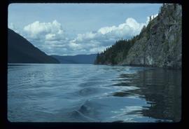
Image depicts the "north-west arm" of Takla lake.
Image depicts the "west arm" of Takla Lake.
Image depicts the "west arm" of Takla Lake.
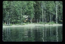
Image depicts a cabin on the "west arm" of Takla Lake.
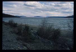
Image depicts a lake somewhere along what is possibly the Atlin Road to Atlin, B.C.
Image depicts a lake somewhere along what is possibly the Atlin Road to Atlin, B.C.
Image depicts the Onward Ranch near Williams Lake, B.C.
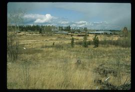
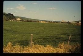
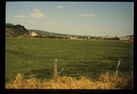
Photograph depicts an open field surrounded by trees.
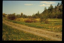
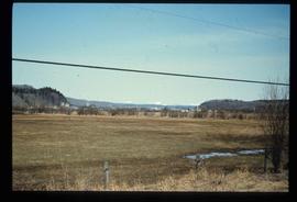
Photograph depicts an open field and a dirt road surrounded by trees in an unknown location.
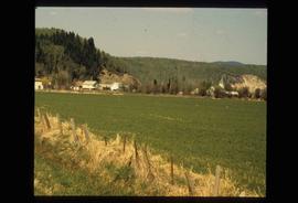
Image depicts an open field and numerous buildings, including a church in Giscome, B.C. Map coordinates 54°04'03.2"N 122°22'04.6"W
Image depicts a field in Giscome, B.C. On the right side of the image, in the background, is a grey strip that appears to be a mine, possibly the quarry at Eaglet Lake in Giscome, B.C. Map coordinates 54°03'52.9"N 122°22'10.0"W
Image depicts a field in Giscome, B.C. On the right side of the image, in the background, is a grey strip that appears to be a mine, possibly the quarry at Eaglet Lake in Giscome, B.C. Map coordinates 54°03'52.9"N 122°22'10.0"W
Image depicts an open field and Giscome, B.C. in the background. Map coordinates 54°03'52.9"N 122°22'10.0"W
Photograph depicts an open grassy field surrounded by trees in Soda Creek.
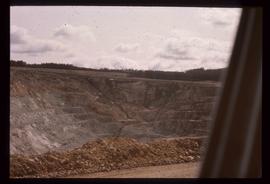
Image depicts an open mining pit at an uncertain location; it is possibly Gibraltar.
The item is a photograph depicting Hab King, Harold Moffat and Ted Williams at the opening of L. C. Gunn Park. Annotations on reverse side of photograph state, "3 Oct 88 Opening of Gunn Park #7 left on photo -> right Hab King Harold Moffat Ted Williams."
File consists of notes, reproductions, and clippings relating to an oral history interview with John Warren Meyer, veteran aviator, conducted by Kent Sedgwick. Includes: "College of New Caledonia Oral History Series" typed document with edits from Kent Sedgwick (2008); "Prince George oral history group interview with Frederick Thomas Norton" typed transcript of oral interview (9 Mar. 2005); and "RE: Interview arrangements" printed email from Bill Dodge to Kent Sedgwick (22 Aug. 2006). Also includes two 2006 photographs depicting Thomas Norton, Warren Meyer, Trelle Morrow, and Kent Sedgwick and a CD-R containing photos from the Exploration Place depicting WWII Aviation.
Image depicts water flowing through an irrigation channel in an orchard, somewhere in or near Seton Portage, B.C.
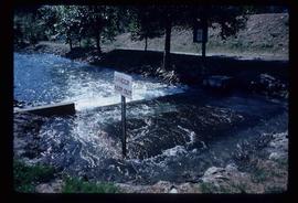
Image depicts water flowing through an irrigation channel in an orchard, somewhere in or near Seton Portage, B.C. There is a sign which reads: "Danger Keep out."
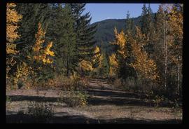
Image depicts an old road through the trees near Yellowhead Pass. The slide labels it as the origin of the Yellowhead highway.
Image depicts the original bank building in Wells, B.C.
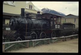
Image depicts the original steam engine for the White Pass Train, located in Skagway, Alaska.
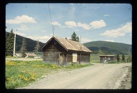
Image depicts a number of buildings at an uncertain location; the slide labels the older building in the image as potentially being the "original road house."
