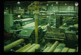
Image depicts logs being cut into planks in the interior of a saw mill somewhere in Prince George, B.C.
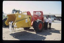
Image depicts two unidentified individuals examining a tractor meant to delimb trees. It is located in Prince George, B.C.
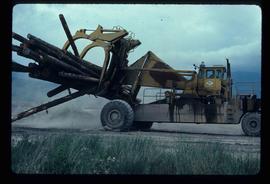
Image depicts a piece of heavy machinery lifting numerous logs. It is likely located in Prince George, B.C.
File consists of photographs separated from other boxes and subseries depicting downtown Prince George, historic Prince George, the North Thompson region, Fort St. James historic site, Brooks, Alberta, Sinclair Mills, and Soda Creek.
Photograph depicts a residential building at 1798 5th Avenue. Annotation on verso: "1798 - 5th Ave".
Photograph depicts Rosel's restaurant at 1624 7th Avenue. Rosel's restaurant was owned and operated by Wilfred and Rosel Vogt from 1981 to 1997. The building was built in 1916 and was originally owned by Dr. Carl Ewart and later owned by Hubert King of Wilson, King and Company, the oldest law firm in Prince George, after 1946. The building is now a designated heritage building.
Photograph depicts a residential building at 1643 10th Avenue. Annotation on verso: "1643 - 10th Ave".
Photograph depicts residential buildings at 1662 and 1674 9th Avenue, one with a green roof and one with a metal roof. Annotation on verso: "1674 - 9th Ave green roof), 1662 - 9th Ave (metal roof)."
Photograph depicts a residential building at 1612 12th Avenue, the building was used as "Prince Realty". Annotation on verso: "1612 - 12th Ave., NW corner of Vancouver."
Photograph depicts a residential building at 1661 10th Avenue. Annotation on verso: "1661 - 10th Ave".
Photograph depicts Canada Trust/ Realtor at 1633 4th Avenue.
Photograph depicts a residential building at 1616 8th Avenue, on the corner of Vancouver Street. Annotation on verso: "1616 -8th Ave, NW corner of Vancouver".
Photograph depicts the Shearer building in Prince George. Annotation on verso: "Shearer bldg".
Photograph depicts "Gifts to Remember," a gift shop on 3rd Avenue, The Bay in the background.
Photograph depicts Northern Hardware at 1386 3rd Avenue.
File consists of notes and reproductions relating to George Mercer Dawson (August 1, 1849 - March 2, 1901), a Canadian geologist and surveyor with the Geological Survey of Canada.
File consists of notes and reproductions relating to the Penny station. Also includes photographs depicting the Penny train station (1980?).
The photograph depicts Penny train station next to the train tracks. A girl is sitting in front of the station. Annotation on slide states, "0116 Penny."
File consists of notes and reproductions relating to the Grand Trunk Pacific Railway in Prince Rupert. Also includes a map depicting the Prince Rupert townsite (before 1980).
The item is a map depicting the Prince Rupert townsite. Map is published by McRae Bros. Ltd. and Collart & Reynolds Real Estate.
File consists of notes, clippings, and reproductions relating to Tete Jaune.
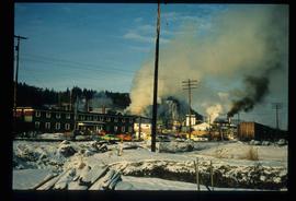
Image depicts the Giscome mill site in Giscome, B.C. The bunkhouse is in the background on the left and the school is in the foreground on the right. Map coordinates 54°04'04.8"N 122°22'04.7"W
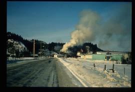
Image depicts the Giscome mill site in Giscome, B.C. The bunkhouse is the large building with many windows. A train and railroad tracks are in the foreground. Map coordinates 54°04'17.6"N 122°22'06.1"W
Image depicts employee houses on mill site in Giscome, B.C. Tug boats are in the foreground on the right. Map coordinates 54°04'23.4"N 122°22'16.9"W
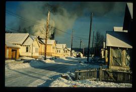
Image depicts a street of houses in Giscome, B.C. Map coordinates 54°04'20.9"N 122°21'53.1"W
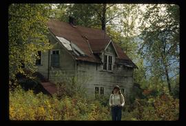
Image depicts Sue Sedgwick standing in front of an old, run-down house somewhere in or near Penny, B.C.
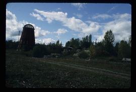
Image depicts a beehive burner somewhere in or near Penny, B.C.
Image depicts a Catholic church in Giscome, B.C. Map coordinates 54°04'15.5"N 122°21'52.1"W
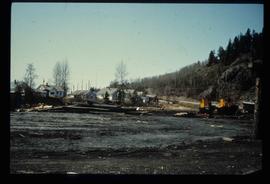
Image depicts the creek flowing into Eaglet Lake. A grey area of hill on the right side of the image appears to be the Giscome Quarry. Map coordinates 54°04'26.2"N 122°22'04.3"W
The item is a reproduction of an aerial photograph of Prince George between 1972 to 1975.
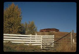
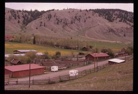
Image depicts the house of the owner of Gang Ranch.
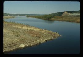
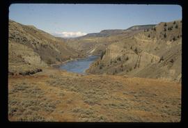
Image depicts the Fraser River in the upper Fraser Canyon.
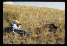
Image depicts an unknown woman taking pictures. Nearby are the skeletal remains of an unknown animal. The location is somewhere near the upper Fraser Canyon.
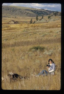
Image depicts an unknown woman with a camera. Nearby are the skeletal remains of an unknown animal. The location is the upper Fraser Canyon.
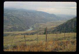
Image depicts a view of the upper Fraser Canyon. The Fraser River is visible on the left side of the image.
Image depicts a view of the upper Fraser Canyon. The Fraser River is visible on the left side of the image.
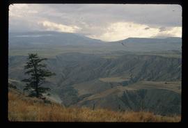
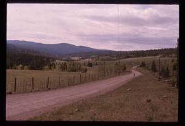
Image depicts a view of the upper Fraser Canyon.
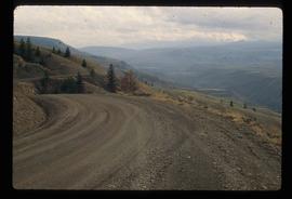
Image depicts a road somewhere in the Upper Fraser Canyon, and a view of the hills and trees.
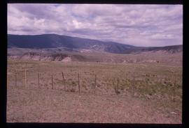
Image depicts the Upper Fraser Canyon.
Image depicts the Alkali Lake Ranch in Alkali Lake, B.C.
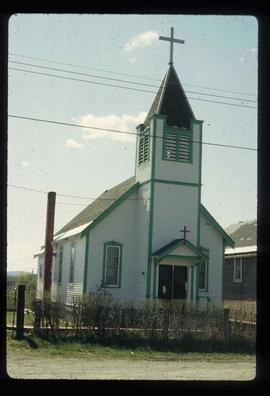
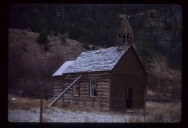
Image depicts an old church located somewhere in Lillooet, B.C.
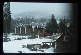
Image depicts what appears to be an apartment building among several others in an uncertain location.
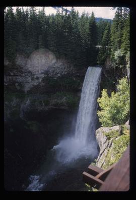
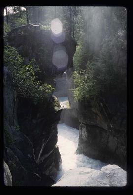
Image depicts Nairn Falls in Nairn Falls Provincial Park.
Image depicts Nairn Falls.
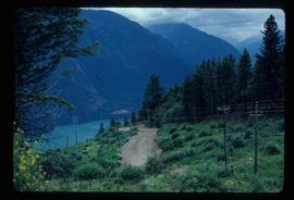
Image depicts a dirt road somewhere near Bralorne, B.C.
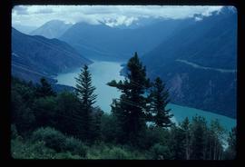
Image depicts an elevated view of a river near Bralorne, B.C.
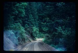
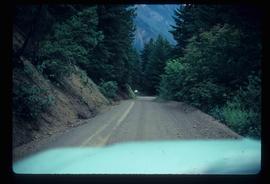
Image depicts a dirt road leading through a forest with what appears to be an area for turning around at the end.
Image depicts a car on a dirt road leading through a forest.
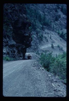
Image depicts a camper passing under an overhang as it drives along a narrow road near a cliff; located somewhere near Bralorne, B.C.
