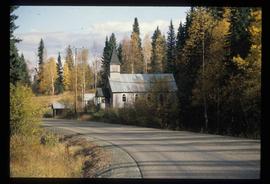
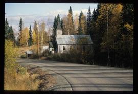
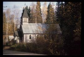
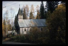
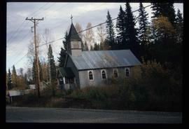
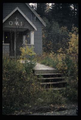
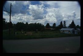
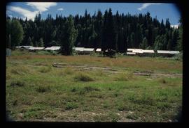
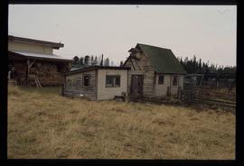
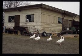
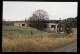
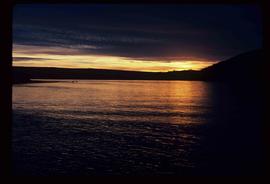
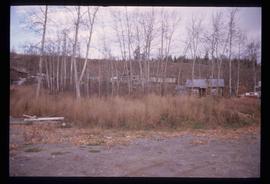
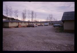
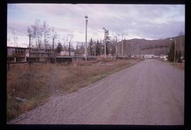
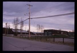
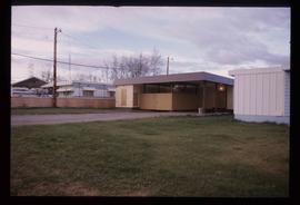
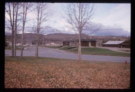
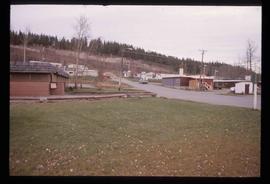
Image depicts the Oblates of Mary Immaculate Catholic Church in Aleza Lake, B.C. Map coordinates 54°07'08.2"N 122°02'00.0"W
Image depicts the Oblates of Mary Immaculate Catholic Church in Aleza Lake, B.C. Map coordinates 54°07'08.2"N 122°02'00.0"W
Image depicts the Oblates of Mary Immaculate Catholic Church in Aleza Lake, B.C. Map coordinates 54°07'08.2"N 122°02'00.0"W
Image depicts the Oblates of Mary Immaculate Catholic Church in Aleza Lake, B.C. Map coordinates 54°07'08.2"N 122°02'00.0"W
Image depicts the Oblates of Mary Immaculate Catholic Church in Aleza Lake, B.C. Map coordinates 54°07'08.2"N 122°02'00.0"W
Image depicts the Oblates of Mary Immaculate Catholic Church in Aleza Lake, B.C. Map coordinates 54°07'08.2"N 122°02'00.0"W
Image depicts the Oblates of Mary Immaculate Catholic Church in Aleza Lake, B.C. Map coordinates 54°07'08.2"N 122°02'00.0"W
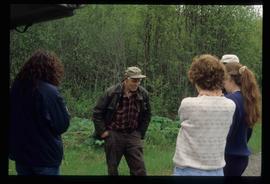
Image depicts a group of people somewhere in Willow River, B.C. The man in the plaid shirt and beige cap is identified on the slide as being Lloyd Edwards.
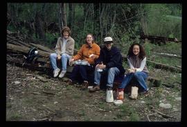
Image depicts four individuals sitting on a log, possibly somewhere near the Hansard Bridge, B.C. The individuals are UNBC faculty members Gail Fondahl, Tracey Summerville, Greg Halseth and an unidentified individual. The slide is labelled: "Hansard Bridge UNBC." Map coordinates 54°04'37.7"N 121°50'39.9"W
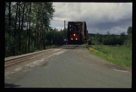
Image depicts a train on the Hansard Bridge across the Fraser River looking west. Map coordinates 54°04'37.7"N 121°50'39.9"W
Image depicts a playground in Willow River, B.C. The slide labels it as being a "former hotel site." Map coordinates 54°04'23.7"N 122°28'26.9"W
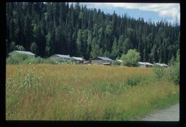
Image depicts a row of houses in Upper Fraser, B.C. Map coordinates 54°06'51.6"N 121°56'26.3"W
Image depicts a row of houses in Upper Fraser, B.C. Map coordinates 54°06'51.6"N 121°56'26.3"W
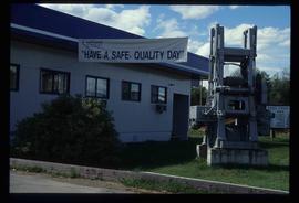
Image depicts the office at the Northwood Upper Fraser Saw Mill and a sign which reads "Have a safe, quality day." Map coordinates 54.117916, -121.943351
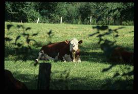
Image depicts a cow at an uncertain location.
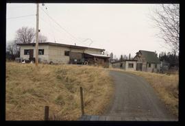
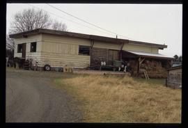
Image depicts a cookhouse at an uncertain location.
Image depicts a cookhouse at an uncertain location.
Image depicts two small sheds at an uncertain location. The slide labels them as "Giscome bldgs in Blackburn."
Image depicts a cookhouse at an uncertain location.
Image depicts a cookhouse at an uncertain location.
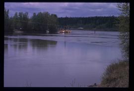
Image depicts what appears to be a ferry crossing a river at an uncertain location.
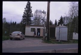
Image depicts two unidentified individuals speaking to each other in the doorway of what appears to be a mobile home. The location is uncertain.
Image depicts the new Hansard Bridge. Map coordinates 54°04'57.9"N 121°51'10.1"W
Image depicts the new Hansard Bridge. Map coordinates 54°04'57.9"N 121°51'10.1"W
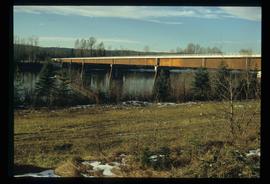
Image depicts the Hansard railroad bridge taken from the new Hansard vehicle bridge. Map coordinates 54°04'58.1"N 121°50'58.0"W
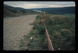
Image depicts a road with a guardrail and open fields somewhere near Dawson Creek, B.C.
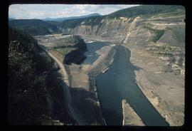
Image depicts a section of the Peace River blocked off by the W.A.C. Bennett Dam. The dam itself is not visible in the image.
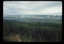
Image depicts an area of forests and fields somewhere near Fort St. John, B.C.
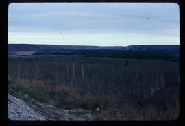
Image depicts a section of forest located somewhere in the Peace River Regional District of B.C.
Image depicts a dam on what is possibly the Peace River.
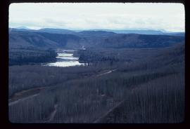
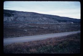
Image depicts what is possibly the Peace River running parallel to a road, possibly Highway 29.
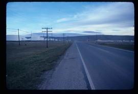
Image depicts a stretch of highway, possibly Highway 29 or 97.
Image depicts a street of shops at an uncertain location somewhere in the Peace River Regional District. A pink and blue building, possibly a theatre, is labelled "Lux."
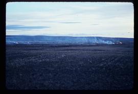
Image depicts grass burning at an uncertain location in the Peace River Region.
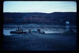
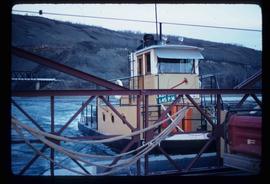
Image depicts the Clayhurst Ferry on the Peace River.
Image depicts the Clayhurst Ferry on the Peace River.
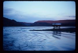
Image depicts the Peace River, possibly near Clayhurst or Hudson's Hope, B.C.
Image depicts the Peace River, possibly near Clayhurst or Hudson's Hope, B.C.
Image depicts a cabin and several other buildings, possibly located in Hudson's Hope, B.C.
Image depicts what appears to be a motel in Hudson's Hope, B.C. The slide is labelled "camp HH."
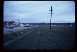
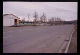
Image depicts a road and numerous buildings in Hudson's Hope, B.C.
Image depicts what appears to be a Fire Hall in Hudson's Hope, B.C.
Image depicts two houses in Hudson's Hope, B.C.
Image depicts what appears to be a Fire Hall in Hudson's Hope, B.C.
Image depicts a street in Hudson's Hope, B.C.
Image depicts a street with a building which is labelled "MacKeigan Enterprises Ltd." in Hudson's Hope, B.C.
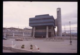
Image depicts the W.A.C. Bennett Dam in Hudson's Hope, B.C.
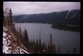
Image depicts the Peace River, possibly near Hudson's Hope, B.C.
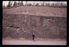
Image depicts an unidentified individual standing in front of a rock face with visible sediment layers. Located somewhere in the Peace River Region, possibly near Hudson's Hope.
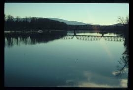
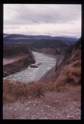
Image depicts what is possibly the Peace River.
