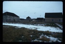
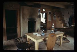
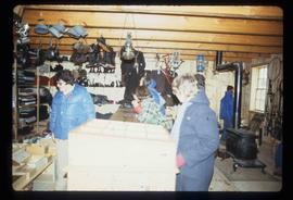
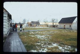
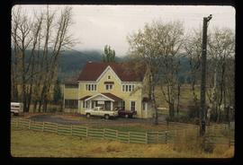
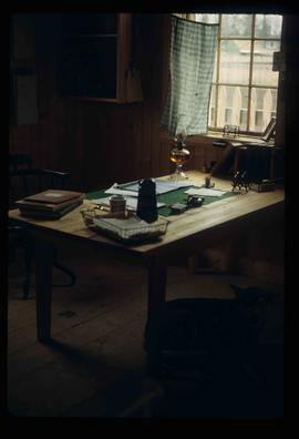
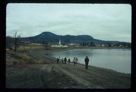
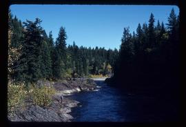
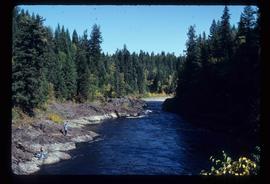
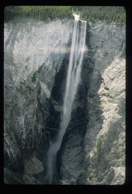
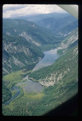
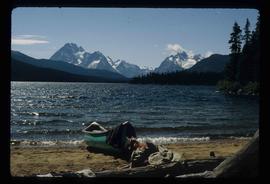
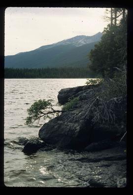
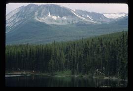
Showing 4951 results

Archival description
3026 results with digital objects Show results with digital objects
Slump?
2012.13.1.50.118 · Item · 1980
Part of J. Kent Sedgwick fonds

Image depicts two unknown individuals standing near what is most likely a slump slide at an uncertain location.

2012.13.1.89.084 · Item · [1980?]
Part of J. Kent Sedgwick fonds

Image depicts Giscome with the school on the left, the remnants of the town site in the middle and the church on the right. Map coordinates 54°03'58.2"N 122°22'04.8"W

Tomb Stone
2012.13.1.6.156 · Item · Nov. 1980
Part of J. Kent Sedgwick fonds

Image depicts an old tomb stone at an uncertain location, possibly Fort St. James, B.C.

Lake
2012.13.1.6.162 · Item · Nov. 1980
Part of J. Kent Sedgwick fonds

Image depicts a lake with numerous buildings along the shore. The location is uncertain.

"BC5553 No 237"
2012.13.2.11.04.4 · Item · [ca. 1980]
Part of J. Kent Sedgwick fonds

The item is a reproduction of an aerial photograph of Prince George. Annotation states, "City of Pr. Geo. 1958 Aereal Photo CBD."

Birds, Wildlife
2012.13.1.113 · Subseries · [between 1978 and 1980]
Part of J. Kent Sedgwick fonds

File contains slides depicting birds and wildlife at unknown locations.

Forestry Heavy Machinery
2012.13.1.122.28 · Item · May 1980
Part of J. Kent Sedgwick fonds

Image depicts an unidentified individual examining a piece of heavy machinery used in the forestry industry. It is located in Prince George, B.C.

2012.13.2.02.28 · File · 1980
Part of J. Kent Sedgwick fonds

File consists of notes, clippings, and reproductions relating to James C. Anderson and engineer J. Gill. James Anderson arrived in Fort George in 1912. Anderson did topographical surveys of the Fort George area for the Grand Trunk Pacific Railway between 1912 and 1913. Engineer J. Gill did a topographical survey of the Indian reserve for the Grand Trunk Pacific in 1912. Includes "Grand Trunk Pacific Maps" typescript document by Kent Sedgwick (3 June 1980).

Penny train station
2012.13.2.15.21.01 · Item · [ca. 1980]
Part of J. Kent Sedgwick fonds

The photograph depicts a man and a woman standing outside Penny Station. The first-floor windows are boarded up and one of the upper windows has broken glass.

Penny train station
2012.13.2.15.21.02 · Item · [ca. 1980]
Part of J. Kent Sedgwick fonds

The photograph depicts Penny train station next to the train tracks. Annotation on reverse side of photograph states, "Penny formerly at Lindup." Annotation on 35 mm slide states, "Penny."

Penny train station
2012.13.2.15.21.04 · Item · [ca. 1980]
Part of J. Kent Sedgwick fonds

The photograph depicts Penny train station next to the train tracks. Annotation on slide states, "0117 Penny."

Dunster train station
2012.13.2.15.22.1 · Item · [ca. 1980]
Part of J. Kent Sedgwick fonds

The photograph depicts Dunster train station next to twinned train tracks. Annotation on slide states, "Dunster."

Peace River field trip
2012.13.2.19.15 · File · 1979-1980
Part of J. Kent Sedgwick fonds

File consists of notes and reproductions relating to a field trip in May 1979 for the College of New Caledonia to the Peace River Region, including the Pine Pass lookout; Dawson's Creek; Chetwynd; Hudson's Hope; and the W.A.C. Bennett Dam. Includes: "Peace River" duotang with resources compiled by Kent Sedgwick (1979) and "Bird's eye view of Fort St. John" postcard from Fort St. John (1980).

"Cottonwood River"
2012.13.2.20.01.1 · Item · 1980
Part of J. Kent Sedgwick fonds

The item is a map depicting the area surrounding the Cottonwood River in the Cariboo Land District. Various annotations are mad in pen on the map.

Waterfall
2012.13.1.46.17 · Item · 1980
Part of J. Kent Sedgwick fonds

Image depicts an aerial view of a waterfall in South Tweedsmuir Provincial Park.

A Lake
2012.13.1.46.20 · Item · 1980
Part of J. Kent Sedgwick fonds

Image depicts an aerial view of a lake in South Tweedsmuir Provincial Park.

A Lake
2012.13.1.46.24 · Item · 1980
Part of J. Kent Sedgwick fonds

Image depicts a lake in South Tweedsmuir Provincial Park. There is a canoe present on the shore.

A Lake
2012.13.1.46.36 · Item · 1980
Part of J. Kent Sedgwick fonds

Image depicts a lake in South Tweedsmuir Provincial Park.

Camp
2012.13.1.46.44 · Item · 1980
Part of J. Kent Sedgwick fonds

Image depicts an unknown individual eating in a camp somewhere in South Tweedsmuir Provincial Park.

Disturbed Ground
2012.13.1.50.119 · Item · 1980
Part of J. Kent Sedgwick fonds

Image depicts an area of disturbed ground, most likely due to a landslide, at an unknown location.