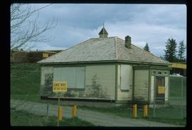
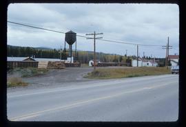
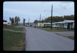
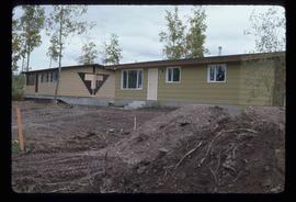
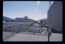
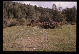
Image depicts numerous buildings in Hendrix Lake, B.C.
Image depicts the Bohanon House in Quesnel, B.C.
Image depicts the old jail house in Soda Creek, B.C.
Image depicts an old building located somewhere are the Pickard farm north of Soda Creek, B.C.
Image depicts the old school at 150 Mile House, with what is likely the modern school visible in the background.
Image depicts the Flying U Ranch at 70 Mile House, B.C.
Image depicts a barn with large, Harvestore Systems. It is possibly located on one of the many farms near Vanderhoof, B.C.
Image depicts an old, collapsing house at the Nautley site in Fort Fraser, B.C.
Image depicts a general store in Quick, B.C.
Image depicts Skeena Crossing, B.C.
Image depicts a man, possibly Kent Sedgwick, leaning against a sign forbidding public traffic on the Stewart Access Road from between 5 am to 8 pm. Located in Hazelton, B.C.
Image depicts a number of people standing at what appears to be a farm fishery [?] on the Fulton River.
Image depicts the entrance of the Fulton River.
Image depicts a large gathering of people in the interior of a First Nations' longhouse located in the historical village of 'Ksan in Hazelton, B.C.
Image depicts a view of Bulkley Valley.
Image depicts the 'Ksan historical village in Hazelton, B.C.
Image depicts a train passing through Endako, B.C.
Image depicts a row of houses in Fraser Lake, B.C.
Image depicts a couple of houses in Fraser Lake, B.C.
Image depicts numerous totem poles in Kispiox, B.C.
Image depicts the entrance to the historical village of 'Ksan in Hazelton, B.C.
Image depicts the historical village of 'Ksan in Hazelton, B.C.
Image depicts the dock for ferries in Isle Pierre, B.C.
Image depicts a church on a hill in Hagwilget, B.C.
Image depicts a church on a hill in Moricetown, B.C.
Image depicts the interior of the ferry at Southbank, B.C.
Image depicts the welcome sign in Burns Lake, B.C.
Image depicts the cemetery in Hazelton, B.C.
Image depicts Nautley and the Nautley River near Fraser Lake, B.C.
Image depicts a section of land on the east end of Francois Lake. The lake is visible in the distance.
Image depicts the Chimney Lake Lodge.
Image depicts what appears to be a small ranch. The slide is labelled "Becher's Prairie," possibly meaning Becher's Prairie Provincial Park in B.C.
Image depicts two women at a table; the one on the right is possibly Sue Sedgwick. The image may have been taken in Meldrum Creek, B.C.
Image depicts a small graveyard at an uncertain location.
Image depicts a red carriage labelled in yellow "B.C. Express Co. No. 20." It is possibly located in Kamloops, B.C.
Image depicts a large crowd of people seated inside the St. Joseph's Roman Catholic Church in Kamloops, B.C.
Image depicts a tombstone, with the name and inscription written in what appears to be Chinese. It is most likely located somewhere in or near Kamloops, B.C.
Image depicts the interior of a mall somewhere in Kitimat, B.C.
Image depicts several buildings in Kitimat, with the Bay being the tall one on the left.
Image depicts a totem pole in Kitwanga, B.C.
Image depicts two old, overgrown and collapsing buildings, as well as a metal frame; it is located somewhere in Kitwancool, B.C.
Image depicts a bridge over the Nass River.
Image depicts an old building which has collapsed into a pile of wood, possibly in Quesnelle Forks.
Image depicts numerous abandoned and ruined cabins at Quesnelle Forks.
Image depicts an old, half-collapsed house in Likely, B.C.. The slide labels it as "Bullion house."
Image depicts the Cariboo Lake, with the roof of an old log cabin visible.