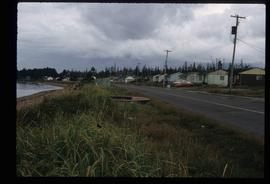
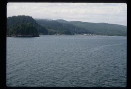
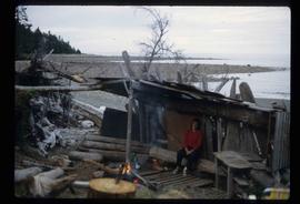
2012.13.1.83.09
·
Item
·
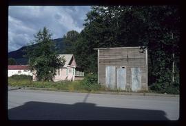
1979
Part of J. Kent Sedgwick fonds
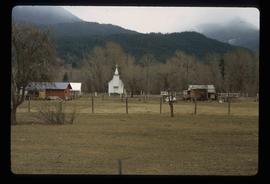
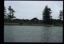
Image depicts the Robert Stewart house, built in 1910 and inhabited by the Stewart family until 1945. It is located in Stewart, B.C.