2012.13.1.52.32
·
Pièce
·
1980
Fait partie de J. Kent Sedgwick fonds
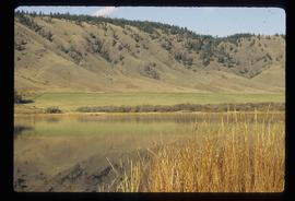
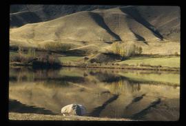
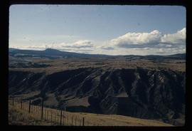
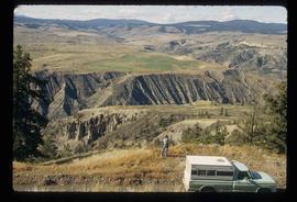
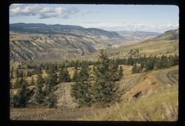
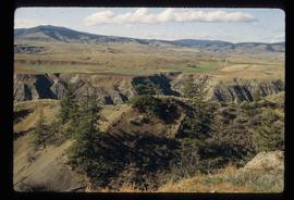
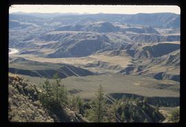
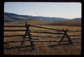
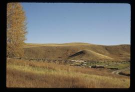
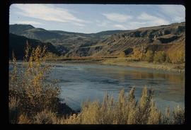
Image depicts a view of the upper Fraser Canyon.