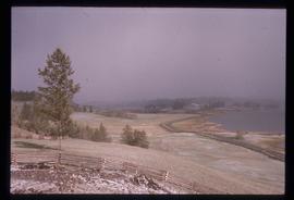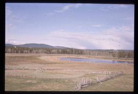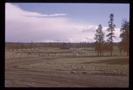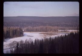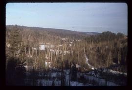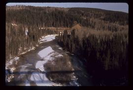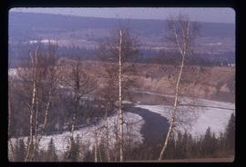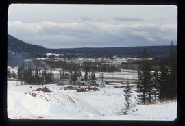
2012.13.1.50.087
·
Item
·
[1978?]
Part of J. Kent Sedgwick fonds
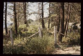
Image depicts the cemetery in Soda Creek, B.C.