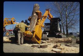
Image depicts two unidentified individuals examining a thick log still attached to the machine that cut it down. It is located somewhere in Prince George, B.C.
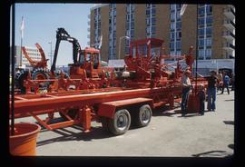
Image depicts several pieces of heavy machinery used in forestry. The Coast Inn of the North is seen in the background.
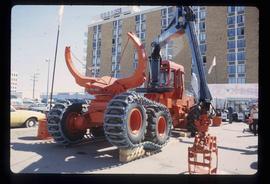
Image depicts several pieces of heavy machinery used in forestry. The Coast Inn of the North is seen in the background.
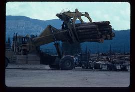
Image depicts a piece of heavy machinery lifting numerous logs off the back of a logging truck. It is likely located in Prince George, B.C.
File consists of photocopies and notes relating to the boundary expansions of the city of Prince George since its incorporation. Includes a graph drawn by Kent Sedgwick regarding the addition of land and water each year of the boundary expansion and a "Proclamation" photocopy from the B.C. Gazette (23 Apr. 1953). Also includes 5 maps: "City of Prince George Boundary Expansions since Incorporation in 1915" (1979 or 1980); "City of Prince George" (Feb. 1979); "Map of Prince George" (between 1970 and 1985); "Study Area Boundaries" (Mar. 1977); and "City of Prince George" (Feb. 1972).
File consists of notes and reproductions relating a 1913 amendment to the Land Act, which is the British Columbia legislation used by the government to transfer land to the public for community, industrial, or business use. The 1913 amendment stated that land would be free to settlers with proof of three years residence or pre-empting unsurveyed or crown land after March 1913. File primarily consists of photocopied newspaper articles discussing the amendment.
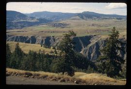
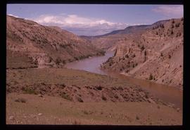
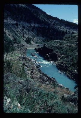
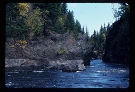
Image depicts a view of the eastern part of the upper Fraser Canyon.
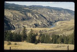
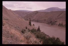
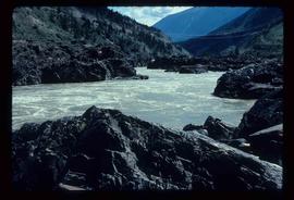
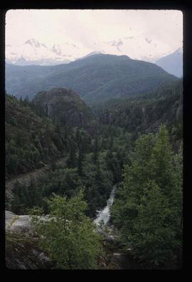
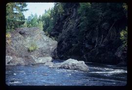
Image depicts the Fraser River passing through the upper Fraser Canyon.
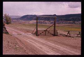
Image depicts the Upper Fraser Canyon from what appears to be the entrance to Gang Ranch.
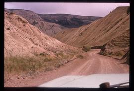
Image depicts a road near or on Gang Ranch in the Upper Fraser Canyon.
Image depicts the Fraser River near Gang Ranch in the Upper Fraser Canyon.
Image depicts a bridge over the Fraser River in the Upper Fraser Canyon; possibly near Gang Ranch.
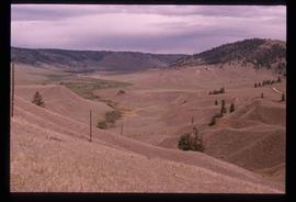
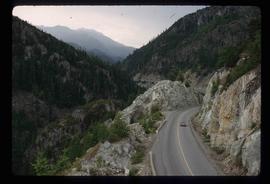
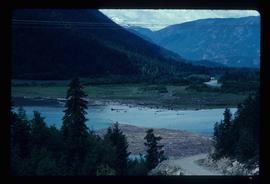
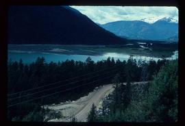
Image depicts a view of the Upper Fraser Canyon.
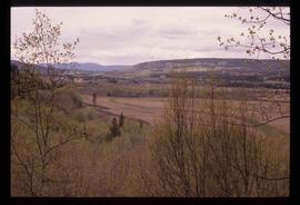
Image depicts a view of some of the scenery near the Upper Fraser Canyon.
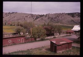
Image depicts the Alkali Lake Ranch in Alkali Lake, B.C.
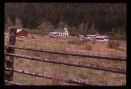
Image depicts a church and several other buildings in Canoe Creek.
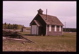
Image depicts an old building at an uncertain location. The slide is simply labelled "Spring house."
Image depicts Lillooet, B.C.
Image depicts the Fraser River near Lillooet, B.C.
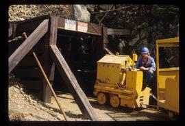
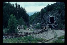
Image depicts the entrance to a mine with an unknown individual present. It is possibly the entrance to the closed Britannia Mine in the Howe Sound Region.
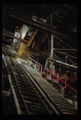
Image depicts a conveyor belt, possibly located inside one of the old buildings at what is possibly the closed Britannia Mine.
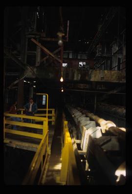
Image depicts a piece of industrial machinery, possibly located at the closed Britannia Mine. Two unknown individuals are also present in the image.
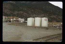
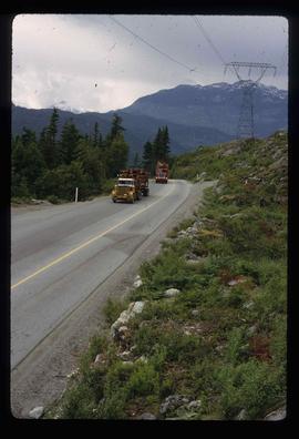
Image depicts two trucks on a road at an uncertain location.
Image depicts a view of Nairn Falls Provincial Park.
Image depicts a view of Nairn Falls Provincial Park.
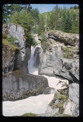
Image depicts Nairn Falls.
Image depicts a creek somewhere near Bralorne, B.C.
Image depicts a view of a river near Bralorne, B.C.
Image depicts a view of a river near Bralorne, B.C.
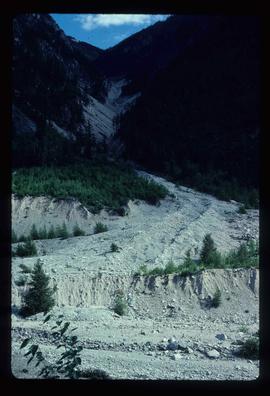
Image depicts what is possibly the remaining traces of a small land or rock slide; located somewhere near Bralorne, B.C.
Image depicts a river somewhere near Bralorne, B.C.
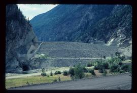
Image depicts the Terzaghi Dam viewed from the downstream side near Bralorne B.C.
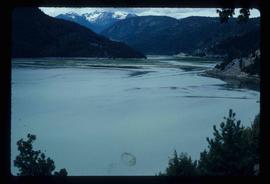
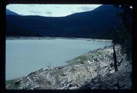
Image depicts Downton Lake, the Lajoie Dam reservoir.
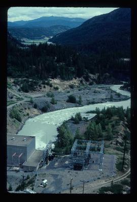
Image depicts the Lajoie hydroelectric generating station at the Lajoie Dam on the Bridge River (view of powerhouse and tailrace from top of dam).
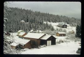
Image depicts what is possibly an old, rundown mill in Bralorne, B.C.
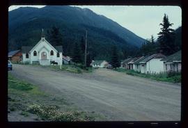
Image depicts a church and a row of houses in Bralorne, B.C.
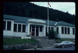
Image depicts the old sales office of Bralorne Pioneer Mines Ltd. which is now the Bralorne Pioneer Museum.
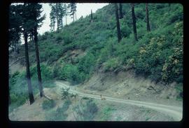
Image depicts a deer on a path somewhere near Bralorne, B.C.
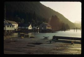
Image depicts a number of houses built on stilts over a body of water in an uncertain location.
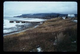
Image depicts a partially frozen lake, most likely Stuart Lake in Fort St. James, B.C.
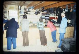
Image depicts the interior of the historic Hudson's Bay Company Trading Post, with several unknown individuals present, in Fort St. James, B.C.
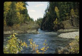
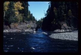
Image depicts the Blackwater River.
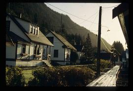
Image depicts a number of houses at an uncertain location, possibly Williams Lake, B.C.
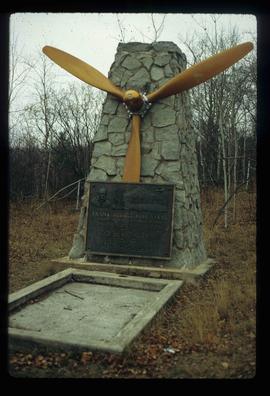
Image depicts the grave of Frank Russell "Russ" Baker in Fort St. James, B.C.
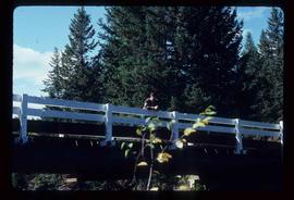
Image depicts a bridge over Blackwater River, with an unknown individual standing on it.
Image depicts Blackwater River.
Image depicts Blackwater River.
Image depicts Blackwater River.
Image depicts many houses somewhere in Wells, B.C.
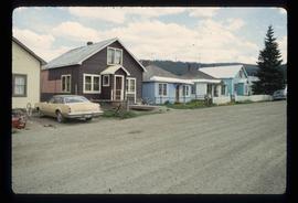
Image depicts a row of houses somewhere in Wells, B.C.
