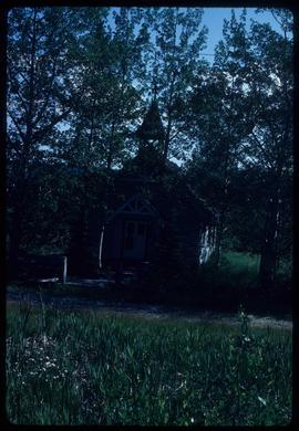
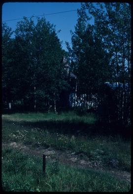
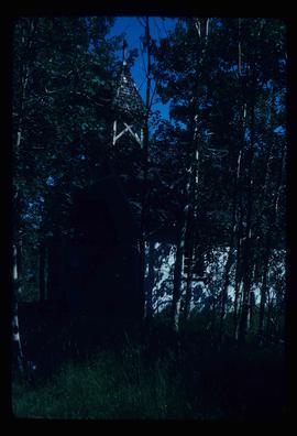
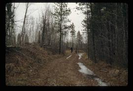
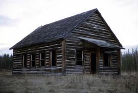
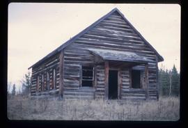
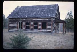
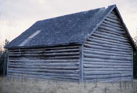
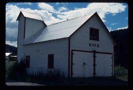
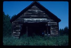
Showing 3026 results

Archival description
Woodpecker Ranch
2012.13.1.41.01 · Item · 1980
Part of J. Kent Sedgwick fonds

Image depicts the grade for the British Columbia Railway, which was formerly known as the Pacific Great Eastern until 1972. It is located somewhere near the Woodpecker Ranch in Woodpecker, B.C.

Woodpecker Ranch
2012.13.1.41.02 · Item · 1980
Part of J. Kent Sedgwick fonds

Image depicts the grade for the British Columbia Railway, which was formerly known as the Pacific Great Eastern until 1972. It is located somewhere near the Woodpecker Ranch in Woodpecker, B.C. There are two unknown individuals present in the image.

Woodwards
2012.13.1.3.029 · Item · Oct. 1975
Part of J. Kent Sedgwick fonds

Image depicts Parkwood Place taken from Connaught Hill looking west with the hospital in the background. Map coordinates 53°54'39.9"N 122°45'02.5"W

Wrecked Plane
2012.13.1.46.42 · Item · 1980
Part of J. Kent Sedgwick fonds

Image depicts Kent Sedgwick standing beside a wrecked plane somewhere in South Tweedsmuir Provincial Park.

Writing on a Rock
2012.13.1.56.73 · Item · 1973
Part of J. Kent Sedgwick fonds

Image depicts an unknown individual pointing at some writing on a rock; it possibly reads "ACC Aug 10 1911."

Yellowhead Bridge
2012.13.1.3.120 · Item · 12 Oct. 1989
Part of J. Kent Sedgwick fonds

Image depicts the Yellowhead Bridge across the Fraser River. Map coordinates 53°54'45.2"N 122°43'27.9"W

Yellowhead Pass?
2012.13.1.85.03 · Item · 1970
Part of J. Kent Sedgwick fonds

Image depicts a view of what is possibly the Yellowhead Pass on the British Columbia-Alberta border, west of Jasper A.B.