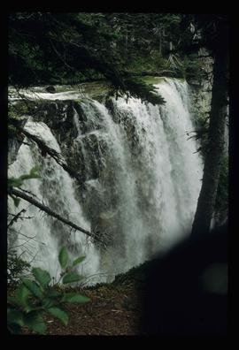
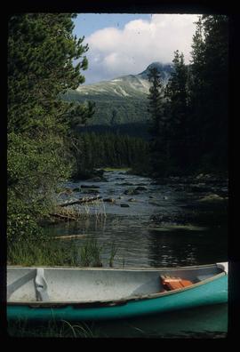
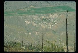
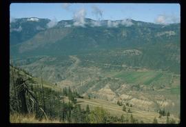
2012.13.1.53.17
·
Pièce
·
June 1974
Fait partie de J. Kent Sedgwick fonds
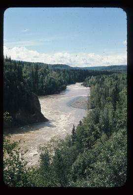
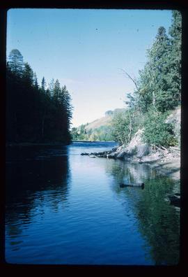
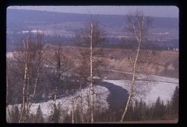
Image depicts the Fraser River near Lillooet, B.C.