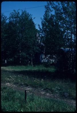
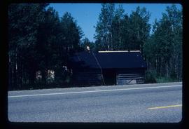
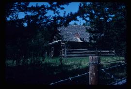
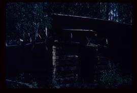
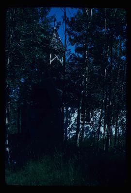
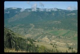
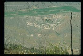
Image depicts the grave of John A. Fraser in Barkerville, B.C.
Image depicts Blackwater River.
Image depicts a church in Woodpecker, B.C.
Image depicts a log cabin, with a few unknown individuals working on the roof, in Woodpecker, B.C.
Image depicts the old school in Woodpecker, B.C.
Image depicts the Bachelor's Hall in Woodpecker, B.C.
Image depicts a church in Woodpecker, B.C.
Image depicts an old, rundown building in Dunster, B.C. Possibly a disused Rail Station.
Image depicts an old log cabin in Salmon Valley.
Image depicts an old log house with a collapsing roof in Salmon Valley.
Image depicts the Alkali Lake Ranch in Akali Lake, B.C.
Image depicts a shed in an unknown location.
Image depicts a condominium, possibly in Prince Rupert, B.C.
Image depicts a house which is possibly in Prince Rupert, B.C.
Image depicts an old building with a sign labelled "Northern Rooms" in an uncertain location somewhere in Prince George, B.C.
Image depicts a cemetery in the South Fort George suburb of Prince George, B.C.
Image depicts the south side of 3rd Ave in Prince George, B.C.
Image depicts the Europe Hotel on the south side of 3rd Ave in Prince George, B.C.
Image depicts a wooden structure at Gang Ranch. It is possibility an elevated water trough.
Image depicts a view of the property of the Gang Ranch.
Image depicts the Fraser River in the upper Fraser Canyon.
Image depicts an unknown woman on a road in the upper Fraser Canyon.
Image depicts the grave of W.L. Meason in the upper Fraser Canyon.
Image depicts Gang Ranch, with a sign warning that the area is patrolled by Range and Logging Patrols, in the Upper Fraser Canyon.
Image depicts Gang Ranch in the Upper Fraser Canyon.
Image depicts a couple of old buildings, and a field full of tree trunks and dead wood. Located somewhere in or around the Upper Fraser Canyon.
Image depicts a view of the Upper Fraser Canyon. The Fraser River is visible.
Image depicts the Fraser River running through the Upper Fraser Canyon.
Image depicts the Alkali Lake Ranch in Alkali Lake, B.C.
Image depicts a house and numerous rundown vehicles in Dog Creek, B.C.
Image depicts a house located somewhere in or near Canoe Creek.
Image depicts a view of Canoe Creek.
Image depicts several old buildings at an uncertain location. The slide is simply labelled "Spring house?"
Image depicts the Fraser River somewhere in the Lillooet area.
Image depicts a gathering of people for an uncertain event at an uncertain location, possibly in Lillooet, B.C. A few tents are set up in the picture.
Image depicts the Fraser River near Lillooet, B.C.
Image depicts the Fraser River running through the Moran Canyon near Lillooet, B.C.
Image depicts a view of Kelly Lake in Downing Provincial Park.
Image depicts rows of water, possibly being irrigation ditches, somewhere in Lillooet, B.C.
Image depicts the Fraser River near Lillooet, B.C.
Image depicts two bridges over the Fraser River, located somewhere in Lillooet, B.C.
Image depicts a view of Moran Canyon in the Lillooet area.
Image depicts an old earth flow in Moran Canyon, somewhere in the Lillooet area.
Image depicts an old earth flow somewhere near Pavilion, B.C.