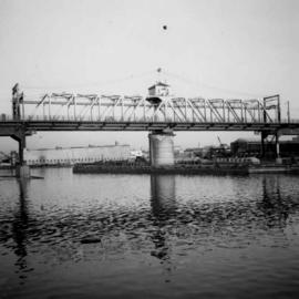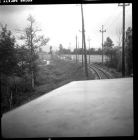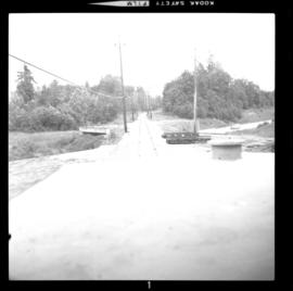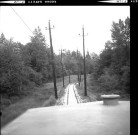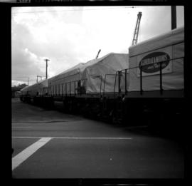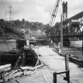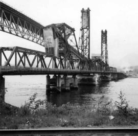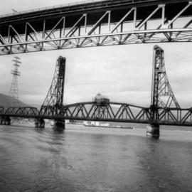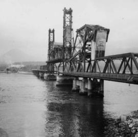
2013.6.36.1.001.39
·
Item
·
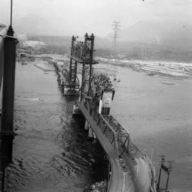
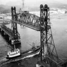
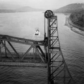
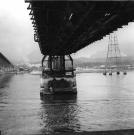
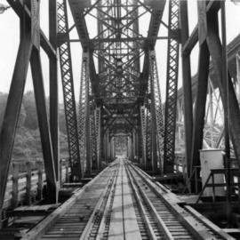
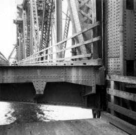
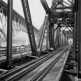
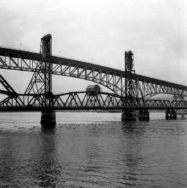
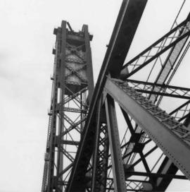
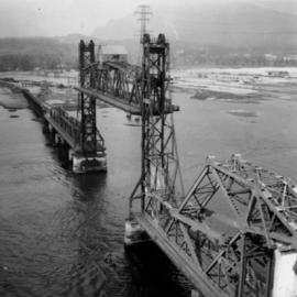
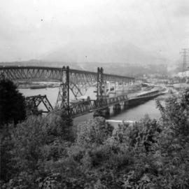
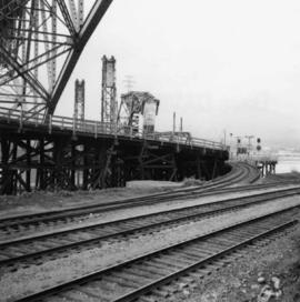
[May 1965]
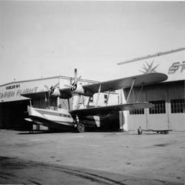
Part of David Davies Railway Collection
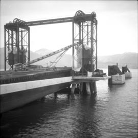
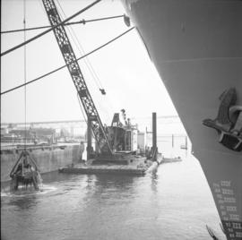
Photograph depicts the span of the Second Narrows bridge lifting from the southwest bank of Vancouver, BC