Real estate map depicts the areas around Coquitlam, Port Coquitlam, and Port Moody, including rail trackage.
Map depicts the Abbotsford area, including railway lines.
Map depicts historical rail lines in the BC lower mainland, including trackage for the BC Electric Railway, the Canadian Northern Pacific Railway, the Canadian Pacific Railway, the Great Northern Railway, and the Pacific Great Eastern Railway, among others.
Map depicts the Canadian National Railway system, including trackage for the Central Vermont Railway, the Detroit & Toledo Shore Line Railroad, the Grand Trunk Western Railroad, the Duluth Winnipeg & Pacific Railway, and the Northern Alberta Railway.
Map depicts the province of British Columbia. Includes rail lines and historical notes about the province.
Map depicts Canadian railways in operation at 2011.
Map depicts railway lines in the state of Washington, including those crossing over the border into British Columbia.
Map depicts all current rail lines in Western Canada and Alaska and major railway stations. Includes insets for Alaska & Yukon, Edmonton area, Winnipeg area, and the Vancouver area.
Map depicts south eastern British Columbia, with highlighted annotations by Davies to emphasize location of rail lines.
Map depicts railways in British Columbia, with insets for the Lower Mainland and the Kootenays.
Hand drawn draft map depicts historical railway routes in British Columbia. Includes dates and annotated information about rail lines.
Government map depicts railway lands, lands "disposed of", grazing leases, and timber berths. Shows the British Columbia 'railway belt' running from Greater Vancouver to Field, B.C.
Series consists of large format maps and plans relating to railways in British Columbia and Canada. Also includes oversize documents.
Series consists of employee timetables for the Canadian Pacific Railway, the Canadian National Railway, the Pacific Great Eastern Railway, BC Rail, the Great Northern Railway, the Great Northern Railway, the Burlington Northern Railway, the BC Electric Railway, and the BC Harbours Board Railway. Also known as “working timetables”, these are a valuable research tool that include timings at every station or other significant location along the train's journey, the train's reporting number, its maximum speed, and any other information relevant to the operation of the train.
Series consists of articles, clippings, and other research material related to rolling stock used on British Columbia railways. Although the term “rolling stock” encompasses all vehicles that move on a railway, some material regarding rolling stock is filed separately, such as locomotives (see series 2013.6.11). Includes information about passenger cars, freight cars, and non-revenue cars (cabooses, cranes, service cars, etc.).
Series consists of research material relating to steam and diesel locomotives that were used on British Columbia railways. Includes information about the steam to diesel transition period, details about specific locomotives, locomotive manufacturers, and self-propelled coaches.
Series consists of general histories, statistics, and sources for railway subjects, which predominantly consist of photocopy reproductions and clippings from periodicals. Most documents are Canada-wide in scope.
The David Davies Railway Collection encompasses all facets of railway history specifically in the province of British Columbia and the Yukon territory. The collection consists of research material accumulated over the course of more than fifty years, and includes monographs, periodicals, articles, clippings, railway timetables, photographs, maps and plans, and excerpts. Material covers public, tourist, and private (industrial) railways, including: CPR, KVR, E&N; CNR, CNoR, GTPR; and PGER, BCR. The collection excludes material regarding streetcar systems and rapid transit, but includes long distance electric interurbans.
The item is a CD-R containing Kent Sedgewick's files regarding the Upper Fraser Valley history. Files include literature summaries, oral history transcripts and various other documents referring to the Upper Fraser Valley. Annotations on CD-R state, "Jun 7 '04 Kent - UF files to start."
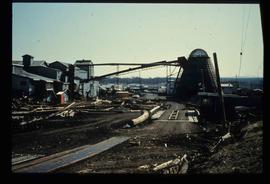
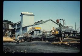
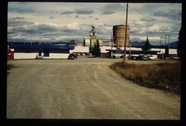
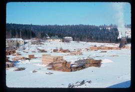
Image depicts what appears to be a saw mill belonging to Northwood. The location is uncertain.
Image depicts a view of a saw mill in Chetwynd, B.C.
Image depicts a view of a saw mill in Chetwynd, B.C.
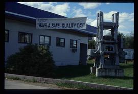
Image depicts the office at the Northwood Upper Fraser Saw Mill and a sign which reads "Have a safe, quality day." Map coordinates 54.117916, -121.943351
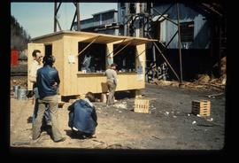
Image depicts a food stand at the mill site at Giscome, B.C. Map coordinates 54°04'19.7"N 122°22'04.7"W
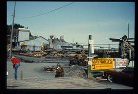
Image depicts the mill site at Giscome, B.C. A sign in the foreground reads "Maynard's Industrial Auctioneers." Map coordinates 54°04'19.7"N 122°22'04.7"W
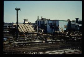
Image depicts the mill site at Giscome, B.C. Map coordinates 54°04'19.7"N 122°22'04.7"W
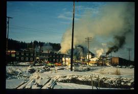
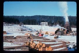
Image depicts the mill site at Giscome and its beehive burner. Map coordinates 54°04'19.7"N 122°22'04.7"W
Image depicts the mill site at Giscome, B.C. Map coordinates 54°04'19.7"N 122°22'04.7"W
Image depicts the mill site at Giscome, B.C. Map coordinates 54°04'19.7"N 122°22'04.7"W
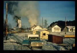
Image depicts several houses and the Giscome saw mill in Giscome, B.C. in the background. Map coordinates 54°04'20.9"N 122°21'53.1"W
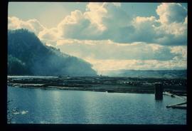
Image depicts numerous tree logs floating on a body of water. The location is uncertain, but is likely Eaglet Lake.
Image depicts numerous buildings at an uncertain location. A beehive burner and what appears to be a large pile of wood is visible in the background.
Image depicts the remains of a street of houses in Giscome, B.C. The quarry is slightly visible in the background. Map coordinates 54°04'20.9"N 122°21'53.1"W
Image depicts the Giscome mill site in Giscome, B.C. The bunkhouse is the large building with many windows. A train and railroad tracks are in the foreground. Map coordinates 54°04'17.6"N 122°22'06.1"W
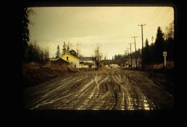
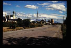
Image depicts the Upper Fraser Road running through Upper Fraser, B.C. A newer style round burner is seen in the background. Map coordinates 54°07'05.7"N 121°56'38.9"W
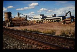
Image depicts numerous log decks at the Upper Fraser sawmill. Map coordinates 54°07'10.8"N 121°56'51.7"W
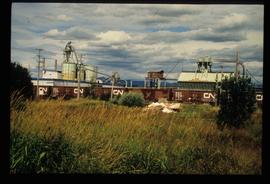
Image depicts the Upper Fraser mill yard with a CN train in Upper Fraser, B.C. Map coordinates 54°07'10.8"N 121°56'51.7"W
Image depicts the entrance to the Upper Fraser mill yard in Upper Fraser, B.C. Map coordinates 54°07'10.8"N 121°56'51.7"W
Image depicts the entrance to the Upper Fraser mill yard in Upper Fraser, B.C. Map coordinates 54°07'10.8"N 121°56'51.7"W
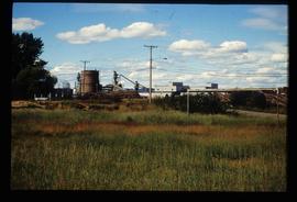
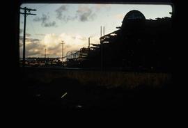
Image depicts Upper Fraser mill yard with log deck and beehive burner in silhouette across railroad tracks. Located in Upper Fraser, B.C. Map coordinates 54°07'01.5"N 121°56'29.6"W
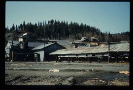
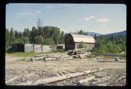
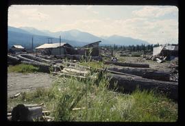
Image depicts what appears to be a part of the old, abandoned mill in Lamming Mills, B.C.
Image depicts what appears to be the old, abandoned mill in Lamming Mills, B.C.
Image depicts what appears to be a small mill in the community of Crescent Spur, B.C.
Image depicts what appears to be a small mill in the community of Crescent Spur, B.C.
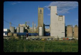
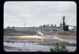
Image depicts a pulp mill in Port Edward, B.C.
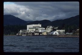
Image depicts the BC Packers Ltd. cannery in Prince Rupert, B.C.
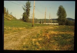
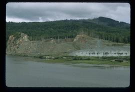
Image depicts the site of Giscome's first quarry, with Eaglet Lake located in the foreground.
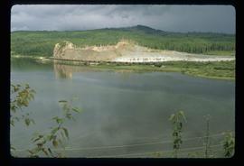
Image depicts the site of Giscome's first quarry, with a train passing by and Eaglet Lake located in the foreground.
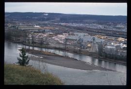
Image depicts a sawmill in Prince George, B.C.
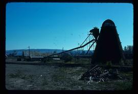
Image depicts a bee-hive burner beside a rail-road track at an unidentified mill somewhere in Prince George, B.C.
