2012.13.1.098
·
Deelreeks
·
1999
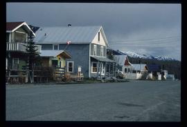
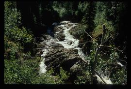
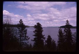
Part of J. Kent Sedgwick fonds
File contains slides depicting places around and between Skagway, on the Alaska border, Atlin and Miles Canyon.