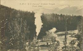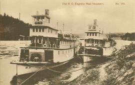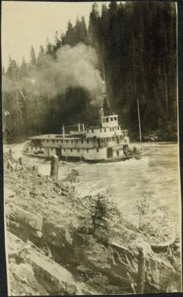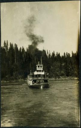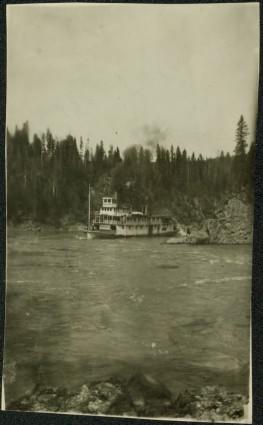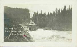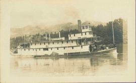
2014.10.1.472
·
Item
·
[ca. 1920]
Part of Arthur Holland Land Surveying Collection
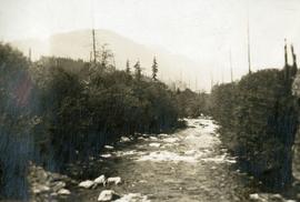
Photograph depicts three or more people bathing in a stream surrounded by forest.