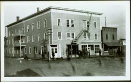
2010.13.09
·
Stuk
·
1912
Part of Prince George Historical Photograph Collection
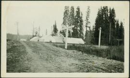
Winter scene with buildings, street, and utility poles. Hill in background.
Handwritten annotation on verso: “South Ft. George 1912”.