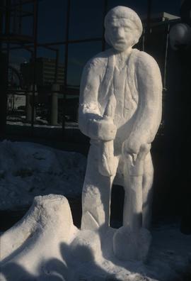
Image depicts a snow sculpture of a man with a shovel, possibly during the Winter City Conference, in Prince George, B.C. Taken at the Prince George Civic Center. Map coordinates 53°54'45.6"N 122°44'59.6"W
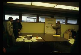
Image depicts a man holding up a board which appears to have maps of the Cottonwood Park on it.
Image depicts a view of the Millar Addition suburb in Prince George, B.C.
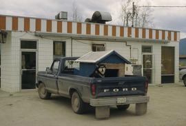
Image depicts a dog and dog house in the back of a pick-up somewhere near Prince George, B.C.
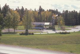
Image depicts Mr. P.G. and the Tourism Information site at the intersection of Highway 16 and 97. Map coordinates 53°53'46.5"N 122°46'00.7"W
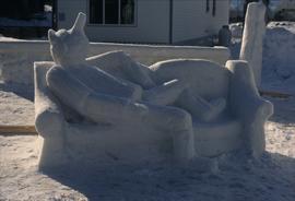
Image depicts a snow sculpture of the Mr. P.G. lounging on a couch, possibly during the Winter City Conference, in Prince George, B.C. Taken at the Prince George Civic Center. Map coordinates 53°54'45.6"N 122°44'59.6"W
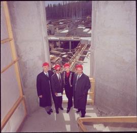
Left to right: Interior University Society President Murray Sadler, Prince George Mayor John Backhouse, Chancellor Iona Campagnolo, and President Geoffrey R. Weller.
Handwritten annotation on verso reads: “Construction of UNBC”.
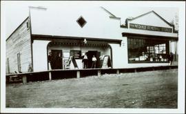
Photograph depicts two connected buildings; the building on the left is possibly the theatre, other building with sign that reads: "The Nechaco (sic?) General Stores." Boardwalk with people and unpaved street in foreground.
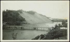
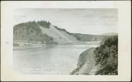
Photograph depicts bridge over Nechako River. Sloped cutbanks on opposite shore in background. Buildings and railroad tracks can be seen on town shore in right foreground.
Photograph depicts bridge over Nechako River. Sloped cutbanks on opposite shore in background. Railroad tracks can be seen on town shore in right foreground. Handwritten annotation on verso of photograph: "NECHAKO RIVER NEAR PRINCE GEORGE B.C. N.H.D."
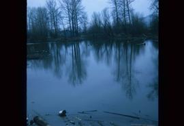
Image depicts a body of water in Island Cache. It is possibly a small section of the Nechako River.
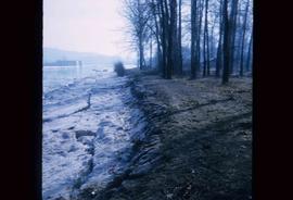
Image depicts the bank of the Nechako River at Island Cache.
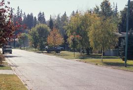
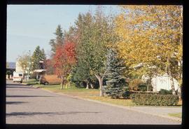
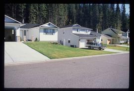
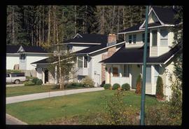
Image depicts a subdivision of Prince George, B.C.
Image depicts the Nechako Subdivision in Prince George, B.C.
Image depicts a neighbourhood on North Meadows Road in Prince George, B.C.
Image depicts a neighbourhood on North Meadows Road in Prince George, B.C.
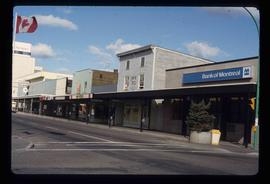
Image depicts the north side of 3rd Ave in Prince George, B.C.
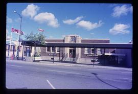
Image depicts the Canadian Forces Recruiting Centre on the north side of 3rd Ave in Prince George, B.C.
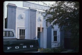
Image depicts an old building with a sign labelled "Northern Rooms" in an uncertain location somewhere in Prince George, B.C.
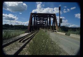
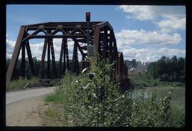
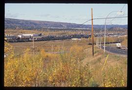
Image depicts the Northwood Bridge in Prince George, B.C.
Image depicts the Northwood Bridge in Prince George, B.C.
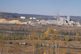
Image depicts the Northwood pulpmill in Prince George B.C.
Image depicts the Northwood pulpmill in Prince George B.C.
Image depicts the Northwood Pulpmill in Prince George, B.C. taken from above the Nechako River looking east. Map coordinates 53°56'00.0"N 122°44'29.7"W
Image depicts the Northwood pulpmill in Prince George B.C.
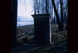
Image depicts what is likely an outhouse at Island Cache.
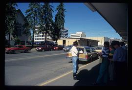
Image depicts a group of individuals on the sidewalk outside Spee-Dee Printers on Brunswick Street in Prince George, B.C.
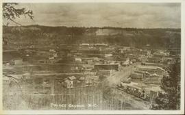
Overhead view of commercial buildings in downtown Prince George. Printed annotation on recto reads: "Prince George, B.C."
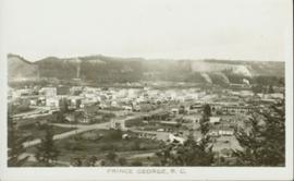
Overhead photograph of Prince George, BC ca. 1950 with hills in background. Annotation on recto reads: "Prince George, B.C."
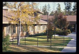
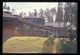
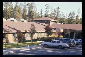
Image depicts Parkside Intermediate Care Home on Ospika Boulevard in Prince George. Map coordinates 53°55'02.6"N 122°47'41.6"W
Image depicts Parkside Intermediate Care Home on Ospika Boulevard in Prince George. Map coordinates 53°55'02.6"N 122°47'41.6"W
Image depicts Parkside Intermediate Care Home on Ospika Boulevard in Prince George. Map coordinates 53°55'02.6"N 122°47'41.6"W
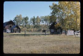
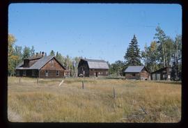
Image depicts the Pearson Homestead.
Image depicts the Pearson Homestead.
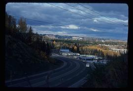
Image depicts a view of Peden Hill in Prince George, B.C.
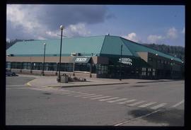
Image depicts the Prince George Multiplex.
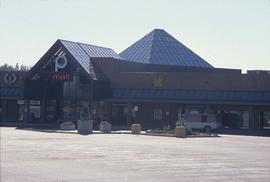
Image depicts Pine Centre Mall in Prince George, B. C. Map coordinates 53°53'53.2"N 122°46'36.4"W
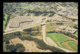
Image depicts an aerial view of Pine Centre Mall and Masich Place Stadium in Prince George, B.C.
Image depicts Pineview on Buckhorn Lake Road, Prince George, B.C.
Image depicts Pineview on Buckhorn Lake Road, Prince George, B.C.
Image depicts Pineview on Buckhorn Lake Road, Prince George, B.C.
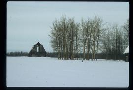
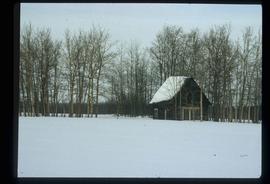
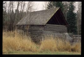
Image depicts an old barn somewhere in the Pineview subdivision in Prince George, B.C.
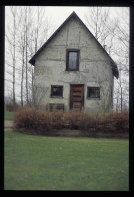
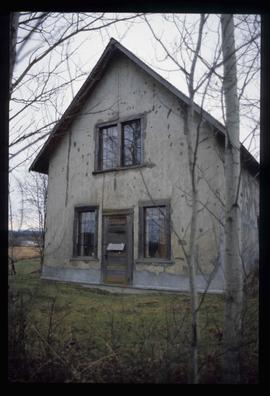
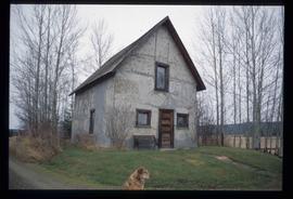
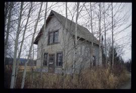
Image depicts an old Swedish style house somewhere in the Pineview subdivision in Prince George, B.C.
Image depicts an old Swedish style house somewhere in the Pineview subdivision in Prince George, B.C.
Image depicts an old Swedish style house somewhere in the Pineview subdivision in Prince George, B.C.
Image depicts an old Swedish style house somewhere in the Pineview subdivision in Prince George, B.C.
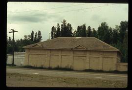
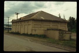
Image depicts a powerhouse in Prince George, B.C.
Image depicts a powerhouse in Prince George, B.C.
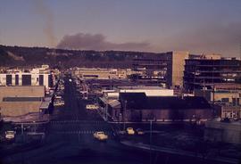
Image depicts a view of Prince George from City Hall looking northeast along George Street. Map coordinates 53°54'46.3"N 122°44'41.9"W
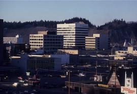
Image depicts downtown Prince George looking northwest. Map coordinates 53°54'48.7"N 122°44'45.6"W
