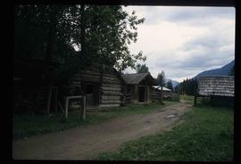
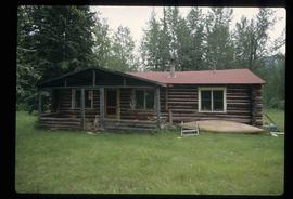
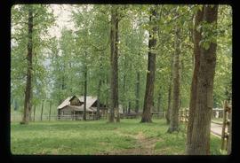
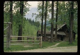
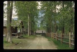
Image depicts a lake with a "Swim at Own Risk" sign at an uncertain location.
Image depicts a conveyor belt, possibly located inside one of the old buildings at what is possibly the closed Britannia Mine.
Image depicts a piece of industrial machinery, possibly located at the closed Britannia Mine. Two unknown individuals are also present in the image.
Image depicts the inside of a mine with an unknown individual present. It is possibly the inside of the closed Britannia Mine.
Image depicts a number of old buildings, possibly located at the closed Britannia Mine.
Image depicts an old building, possibly located at the closed Britannia Mine.
Image depicts the condominiums in the "Pemberton Valley Estates" in Pemberton, B.C.
Image depicts the entrance to a mine with an unknown individual present. It is possibly the entrance to the closed Britannia Mine in the Howe Sound Region.
Image depicts a farm near Pemberton, B.C.
Image depicts a train in an uncertain location, though it is possibly Howe Sound in the background.
Image depicts a train in an uncertain location.
Image depicts rail road tracks and several buildings in Pemberton, B.C.
Image depicts some power lines and mountains near Pemberton, B.C.
Image depicts what appears to be an apartment building among several others in an uncertain location.
Image depicts Highway 99 north of Squamish and near Pemberton, B.C.
Image depicts numerous power lines and a road somewhere north of Squamish.
Image depicts the Britannia Mine, which closed in 1974 and is now a museum. "Anaconda" was the last operating owner.
Image depicts the start of Joffre Creek Road, most likely somewhere in the Joffre Lakes Provincial Park.
Image depicts a bridge over Cayoosh Creek.
Image depicts a wood cabin with antlers somewhere in Mud River, B.C.
Image depicts a rail road bridge over the Mud River.
Image depicts a cabin somewhere in Mud River, B.C.
Image depicts a wood cabin with antlers and a moose head somewhere in Mud River, B.C.
Image depicts the Mount Robson Ranch.
Image depicts an old gas pump at the Mount Robson Ranch.
Image depicts the old trading post at Mount Robson Ranch.
Image depicts the Mount Robson Ranch.
Image depicts the interior of a house that appears to be abandoned and in disrepair in Island Cache.
Image depicts a number of sheds in Island Cache.
Image depicts a street in Island Cache.
Image depicts a wood pile in Island Cache.
Image depicts what appears to be an animal pen in Island Cache. There is a goat and numerous chickens in the image, as well as a pile of miscellaneous material.
Image depicts a few houses in Island Cache. There are two unknown individuals present.
Image depicts a damaged, upturned car in Island Cache.
Image depicts a backyard filled with various items piled against a shed in Island Cache.
Image depicts a house in Island Cache.