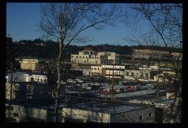
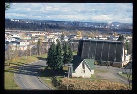
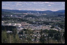
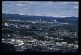
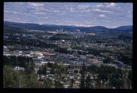
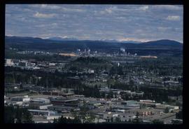
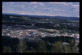
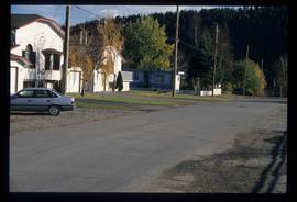
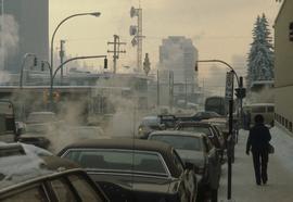
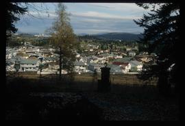
Image depicts Prince George, B.C.
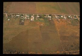
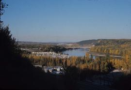
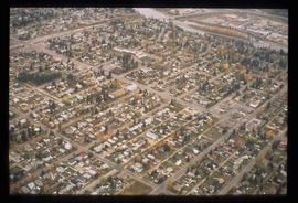
Image depicts an aerial view of what is possibly an outlying area of Prince George, B.C.
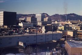
Image depicts downtown Prince George looking northwest across Dominion Street. Map coordinates 53°54'48.7"N 122°44'45.6"W
Image depicts Prince George, possibly with the Northwood Pulpmill in the background.
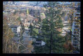
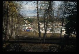
Image depicts Prince George with numerous trees obscuring most of the view.
Image depicts Prince George.
Image depicts Prince George from University Way, with the P.G.I pulp mill in the distance.
Image depicts Prince George from University Way, with the P.G.I. Pulp Mill in the distance.
Image depicts Prince George from University Way, with the P.G.I. Pulp Mill in the distance.
Image depicts Prince George from University Way, with the P.G.I. Pulp Mill in the distance.
Image depicts Prince George, with the picture looking North-Northeast from University Way.
Image depicts an uncertain street in Prince George, B.C.
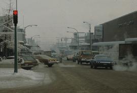
Image depicts Brunswick Street at 3rd Ave in -35 degree weather. Map coordinates 53°55'03.0"N 122°44'51.7"W
Image depicts 3rd Ave at Brunswick Street in -35 degree weather. Map coordinates 53°55'03.0"N 122°44'51.7"W
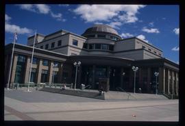
Image depicts the Courthouse in Prince George, B.C.
Image depicts Prince George from the view of Peden Hill.
Image depicts a Prince George residential area from the viewpoint of the Ginter Property.
Image depicts a Prince George residential area from the viewpoint of the Ginter Property.
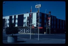
Image depicts the Prince George Hotel.
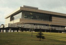
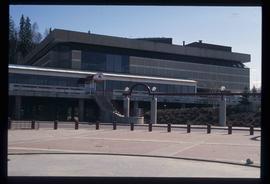
Image depicts the Prince George Public Library (Bob Harkins Branch). Map coordinates 53°54'43.1"N 122°44'56.4"W
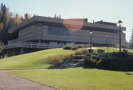
Image depicts the Prince George Public Library (Bob Harkins Branch). Map coordinates 53°54'44.6"N 122°45'01.7"W
Image depicts an aerial view of a Prince George residential section between Highway 97, Carney Street and 10th Ave looking north. Map coordinates 53°54'54.0"N 122°46'00.4"W
Image depicts the Prince George Sawmill from the Northwood Bridge.
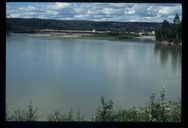
Image depicts Prince George Sawmill taken from across the Nechako River looking southwest. Map coordinates 53°56'00.0"N 122°44'29.7"W
Image depicts Prince George Sawmill taken from across the Nechako River looking southwest. Map coordinates 53°56'00.0"N 122°44'29.7"W
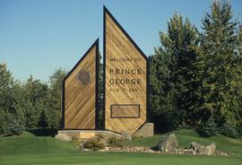
Image depicts the Prince George welcome and population sign, with a population of 71,086. Map coordinates 53°53'52.0"N 122°46'08.7"W
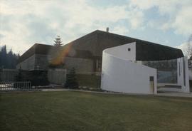
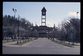
Image depicts the Four Seasons Leisure Pool, and the Centennial Fountain in Prince George, B.C. Map coordinates 53°54'48.5"N 122°44'49.2"W
Image depicts the Prince George Public Library.
Image depicts the Prince George Public Library from 7th Ave.
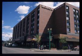
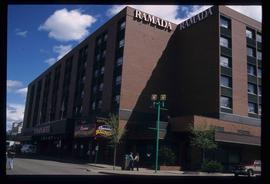
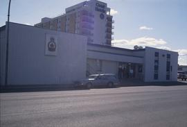
Image depicts the Ramada Hotel in Prince George, B.C.
Image depicts the Ramada Hotel in Prince George, B.C.
Image depicts the Royal Canadian Legion building on 7th Ave and the Inn of the North Coast Hotel in the background. Map coordinates 53°54'50.6"N 122°44'56.1"W
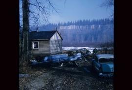
Image depicts several old, ruined cars and an unknown individual in Island Cache.
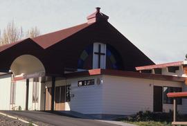
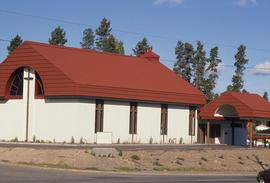
Image depicts the Salvation Army on Ospika Boulevard in Prince George, B.C. Map coordinates 53°55'02.6"N 122°47'41.6"W.
Image depicts the Salvation Army on Ospika Boulevard in Prince George, B.C. Map coordinates 53°55'02.6"N 122°47'41.6"W
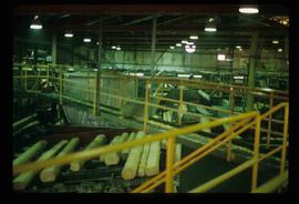
Image depicts logs being stripped of their bark at a saw mill in Prince George, B.C.
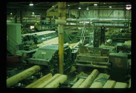
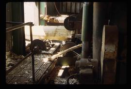
Image depicts the interior of a saw mill somewhere in Prince George, B.C.
Image depicts logs being cut into planks in the interior of a saw mill somewhere in Prince George, B.C.
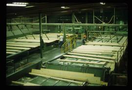
Image depicts wood planks in the interior of a saw mill somewhere in Prince George, B.C.
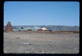
Image depicts a saw mill, possibly Lakeland Mills, with a beehive burner and numerous piles of logs in the foreground, in Prince George, B.C.
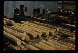
Image depicts numerous stripped logs and several unidentified individuals in hard hats at a saw mill somewhere in Prince George, B.C.
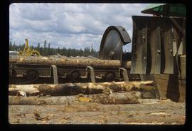
Image depicts a saw cutting a log in half at a saw mill in Prince George, B.C.
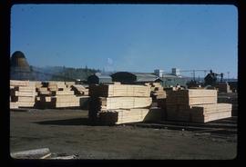
Image depicts numerous blocks of wood planks at a saw mill, possibly Lakeland Mills, somewhere in Prince George, B.C.
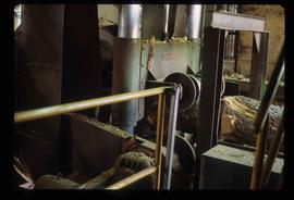
Image depicts machinery in a saw mill somewhere in Prince George, B.C.
Image depicts machinery stripping a log of its bark in a saw mill somewhere in Prince George, B.C.
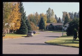
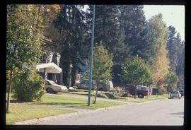
Image depicts the Seymour Subdivision in Prince George, B.C.
Image depicts the Seymour Subdivision in Prince George, B.C.
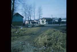
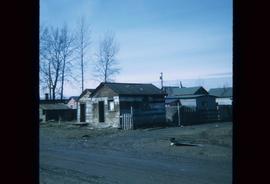
Image depicts a number of sheds in Island Cache.
Image depicts a number of sheds in Island Cache.
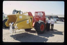
Image depicts two unidentified individuals examining a tractor meant to delimb trees. It is located in Prince George, B.C.
