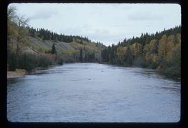
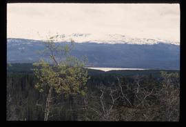
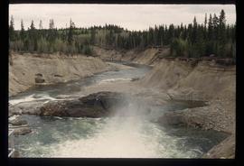
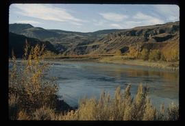
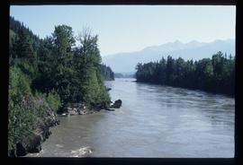
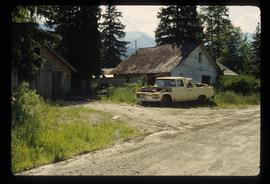
Image depicts the Bulkley River near Moricetown, B.C.
Image depicts a few old buildings, as well as several unknown individuals somewhere in Moricetown, B.C.
Image depicts a beaver dam somewhere in Hazleton, B.C.
Image depicts Babine Lake.
Image depicts an 80 tonne truck at a mine site somewhere in Granisle, B.C.
Image depicts the peak of the Rocher de Boule mountain from Hazelton, B.C.
Image depicts the Inlander Hotel in Hazelton, B.C. The peak of the Rocher de Boule mountain is visible in the background.
Image depicts a mountain in Smithers, B.C.
Image depicts the ferry at Isle Pierre, B.C.
Image depicts the Bulkley River running through Moricetown Canyon.
Image depicts a stretch of road through the Bulkley Valley.
Image depicts a mountain in Smithers, B.C.
Image depicts the Stellako River.
Image depicts a view of the Fraser Lake from Lejac, B.C.
Image depicts a bridge in Hagwilget, B.C.
Image depicts a view of the forest surrounding Francois Lake.
Image depicts a man, possibly Kent Sedgwick, standing next to a monument which states: "In honour of the pioneers of the Ootsa Lake Valley, first settled in 1905." Located somewhere in either the Francois Lake Provincial Park or the Wistaria Provincial Park.
Image depicts a river, possibly somewhere in the Wistaria Provincial Park.
Image depicts a field somewhere near Grassy Plains, B.C.
Image depicts the cemetery in Hazelton, B.C.
Image depicts two bridges in Telkwa, B.C. One is for trains.
Image depicts two unknown individuals at the Tsilcoh Falls, north of Fort St. James and somewhere near Pinchi Lake Road.
Image depicts a field along Telegraph Road, south-west of Vanderhoof, B.C.
Image depicts Telegraph Road, south-west of Vanderhoof, B.C.
Image depicts a field along Telegraph Road, south-west of Vanderhoof, B.C.
Image depicts Francois Lake.
Image depicts a section of land on the east end of Francois Lake. The lake is visible in the distance.
Image depicts Chimney lake with a number of houses near the shore, and a child in the foreground.
Image depicts the Fraser River in the Fraser Canyon.
Image depicts the sign to Gang Ranch, located in the Upper Fraser Canyon, with graffiti on it.
Image depicts what is possibly the Nass River.
Image depicts an unidentified individual diving into a pool of water at an uncertain location.
Image depicts a small waterfall at an uncertain location.
Image depicts a small section of the Bear Glacier.
Image depicts the Rocky Mountain Trench from McBride, B.C.
Image depicts a view of what is either the Rocky Mountains or possibly the Columbia Mountains from McBride, B.C.
Image depicts a view of what is either the Rocky Mountains or possibly the Columbia Mountains near McBride, B.C.
Image depicts a view of a mountain range near Valemount, B.C. Valemount is barely visible among the trees on the right side of the image.
Image depicts a view of Valemount with numerous mountains in the background.
Image depicts Mt. Robson.
Image depicts a view of an area somewhere near McBride in the Rocky Mountain Trench.
Image depicts a heavily forested area located in the Rocky Mountain Trench, possibly near Dome Creek or Lamming Mills, B.C.
Image depicts a Yellowhead Realty sign in Lamming Mills, B.C. It reads: "For Sale, entire community, 50 buildings, 60 acres."
Image depicts a beehive burner in the community of Crescent Spur, B.C.
Image depicts several old houses and an old, yellow pick-up in Lamming Mills, B.C.
Image depicts what appears to be the old, abandoned mill in Lamming Mills, B.C.
Image depicts the CN Railway and Station at Goat River, B.C.